£150 - £250
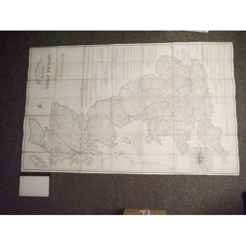
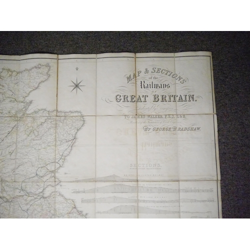
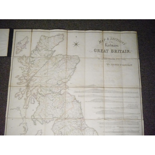
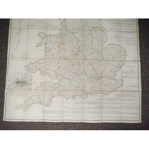
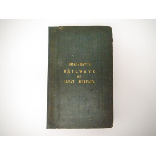
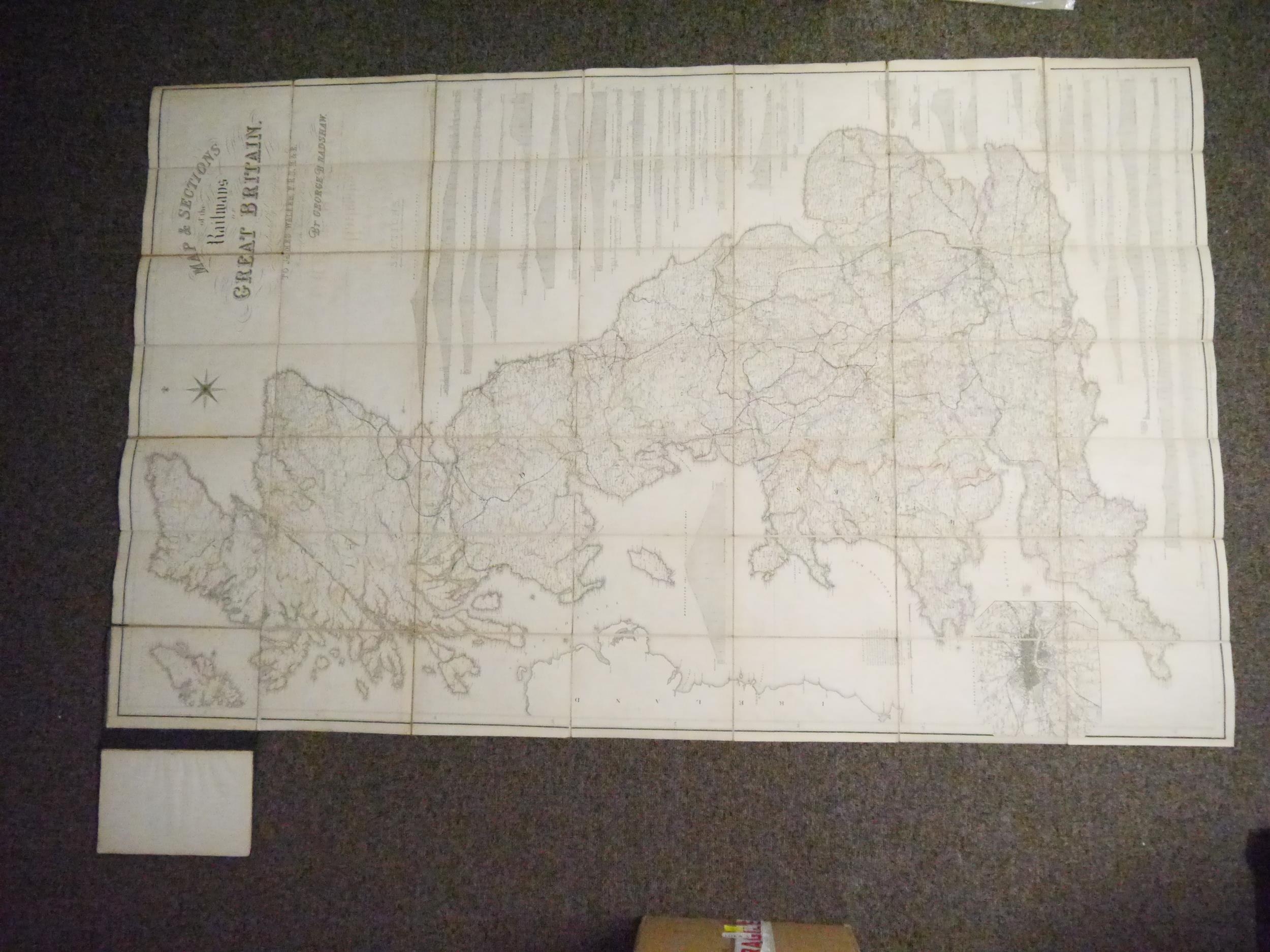
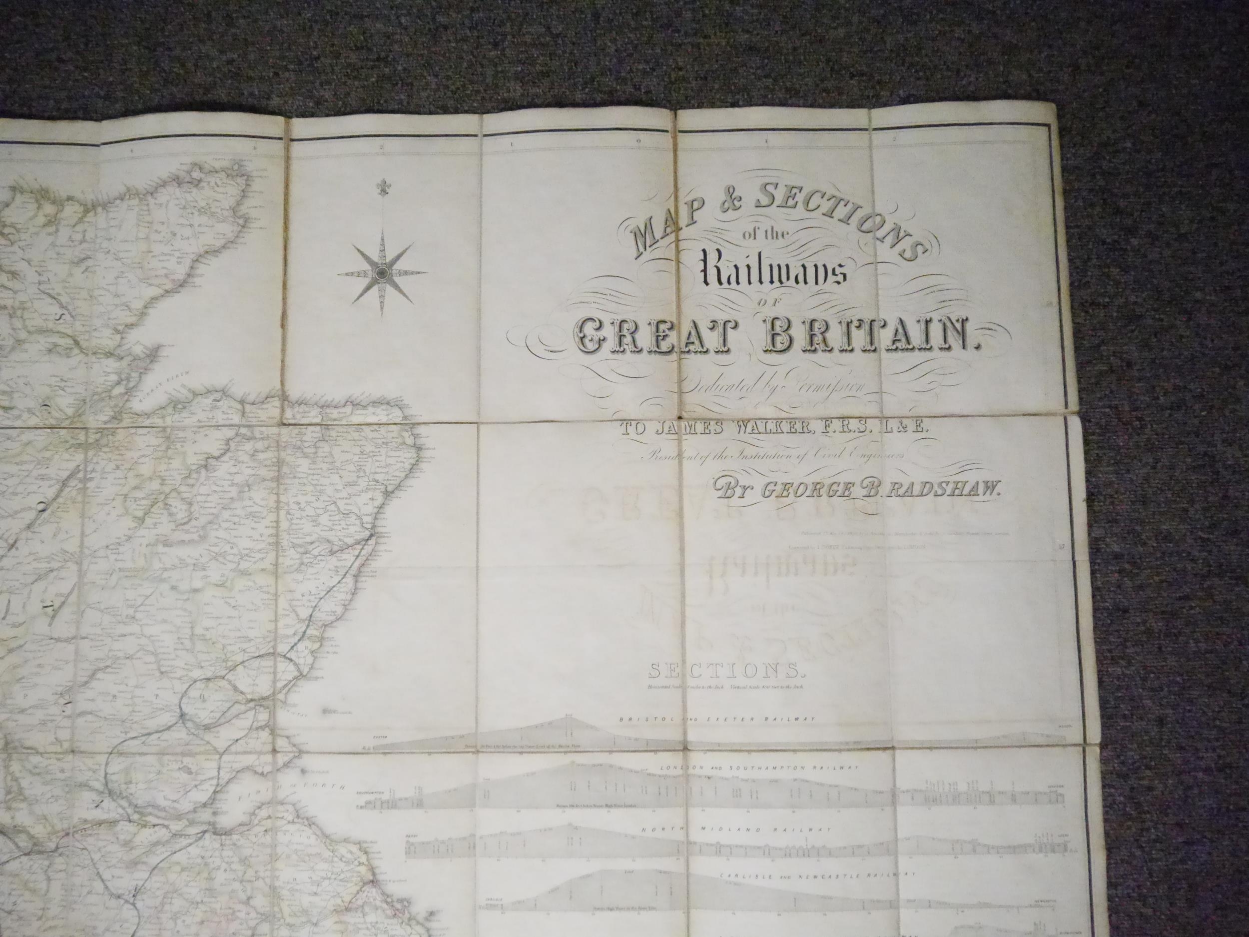
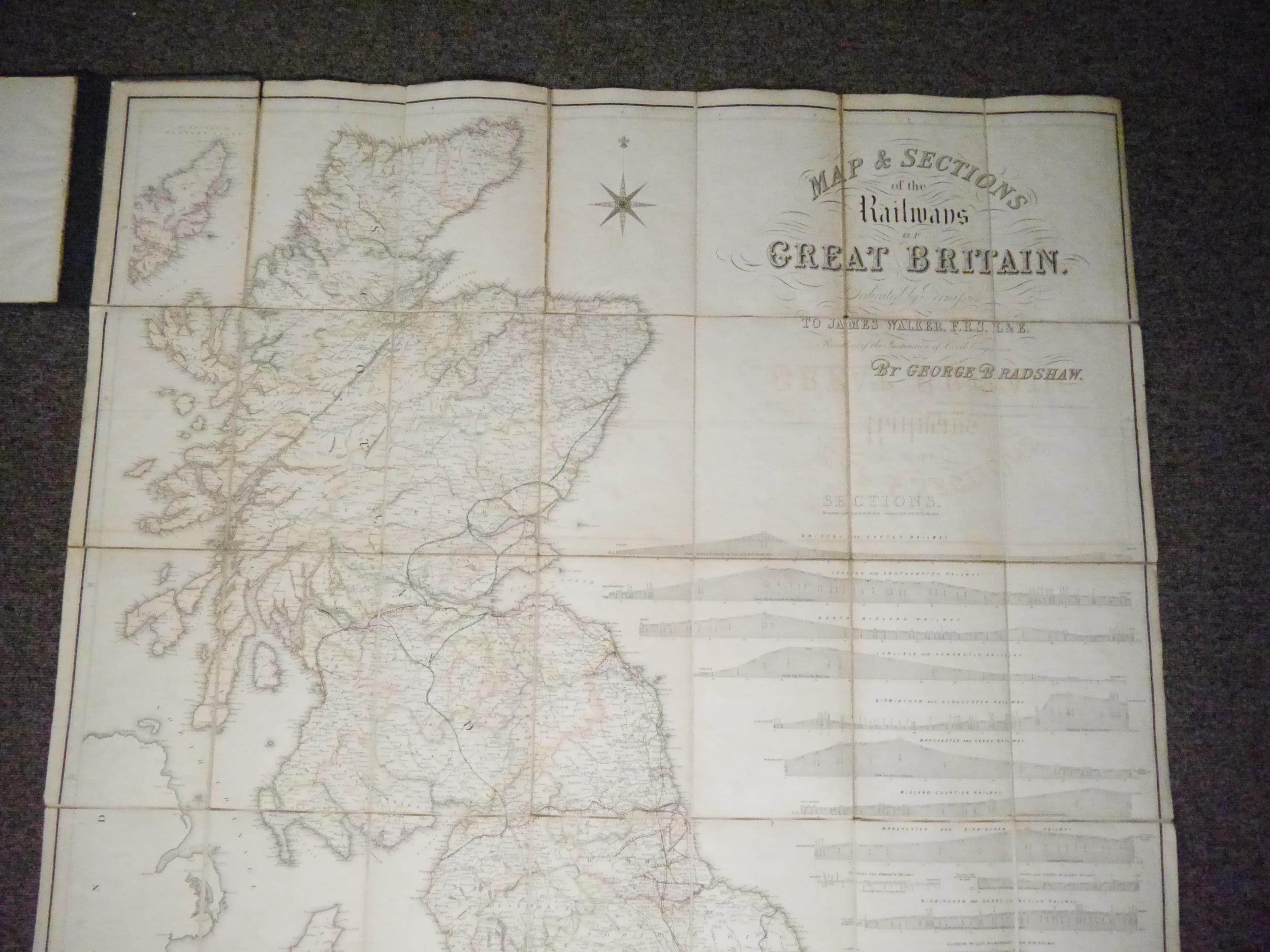
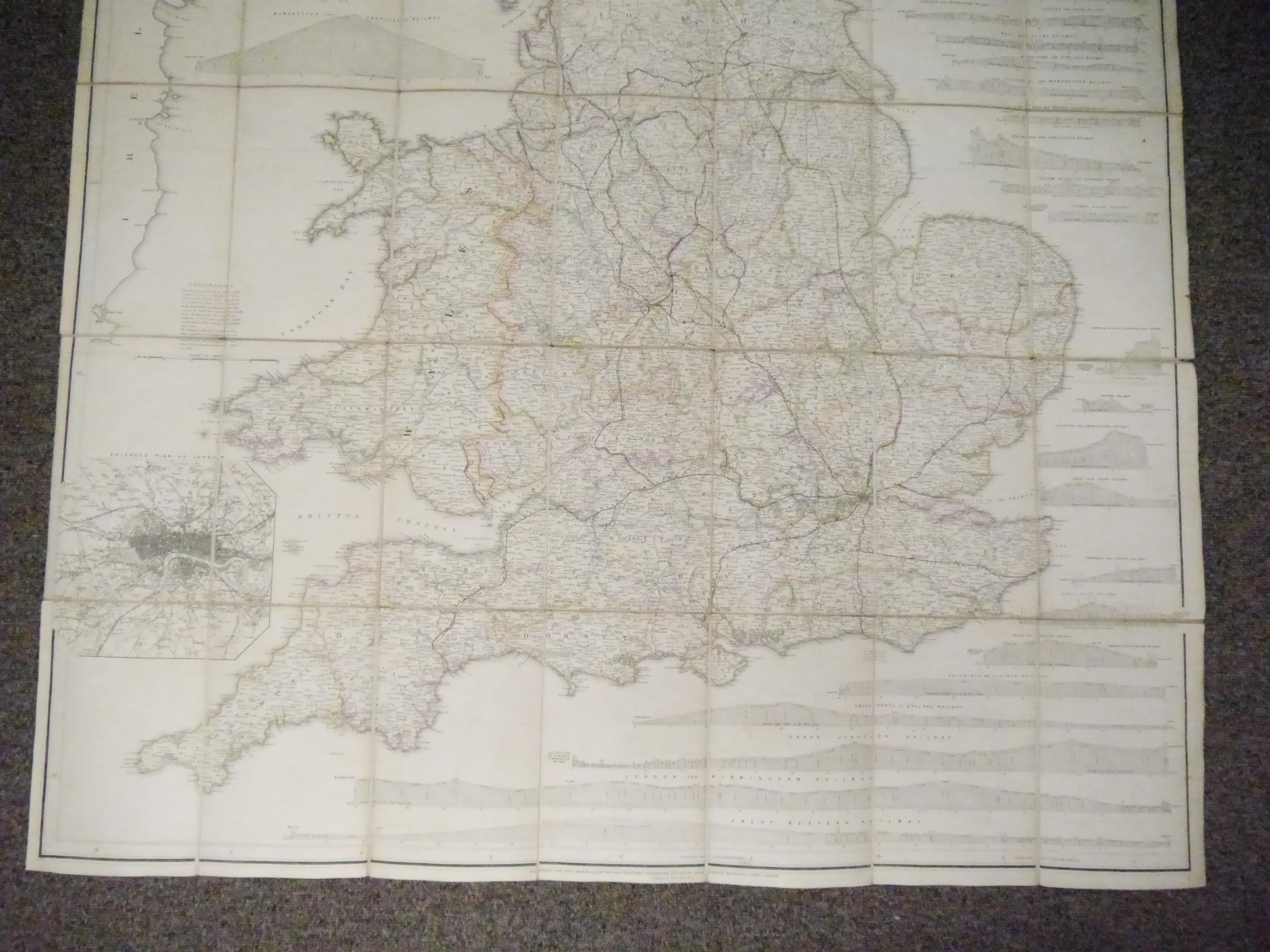
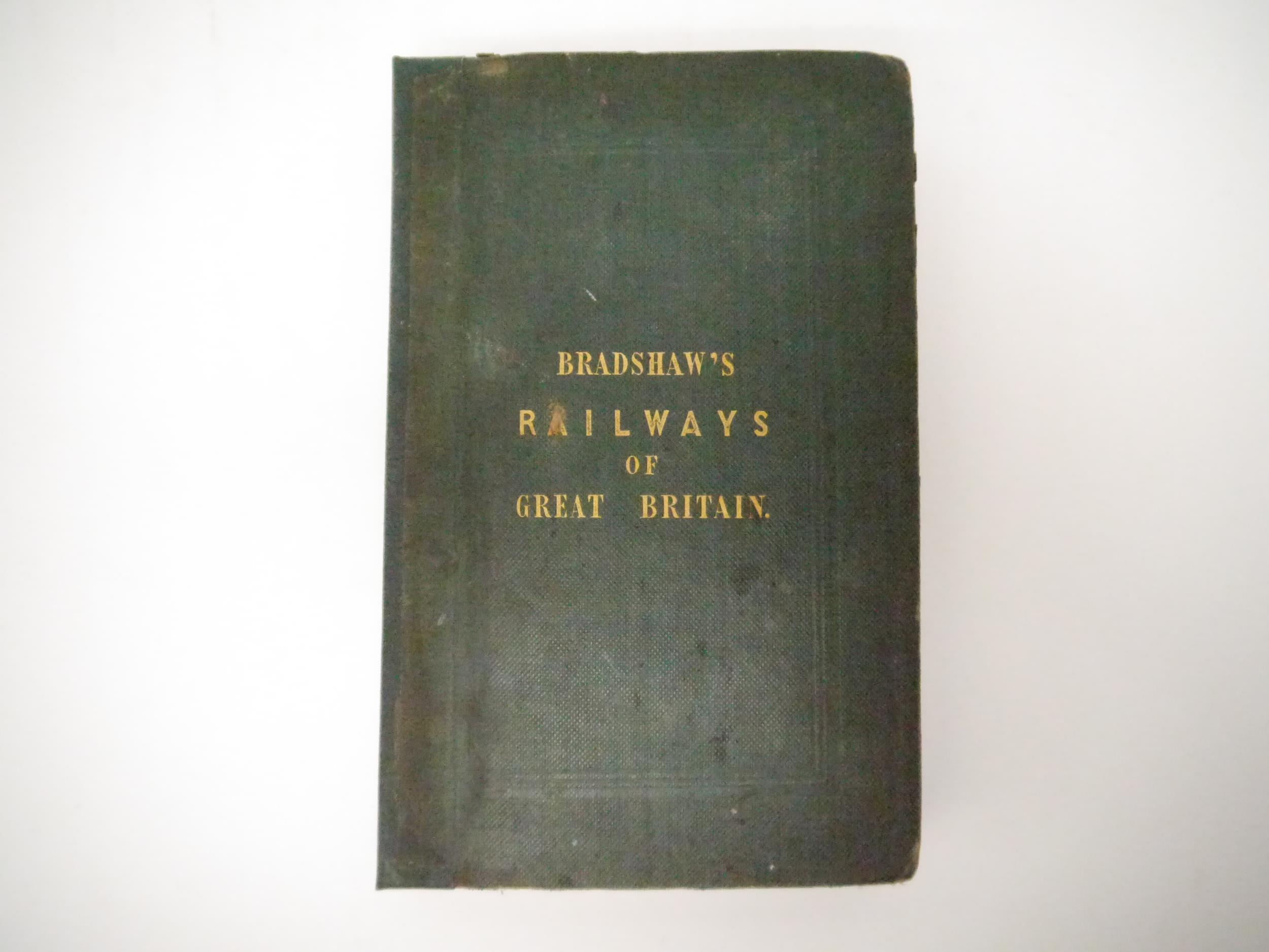
George Bradshaw: 'Map & Sections of the Railways of Great Britain. Dedicated by Permission to James Walker F.R.S. L & E President of the Institution of Civil Engineers', Manchester, 14 January 1839, large engraved folding map, hand coloured in outline, dissected and backed onto linen, inset plan of London, numerous engraved gradient sectional diagrams, approx. 162 x 102.5cm, bound in with (as issued), 'Tables of gradients to Bradshaw's map of the railways of Great Britain : containing particulars of the lengths levels and gradients of all the principal railways in the Kingdom.', Manchester, George Bradshaw, 1839, 1st edition, 32pp, with several tables, original cloth gilt, recased retaining majority of original backstrip. Recognized as the first detailed and comprehensive railway map. The name George Bradshaw (1801-53) is synonymous with the British Railways. He was the author and publisher of the railway guides which were such an important part of Victorian travel. ‘Bradshaw, whose name was to become synonymous with railway timetables, published his first guide in 1830 with the opening of the Liverpool-Manchester Line and his first timetable in 1839, the same year as this, the first railway map’ (Wardington).
Fees apply to the hammer price:
Free Registration
25.6% inc VAT*
Flat Fee Registration
22.00% inc VAT*