£150 - £250
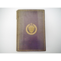
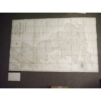
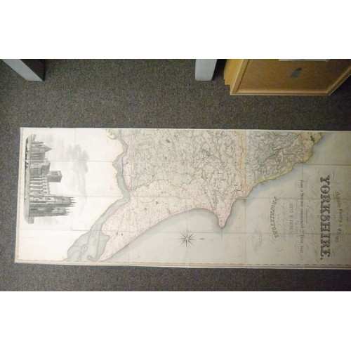
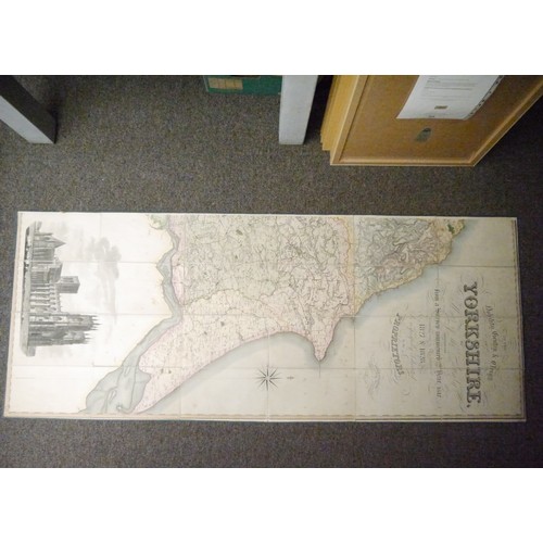
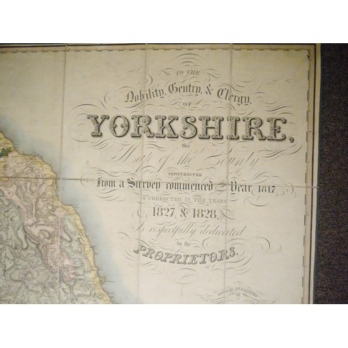
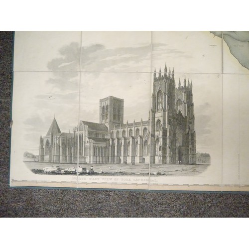
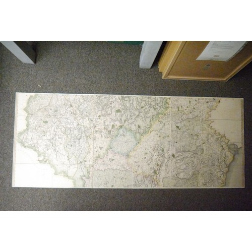
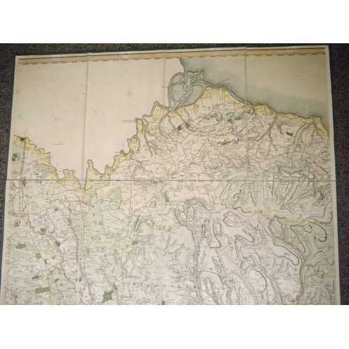
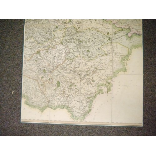
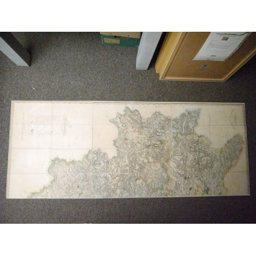
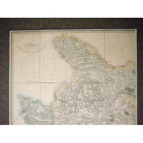
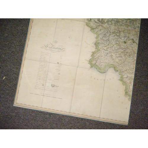
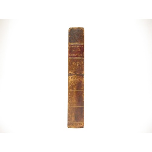
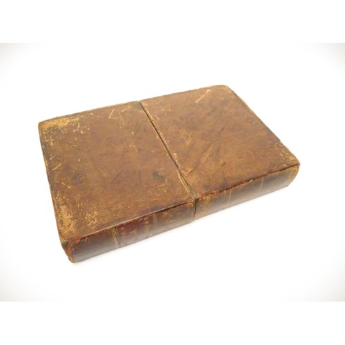
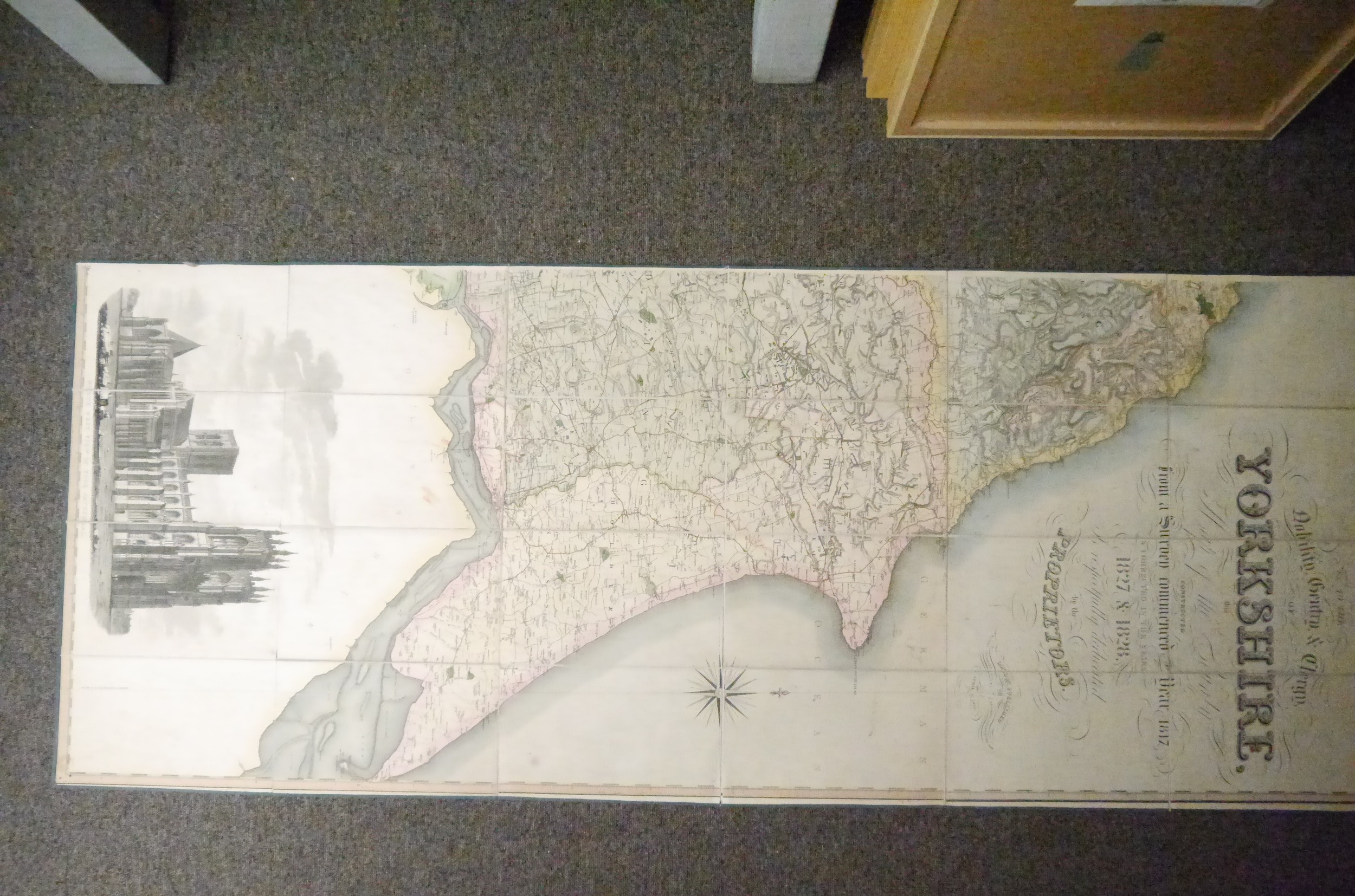
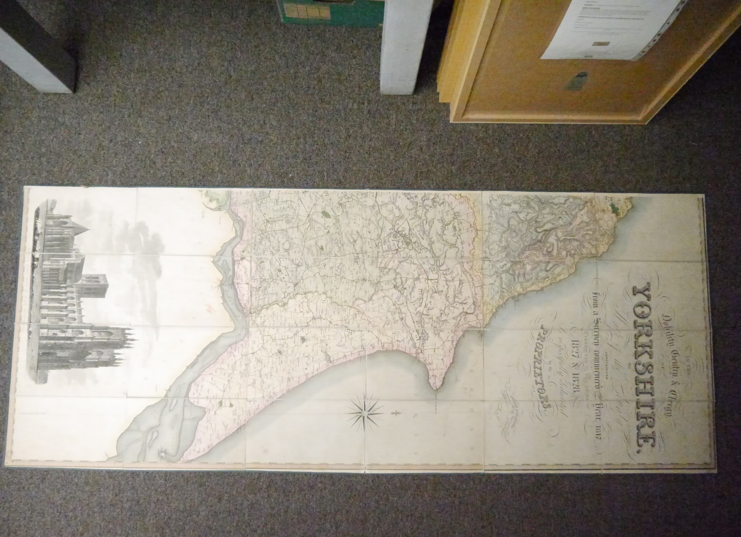
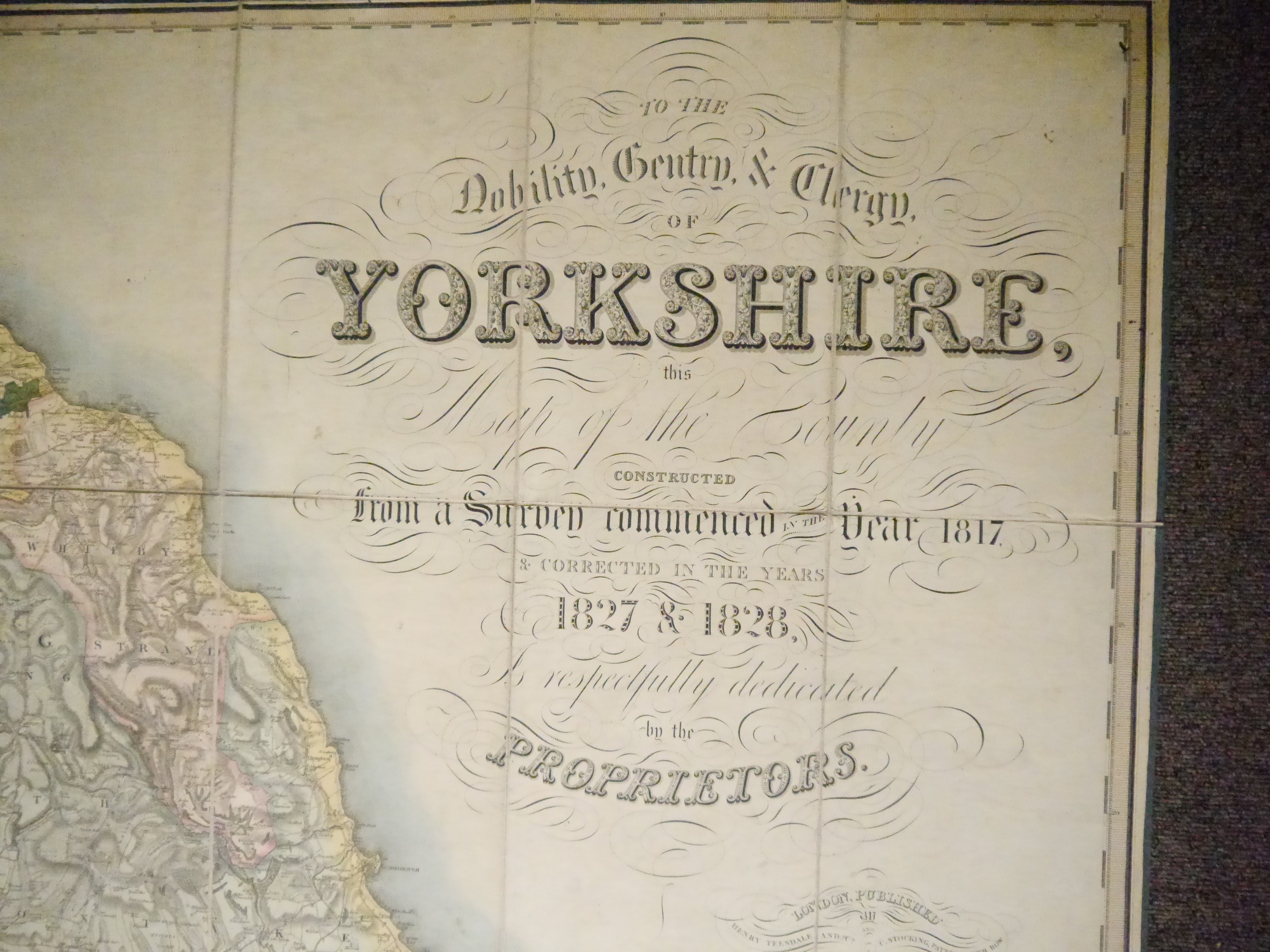
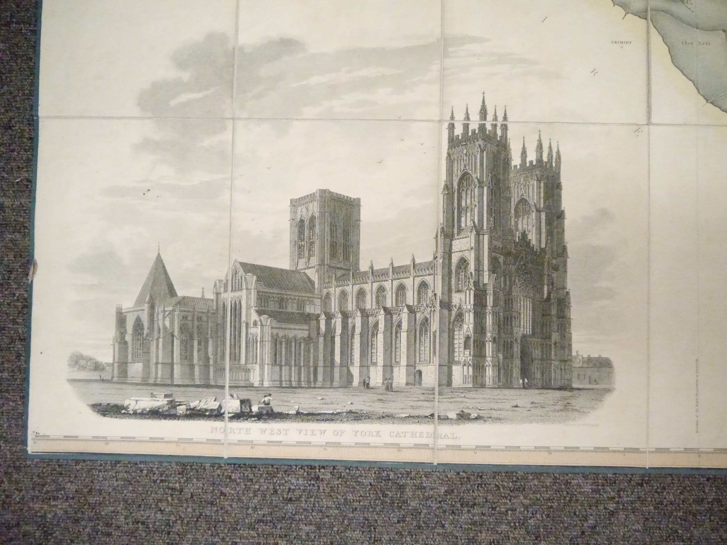
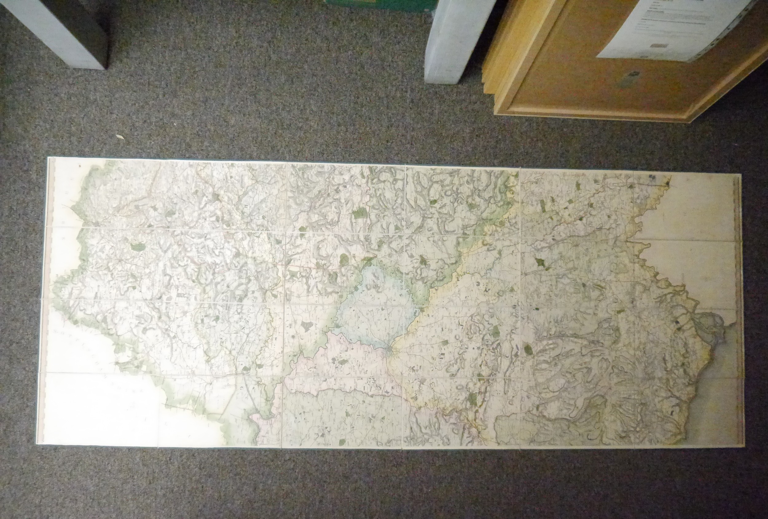
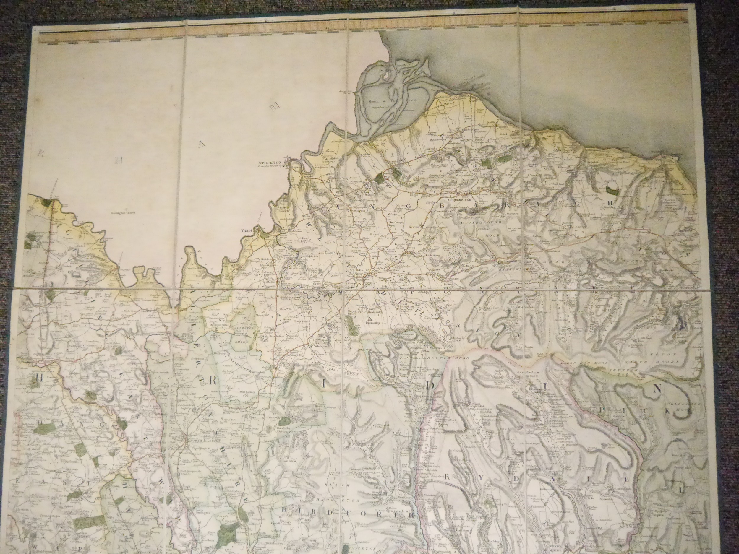
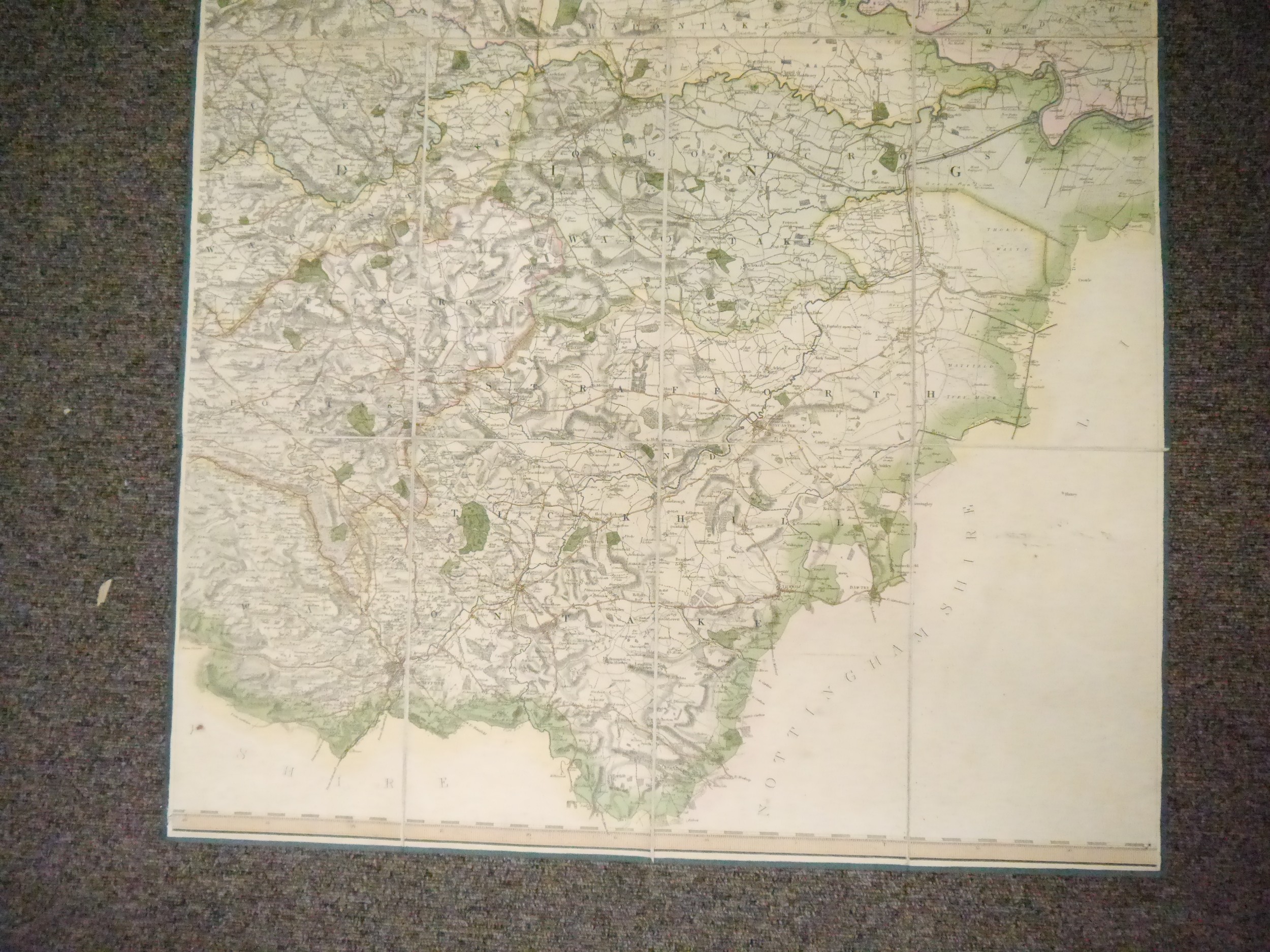
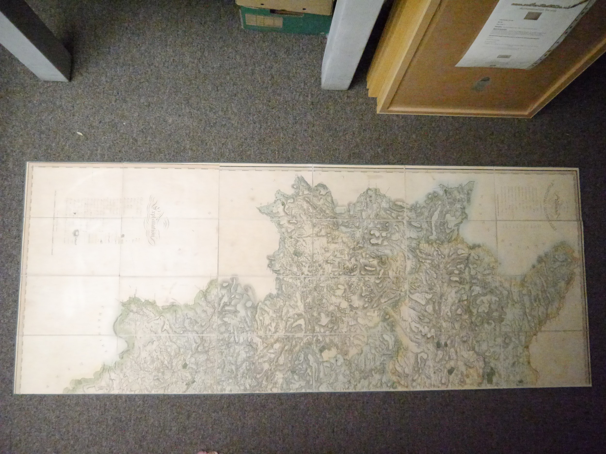
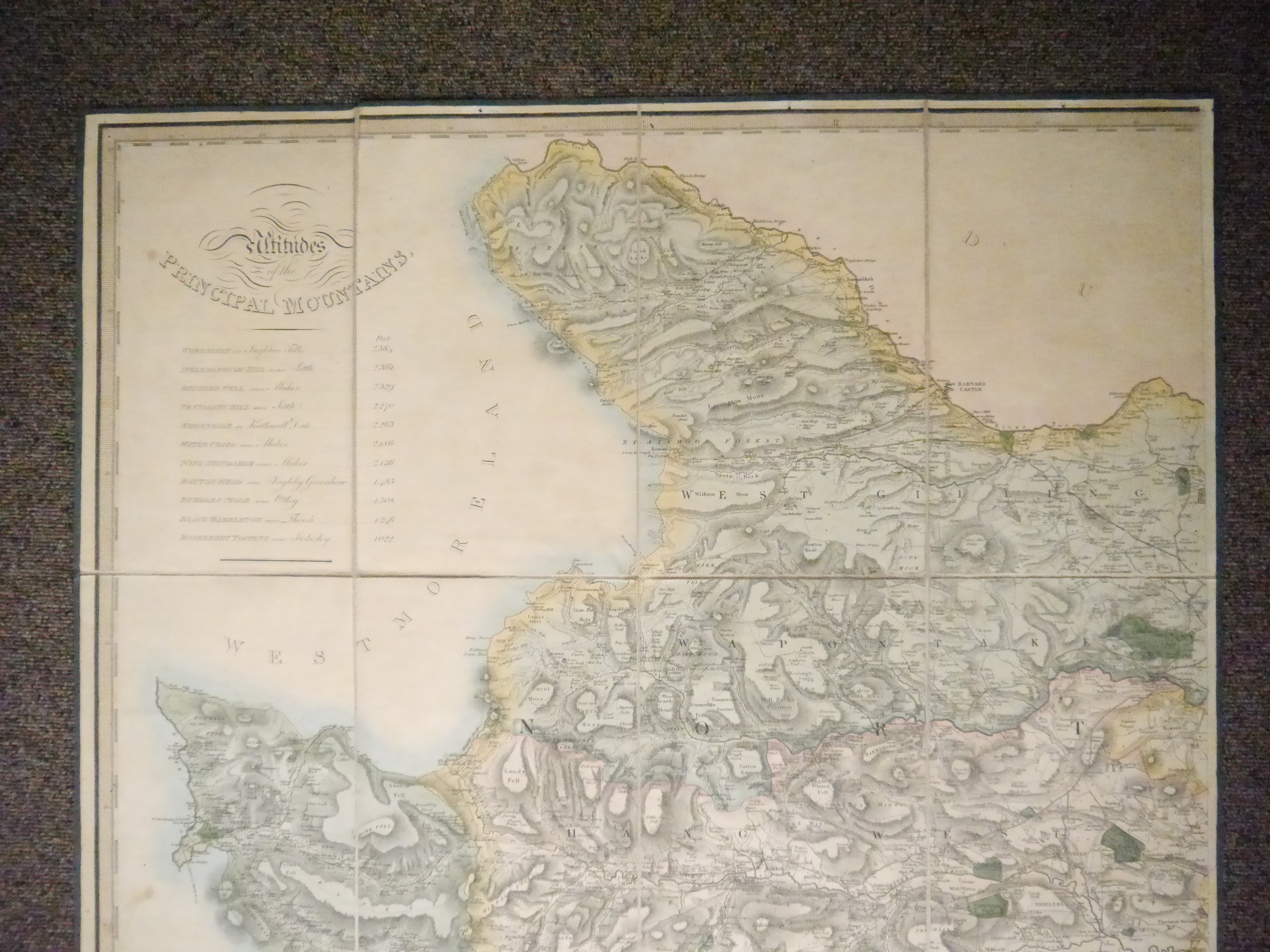
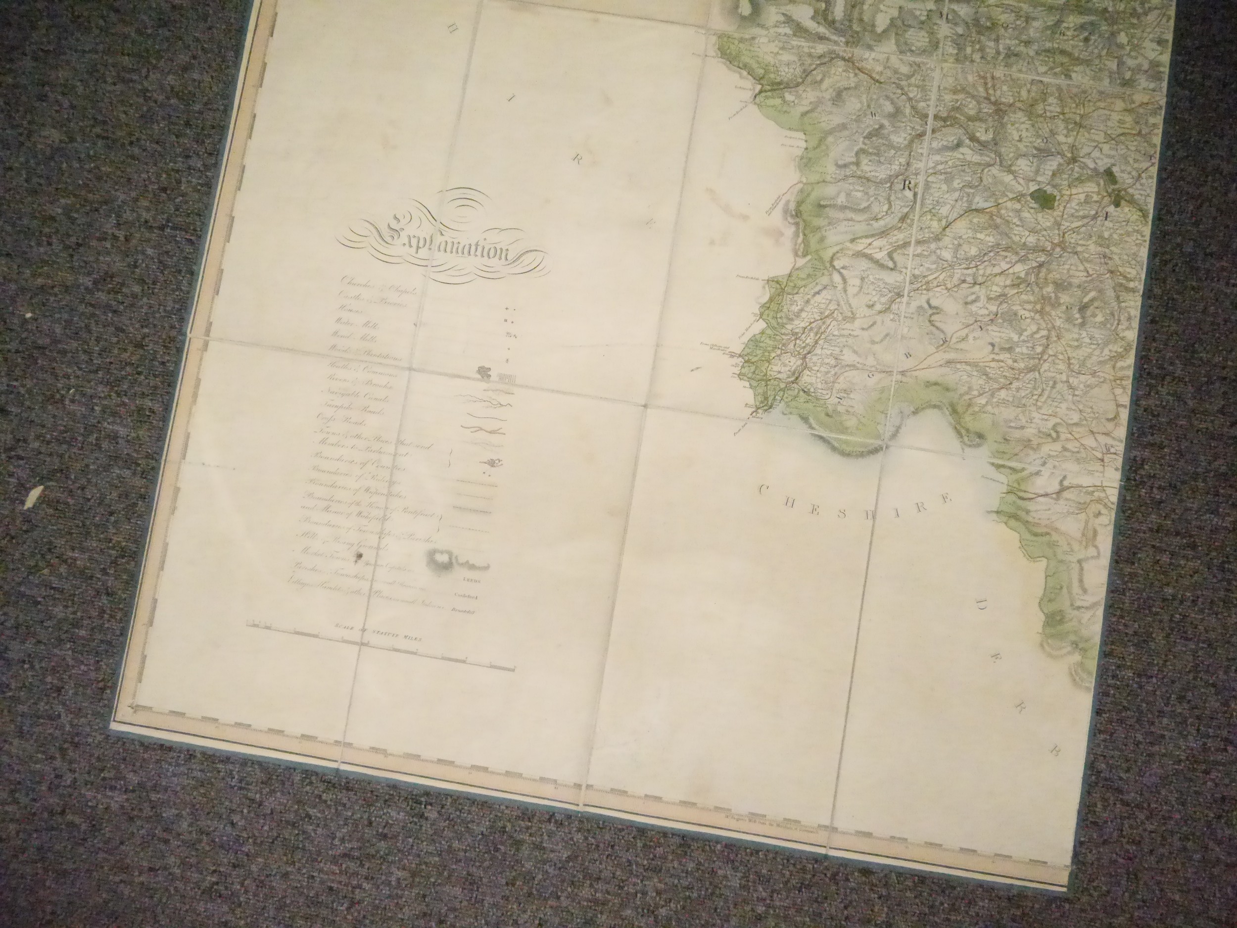
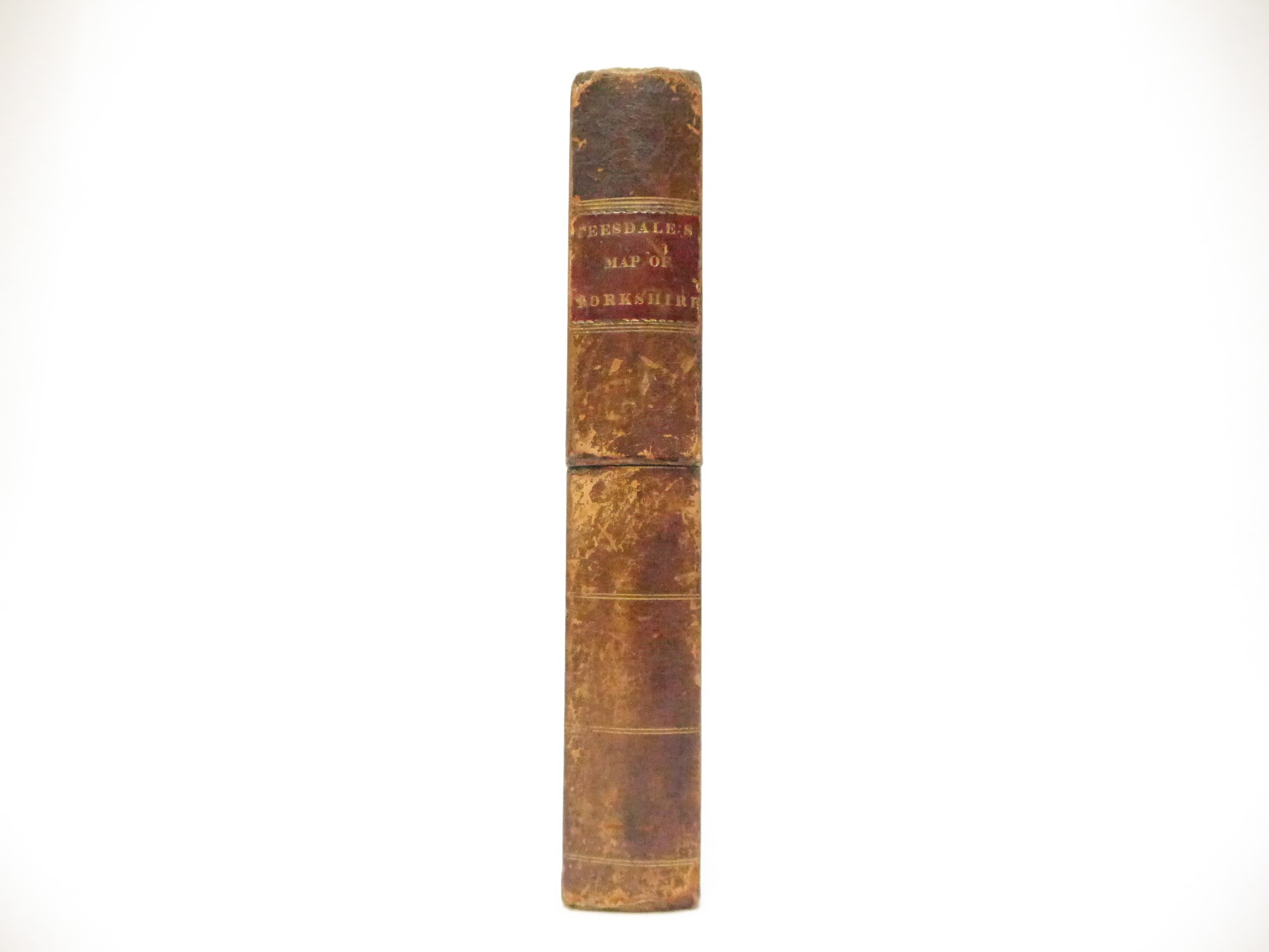
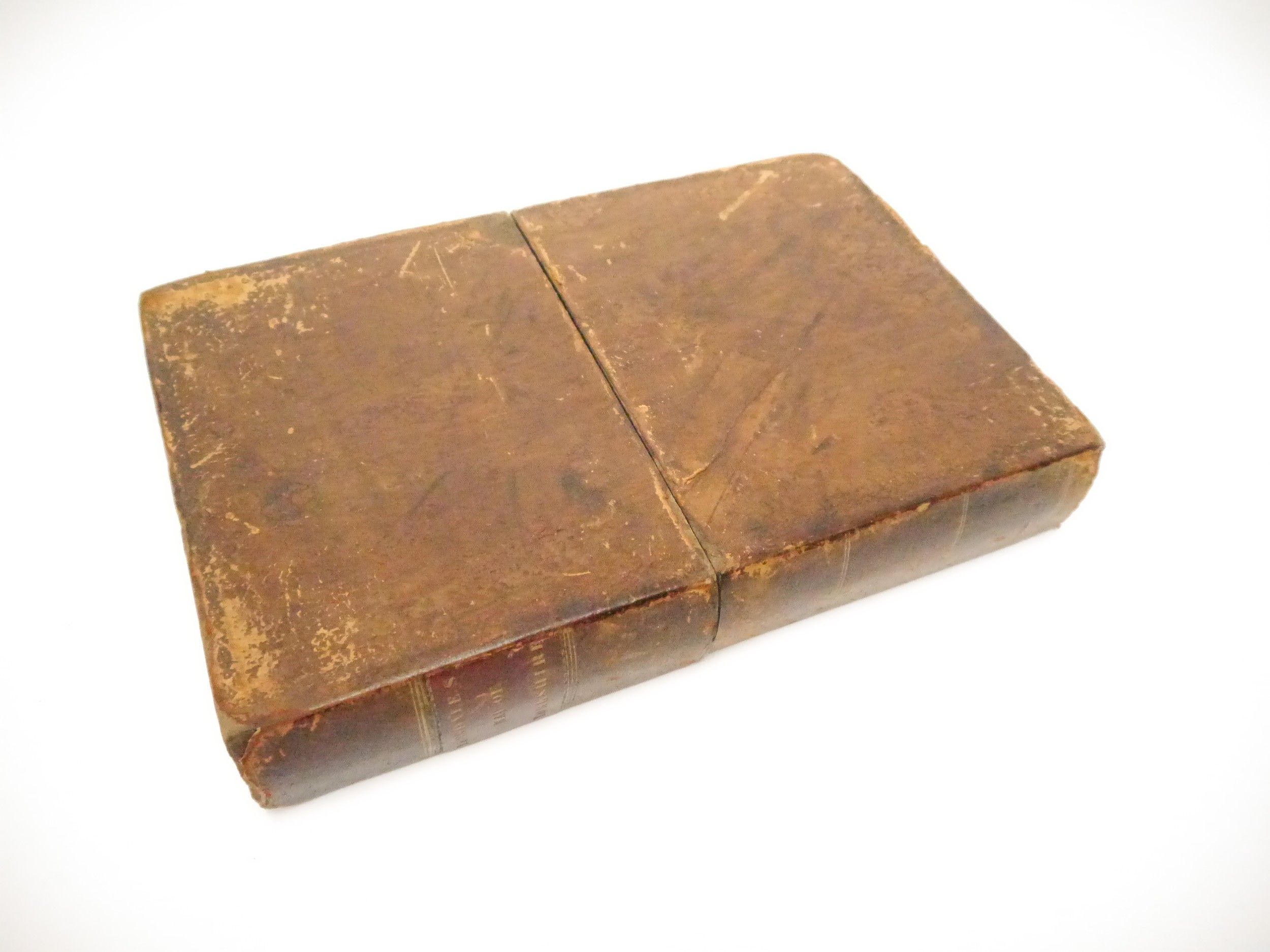
Yorkshire. Henry Teesdale & C. Stocking, To the Nobility, Gentry & Clergy of Yorkshire, this map of the county constructed from a survey commenced in the year 1817 & corrected in the years 1827 & 1828 is respectfully dedicated by the proprietors, April 21st, 1818, Teesdale & Co. and C. Stocking, April 21, 1828, very large hand coloured engraved folding map, three separate sheets, each dissected and laid onto linen, calligraphic title, compass rose, table of explanation and a table of the altitudes of the principal mountains and an uncoloured engraved vignette of the North West View of York Cathedral, overall size overall size 184 x 223cm, contained in a contemporary calf gilt book box, morocco gilt title label to spine
Fees apply to the hammer price:
Free Registration
25.6% inc VAT*
Flat Fee Registration
22.00% inc VAT*