£100
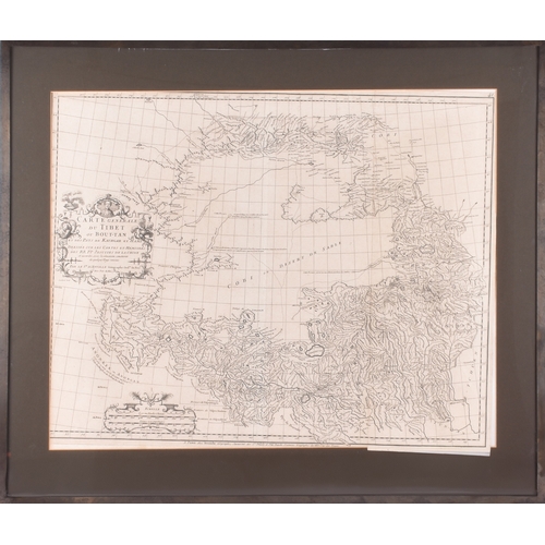
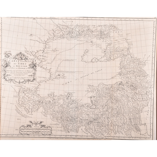
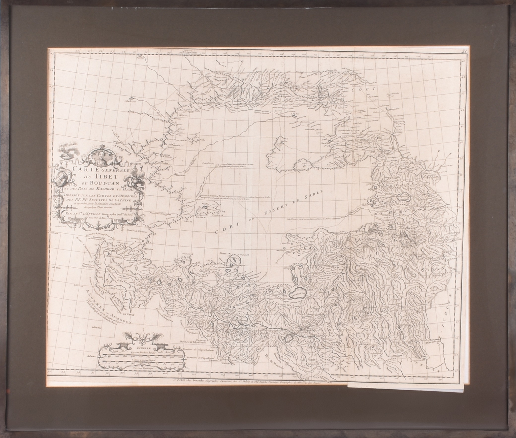
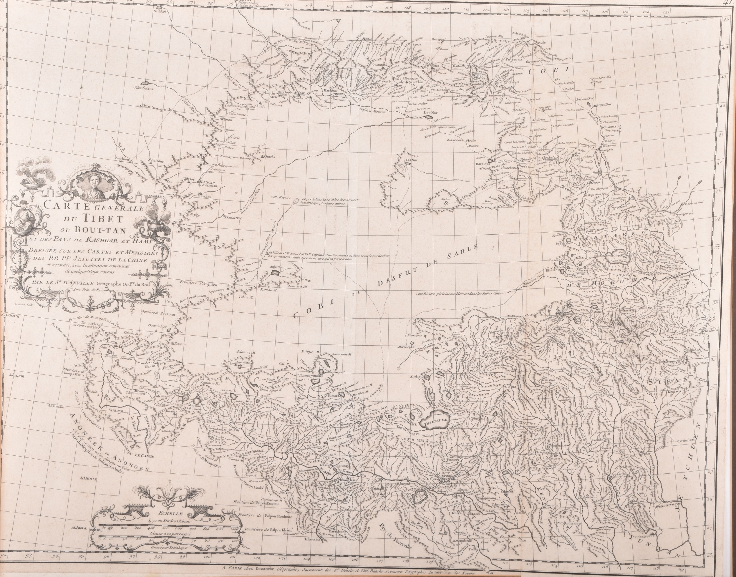
Jean-Baptiste Bourguignon d’Anville.
"Carte Générale du Tibet ou Bout-tan et des Pays de Kashgar et Hami", A map depicting Tibet, Bhutan, and parts of Central Asia created in 1733, 47 x 58 cm, framed.
Note: the map was later published in Nouvel Atlas de la Chine, de la Tartarie Chinoise et du Thibet. The map is based on surveys conducted by Jesuit missionaries in China during the early 18th century, it is regarded as one of the most accurate and detailed representations of the region from that era.
Fees apply to the hammer price:
Free Registration
33.6% inc VAT*
Flat Fee Registration
30.00% inc VAT*