£160
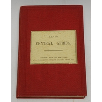
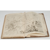
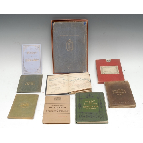
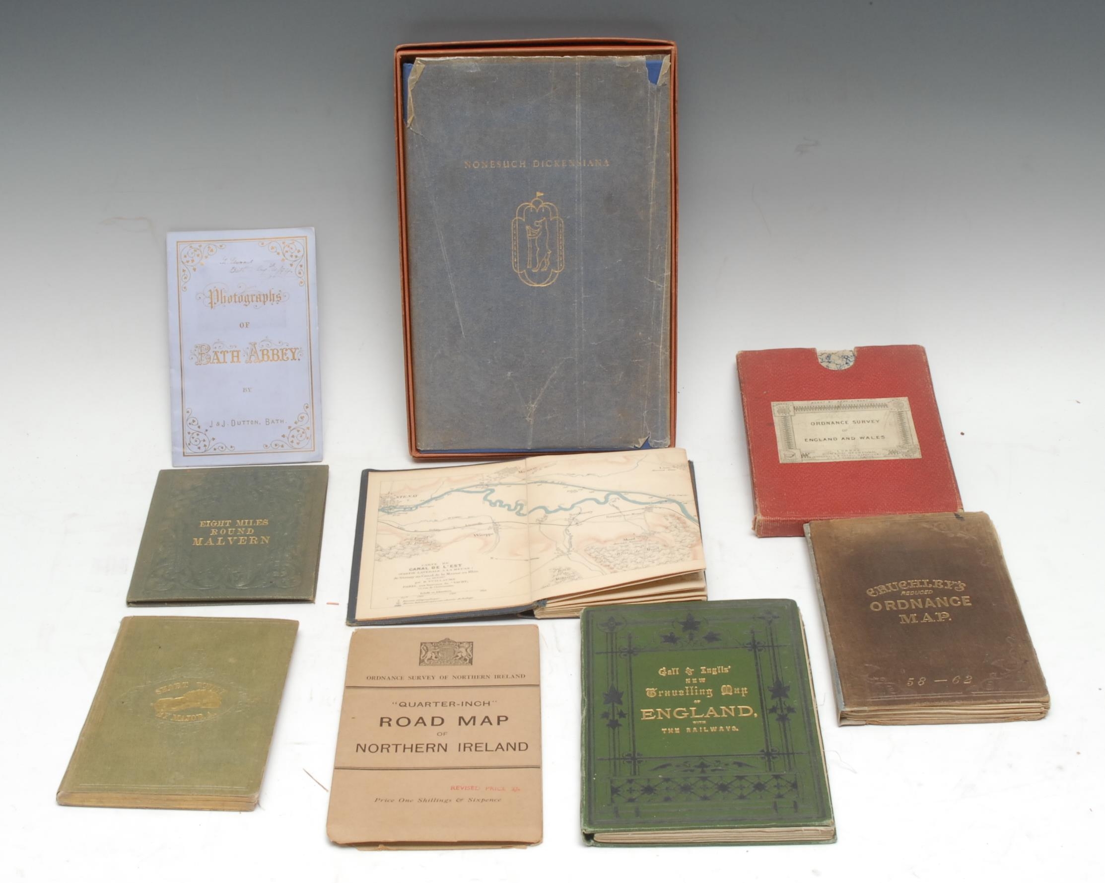
Cartography - five mid-late 19th century cloth bound pocket maps, including Rankin's Eight Miles Round Malvern, Malvern: H.W. Lamb, [n.d., c. 1850], 43cm x 42.5cm, the binding enclosing the Lamb's ticket too, (1); the others including, Ordnance Survey of England Wales, marbled wrappers and slipcase en suite, (1); Cruchley's Reduced Ordnance Map, (1); Rhineland Transport, Carte du Canal de l'Est, (1); Gall & Inglis' New Travelling Map of England, with The Railways, (1); a later Ordnance Survey "Quarter-Inch" Road Map of Northern Ireland, (1); books, including [Coles (Charles Barwell)], Short Whist [...], London, 1855, original cloth, 8vo, (1); Dutton's Photographs of Bath Abbey, [c. 1894], original lavender wrappers, (1); Nonesuch Dickensiana, 1937, original blue cloth, box en suite, 8vo, (1), [9]
Fees apply to the hammer price:
Free Registration
33.3% inc VAT*
Flat Fee Registration
29.70% inc VAT*