![3348 - D'Anville [(Jean-Baptiste Bourguignon)], an atlas of 18 engraved maps of ancient history and city st...](https://content.easyliveauction.com/auctions/images_lots/D25E94ED10D7736022C9C89B4DE884E8_bam01/1100420434_PREVIEW.JPG)
![3348 - D'Anville [(Jean-Baptiste Bourguignon)], an atlas of 18 engraved maps of ancient history and city st...](https://content.easyliveauction.com/auctions/images_lots/D25E94ED10D7736022C9C89B4DE884E8_bam01/1100420432_PREVIEW.JPG)
![3348 - D'Anville [(Jean-Baptiste Bourguignon)], an atlas of 18 engraved maps of ancient history and city st...](https://content.easyliveauction.com/auctions/images_lots/D25E94ED10D7736022C9C89B4DE884E8_bam01/1100420433_PREVIEW.JPG)
![3348 - D'Anville [(Jean-Baptiste Bourguignon)], an atlas of 18 engraved maps of ancient history and city st...](https://content.easyliveauction.com/auctions/images_lots/D25E94ED10D7736022C9C89B4DE884E8_bam01/1100420435_PREVIEW.JPG)
£750
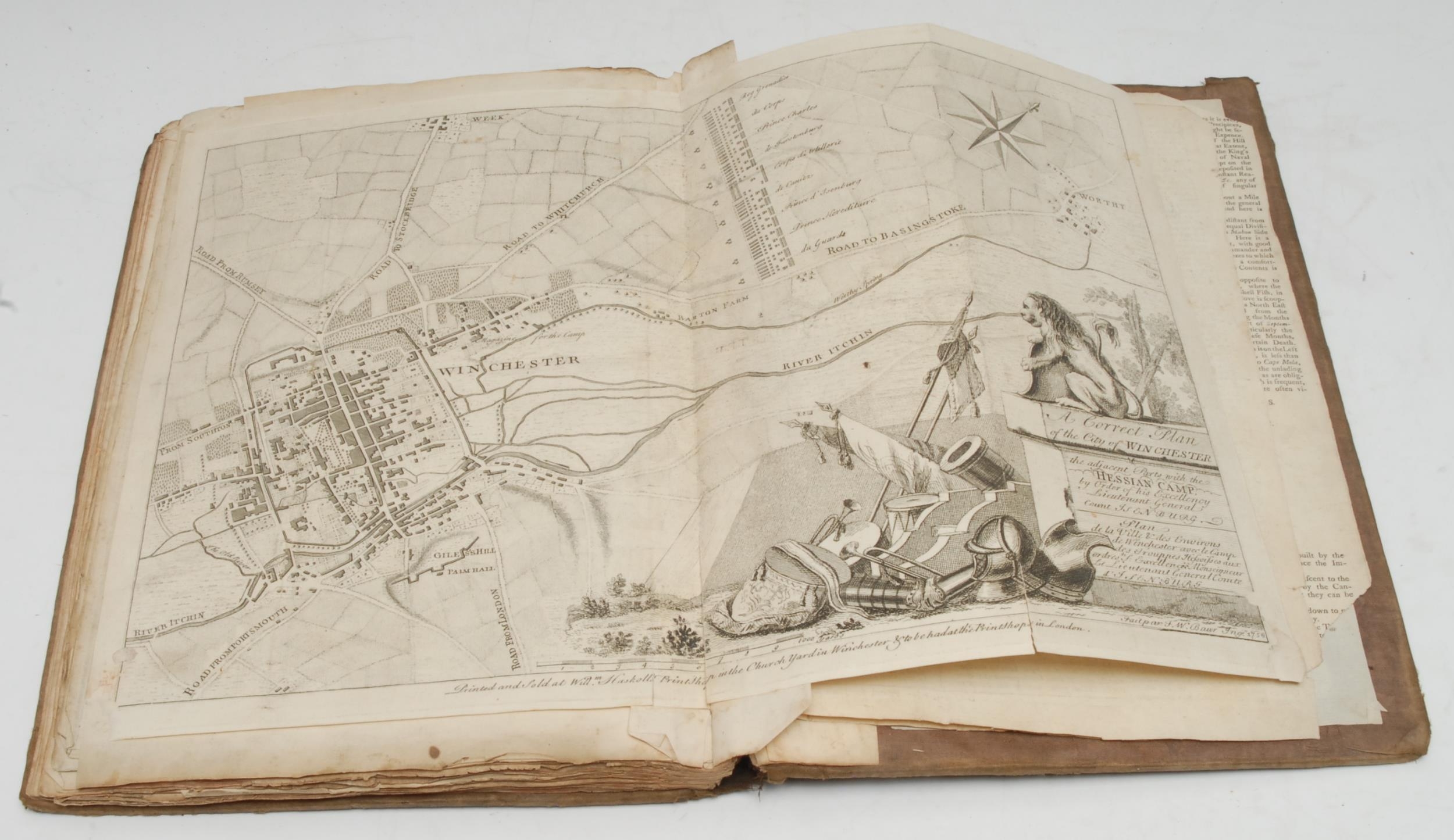
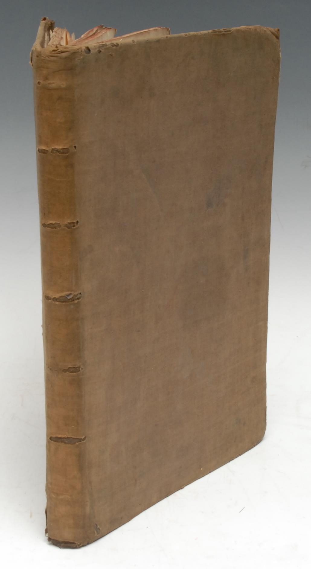
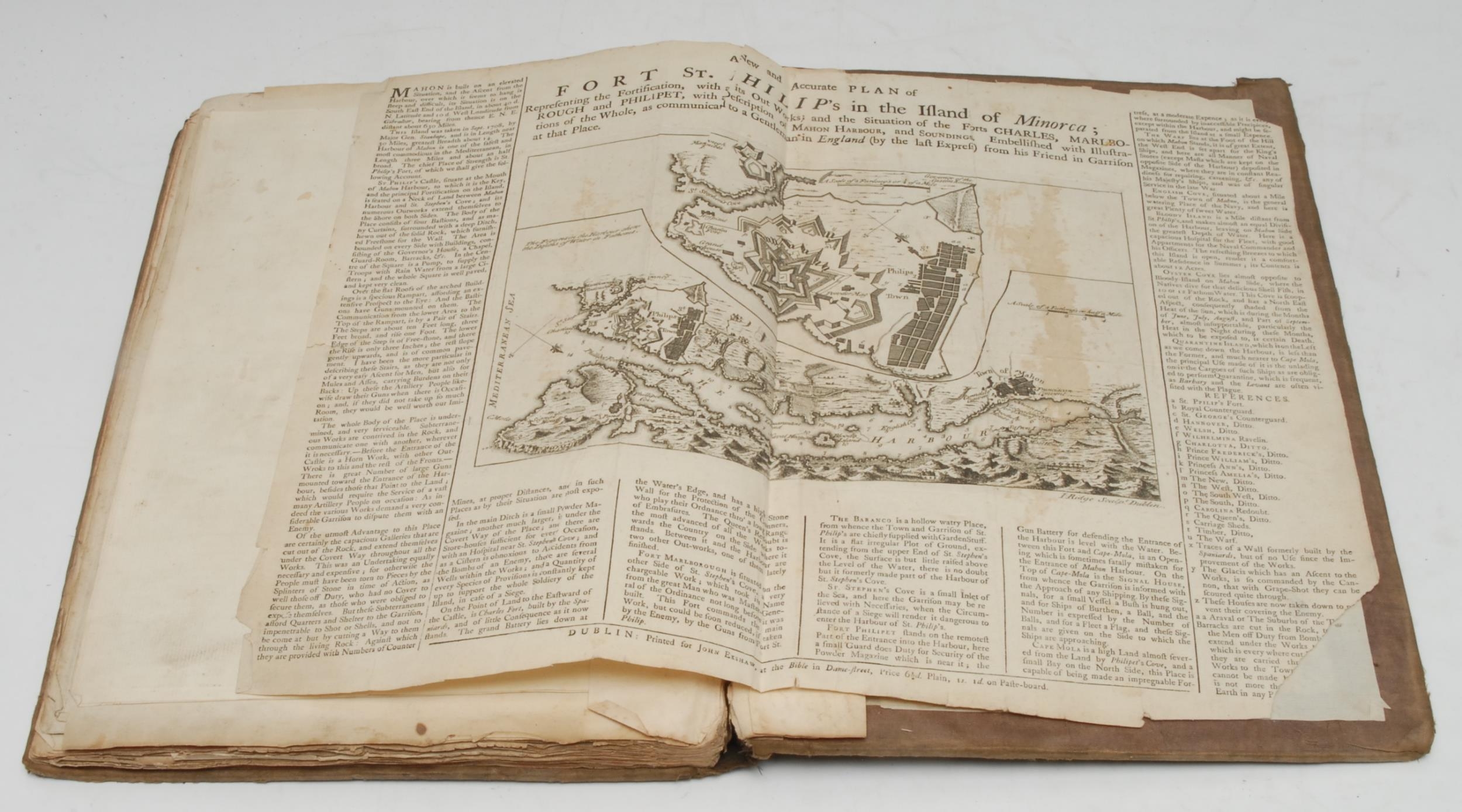
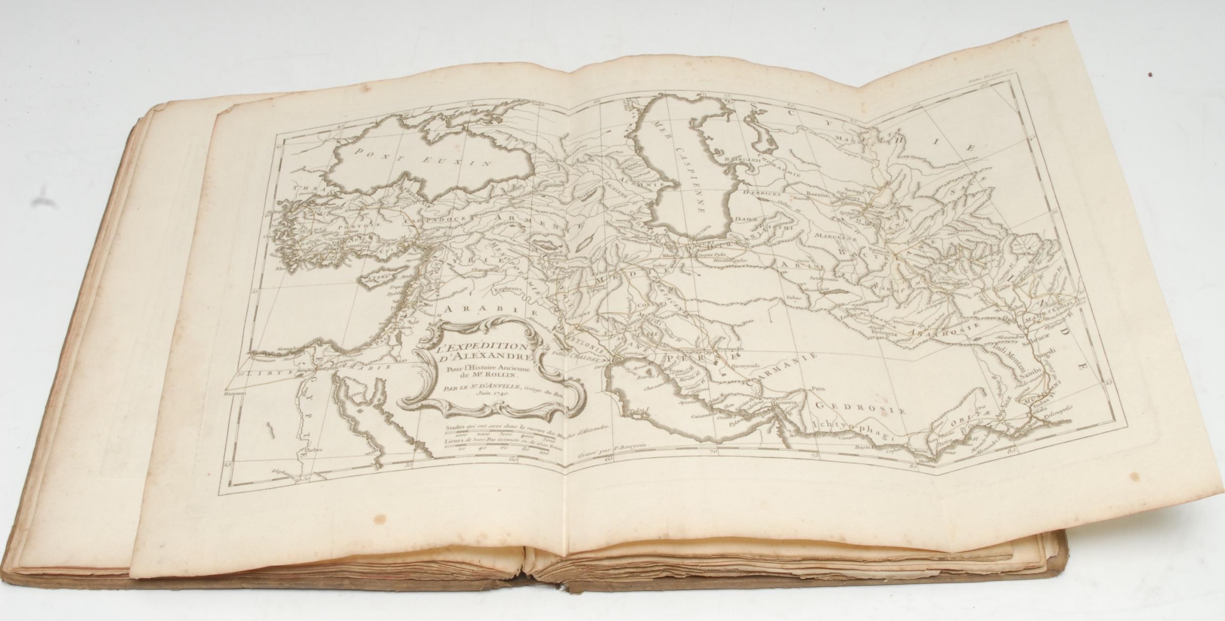
D'Anville [(Jean-Baptiste Bourguignon)], an atlas of 18 engraved maps of ancient history and city states (of which 7 are folding), principally monochrome but some with hand-coloured delineation, dated between 1738-1740 within the plate's cartouche, but almost certainly from the 'Atlas Contenant Vingt-Sept Cartes Geographiques, pour Servir a l`Histoire Ancienne et Romaine', [Paris, ?1801], the cartographic sammelband extra-illustrated with a further 6 maps and 3 engravings, including Baur [(Friedrich Wilhelm)], A Correct Plan of the City of Winchester/the adjacent Parts with the Hessian Camp [...], London: Printed and Sold at Will:m Haskolls [...], 1756; A New and Accurate Plan of Fort St. Philip's in the Island of Minorca, Dublin: Printed for John Exshaw, [n.d., c. 1755]; 17th century and later etched French domestic islands, Bennett's Germany [n.d., c. 1760]; etc., early 19th century cloth over marbled boards, tacked-over with cloth, crown folio (33.5cm x 24cm), [1]
Fees apply to the hammer price:
Free Registration
33.3% inc VAT*
Flat Fee Registration
29.70% inc VAT*