


£75
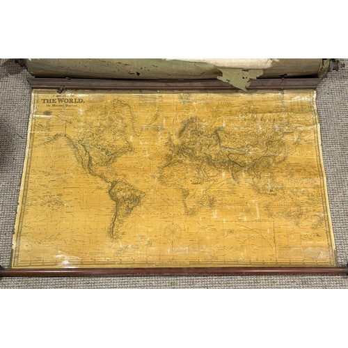
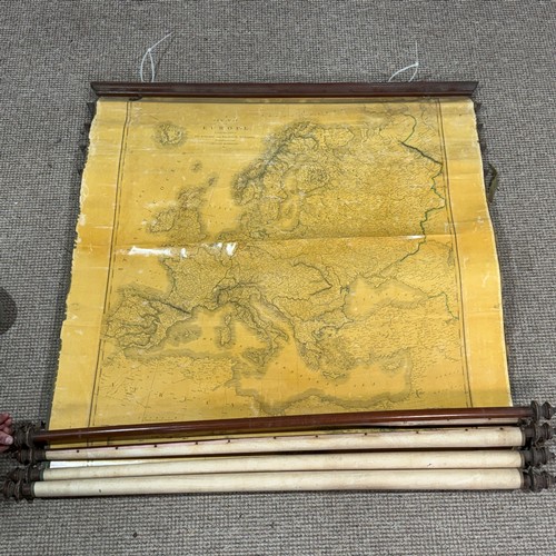
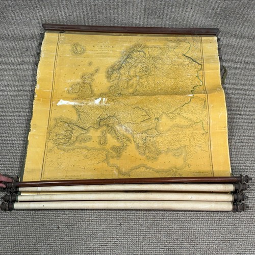
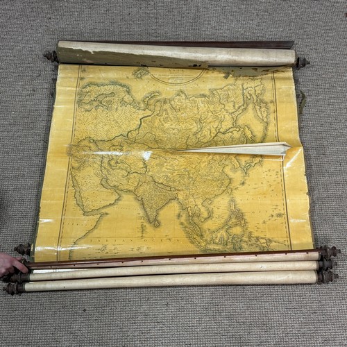
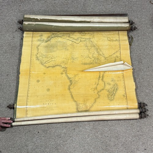
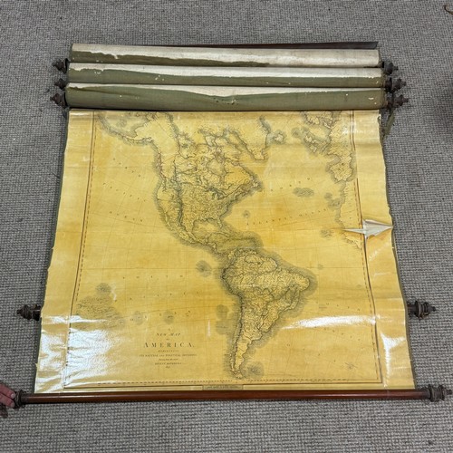
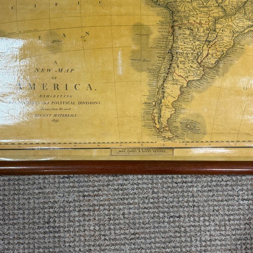
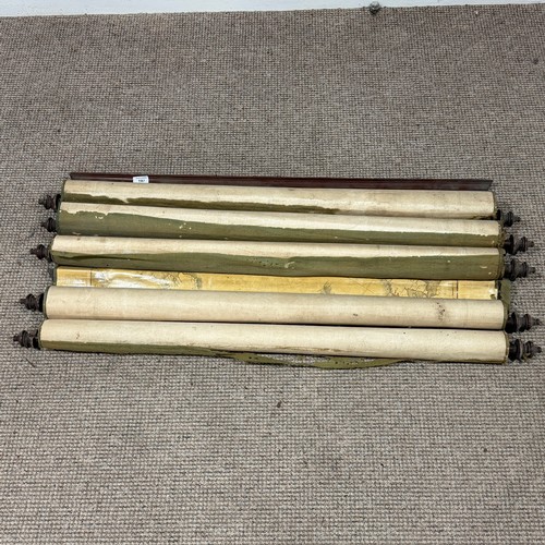
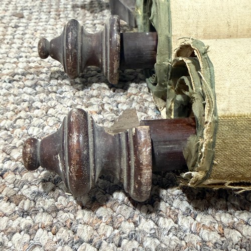
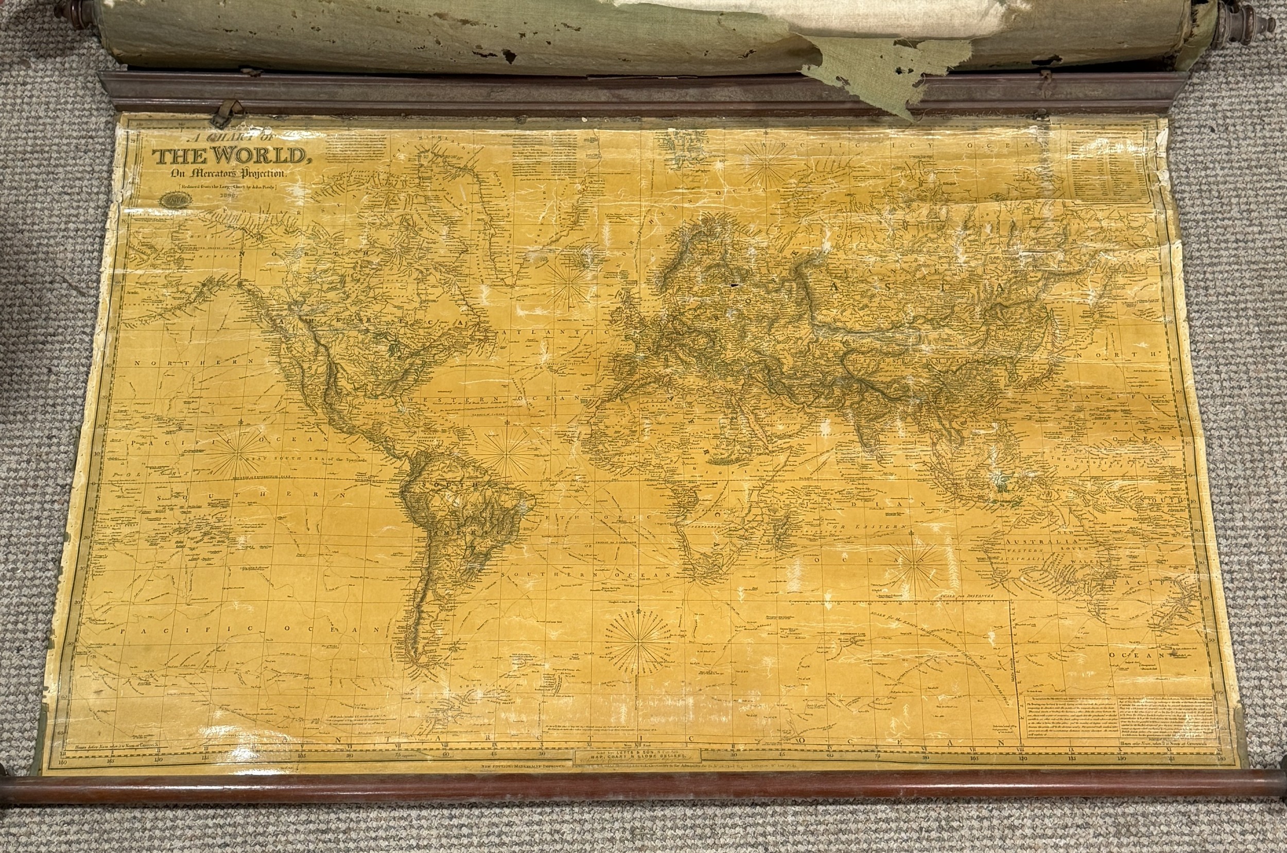
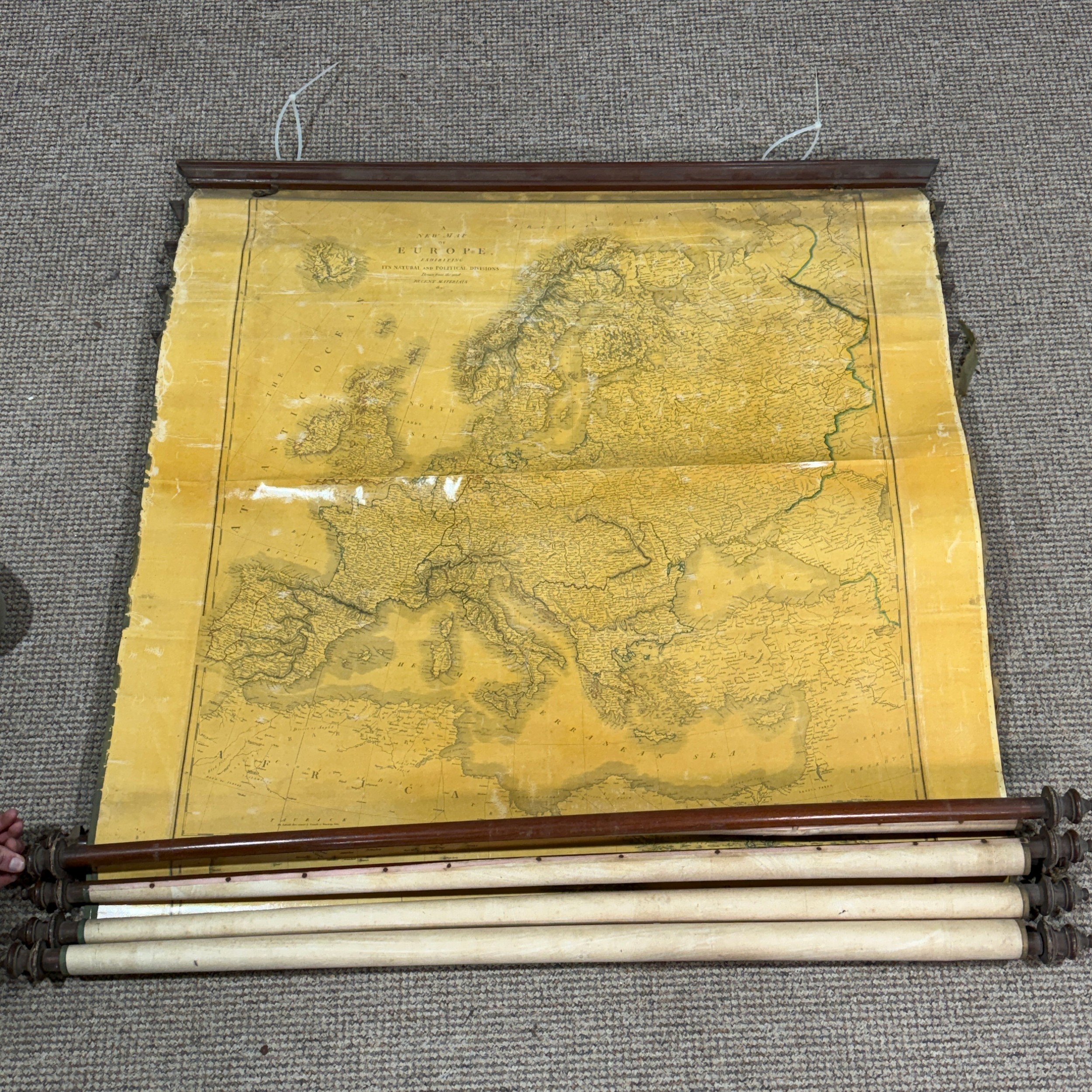
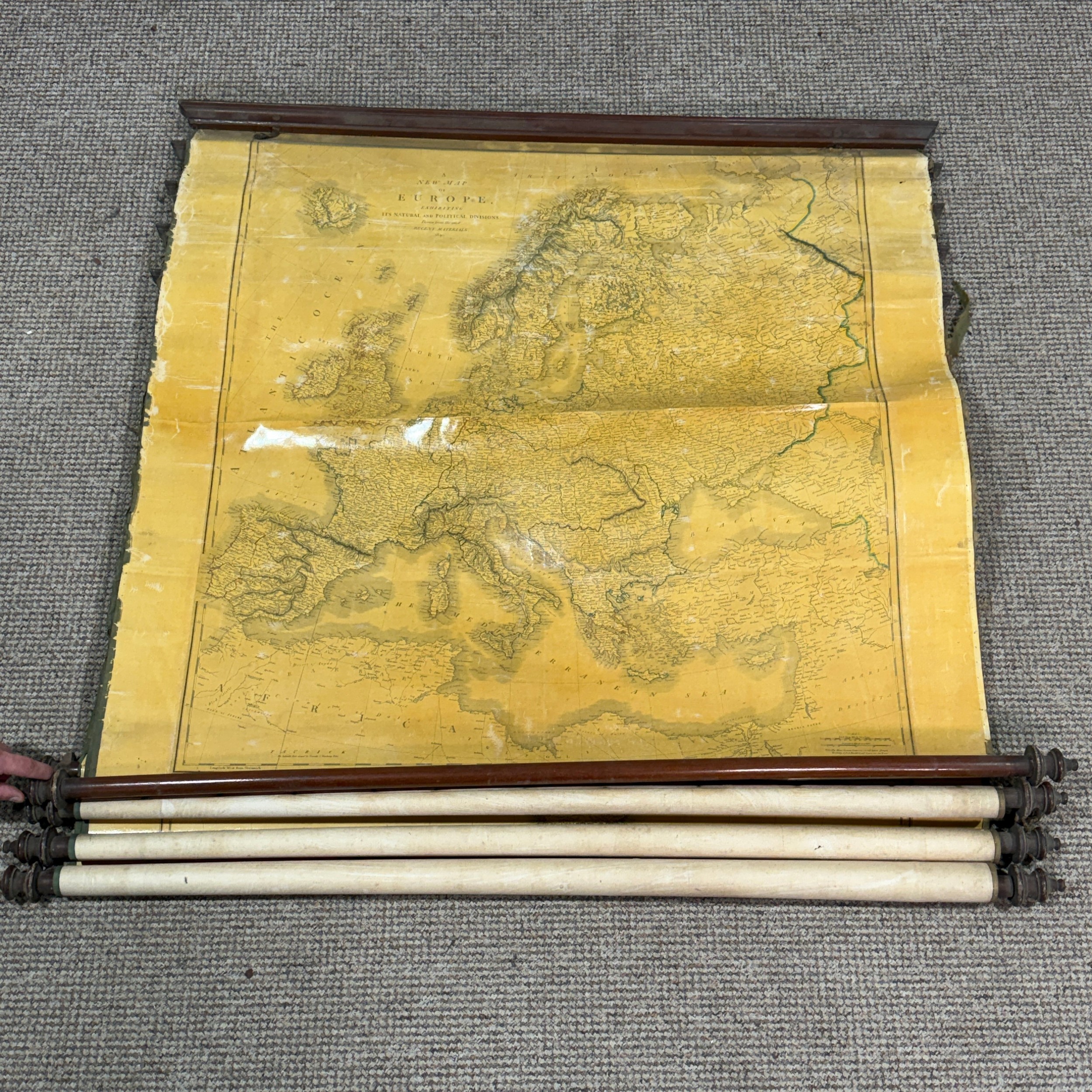
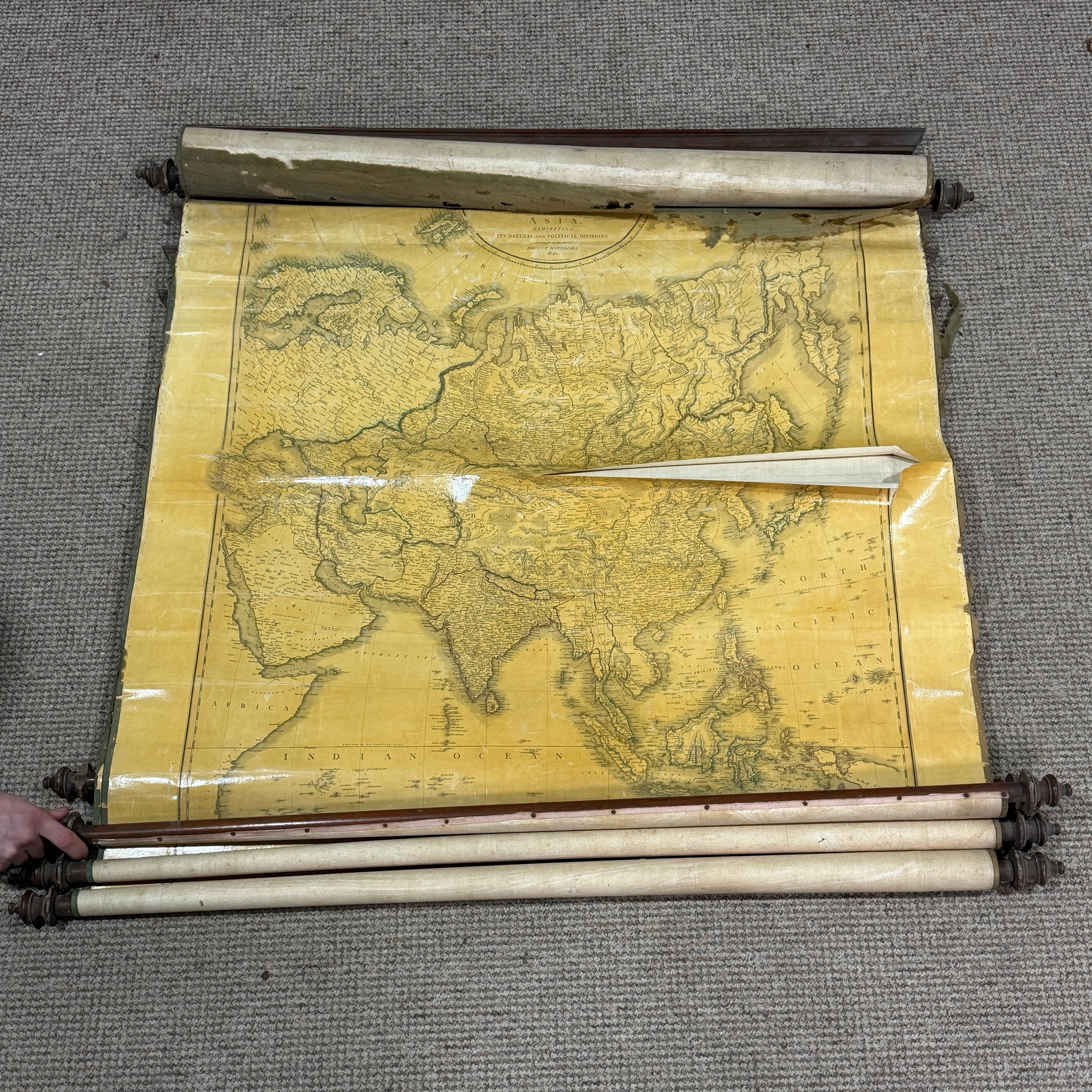
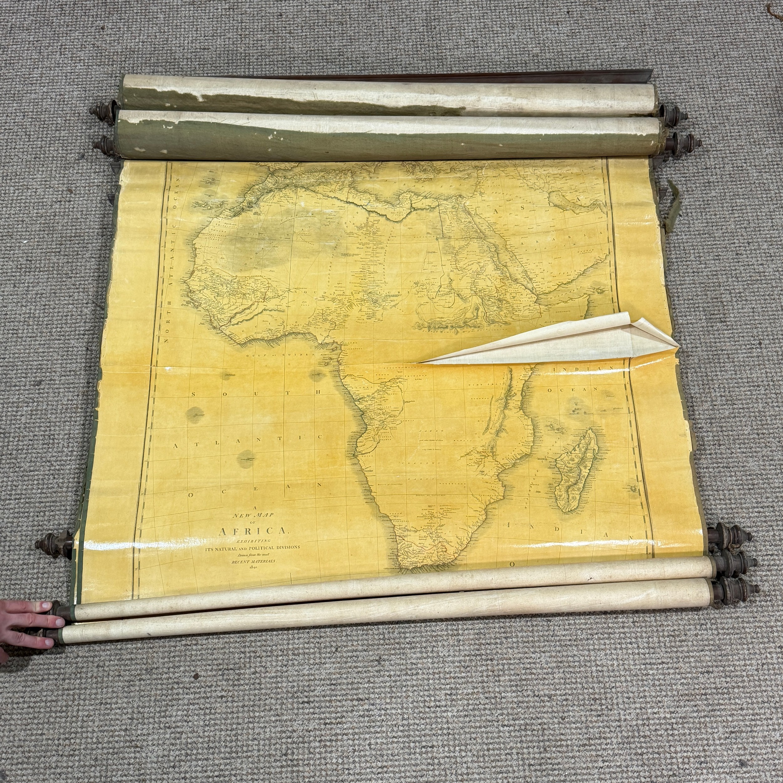
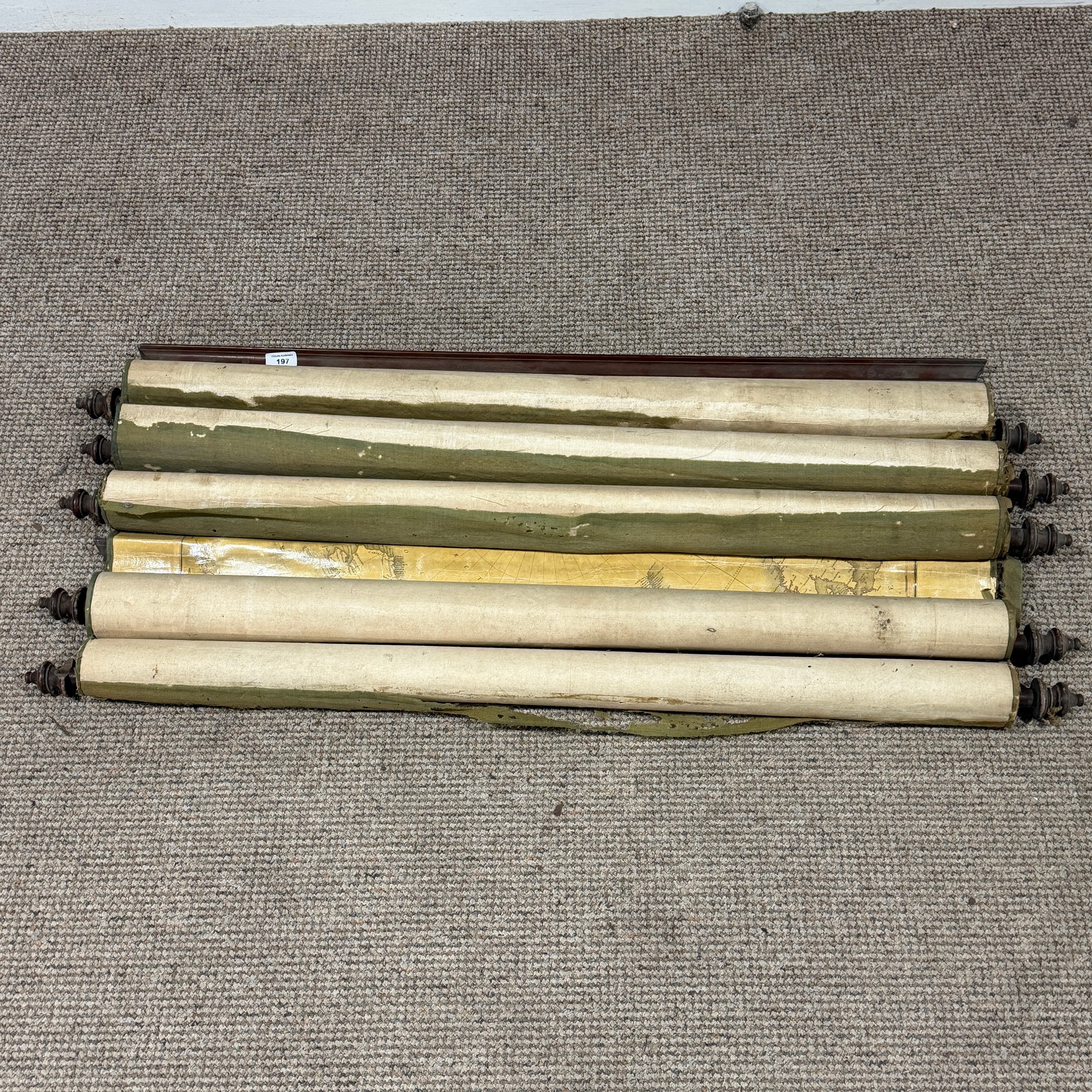
A Victorian five chart Educational Wall Map Scroll, comprising 'A Chart of the World on Mercator's projection', reduction by John Purdy, published by Richard Holmes Lawrie, 1839, and the four Continent charts by Cary; Africa 1840, America, 1836, noting California as a peninsula, Asia, 1840 and Europe, 1840, all suspended from wall fixing mounting board, each map approx. 85cm x 99cm with some variation, all linen mounted, as found in poor condition, please see images.
Fees apply to the hammer price:
Free Registration
33.6% inc VAT*
Flat Fee Registration
30.00% inc VAT*