€300
With Hand Coloured Maps
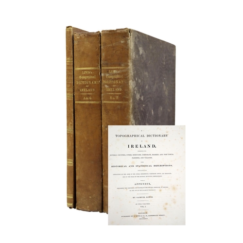
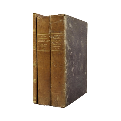
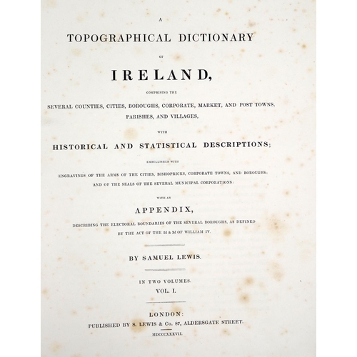
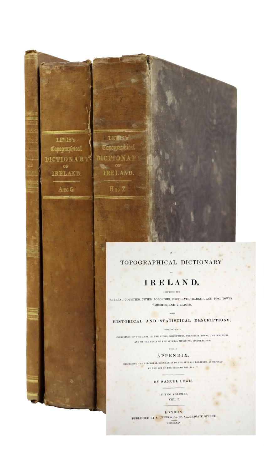
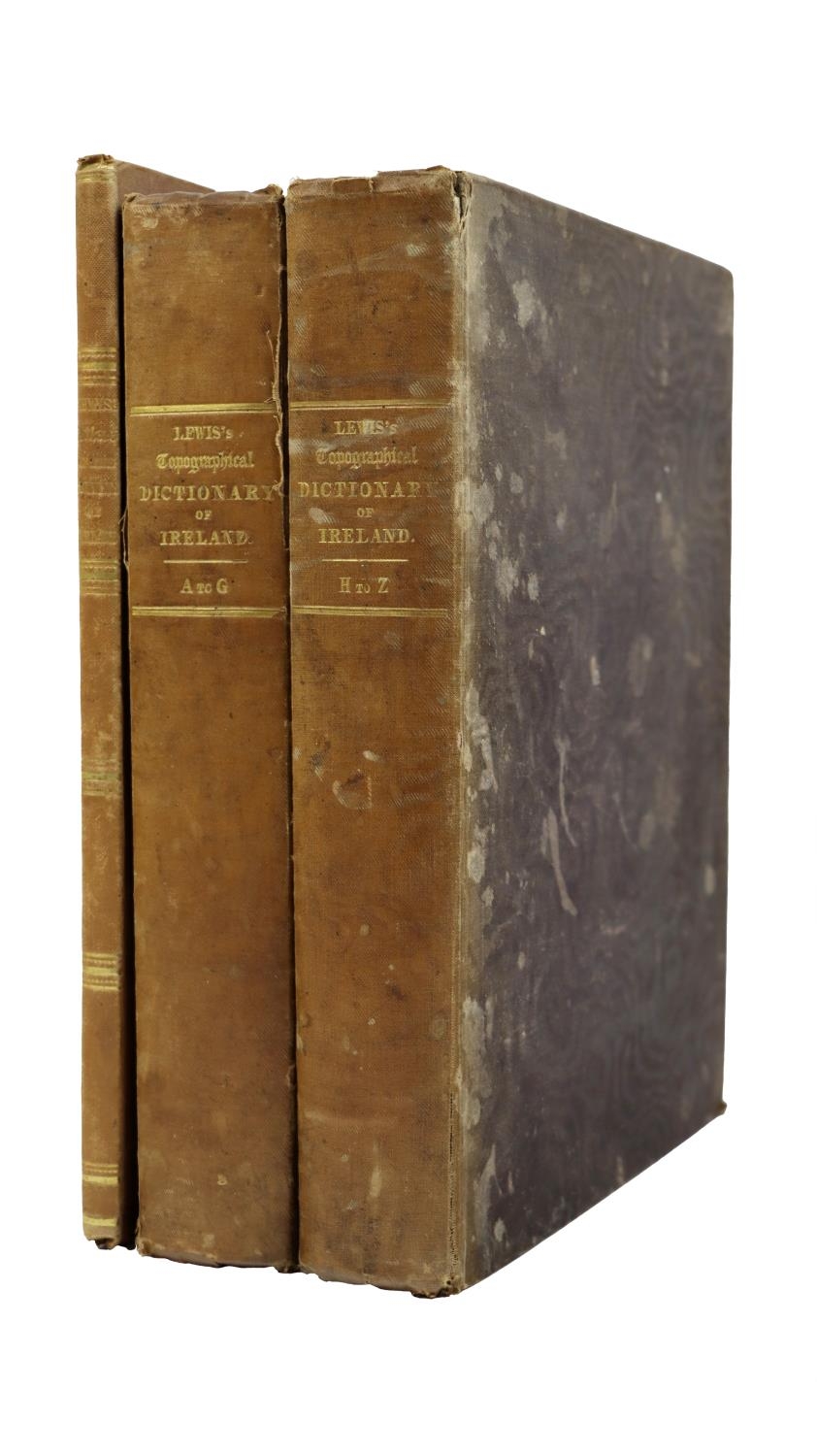
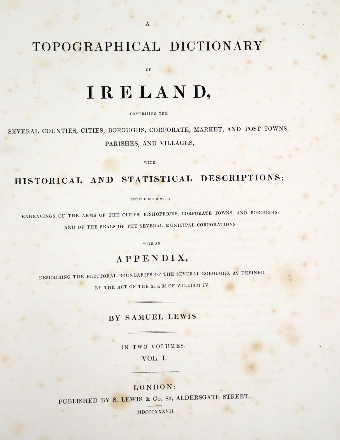
Lewis (Samuel) A Topographical Dictionary of Ireland, 2 vols. + Atlas. Together 3 vols. lg. folio Lond. 1837. First Edn., L.P. Copy, Atlas containing large fold. map of Ireland, & 32 County Maps, all hand coloured in outline, title to atlas supplied in photocopy, cont. cloth, one cover stained, otherwise clean set. (3)
Fees apply to the hammer price:
Free Registration
28.69% inc VAT*
Flat Fee Registration
25.00% inc VAT*