![535 - Maps. Bowles's New Four-Sheet Map of England and Wales [...], London: Printed for the Prop...](https://content.easyliveauction.com/auctions/images_lots/C2205E013154FFDC5CCDD9EE77F8F3DF_mel01/1100194559_PREVIEW.JPG)
![535 - Maps. Bowles's New Four-Sheet Map of England and Wales [...], London: Printed for the Prop...](https://content.easyliveauction.com/auctions/images_lots/C2205E013154FFDC5CCDD9EE77F8F3DF_mel01/1100194560_PREVIEW.JPG)
![535 - Maps. Bowles's New Four-Sheet Map of England and Wales [...], London: Printed for the Prop...](https://content.easyliveauction.com/auctions/images_lots/C2205E013154FFDC5CCDD9EE77F8F3DF_mel01/1100194561_PREVIEW.JPG)
![535 - Maps. Bowles's New Four-Sheet Map of England and Wales [...], London: Printed for the Prop...](https://content.easyliveauction.com/auctions/images_lots/C2205E013154FFDC5CCDD9EE77F8F3DF_mel01/1100194562_PREVIEW.JPG)
£60
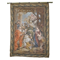
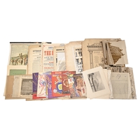
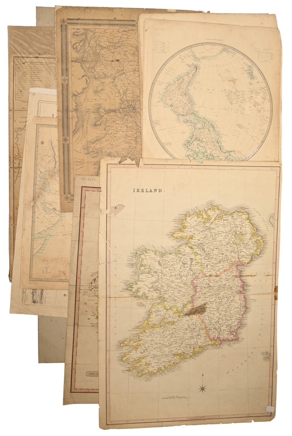
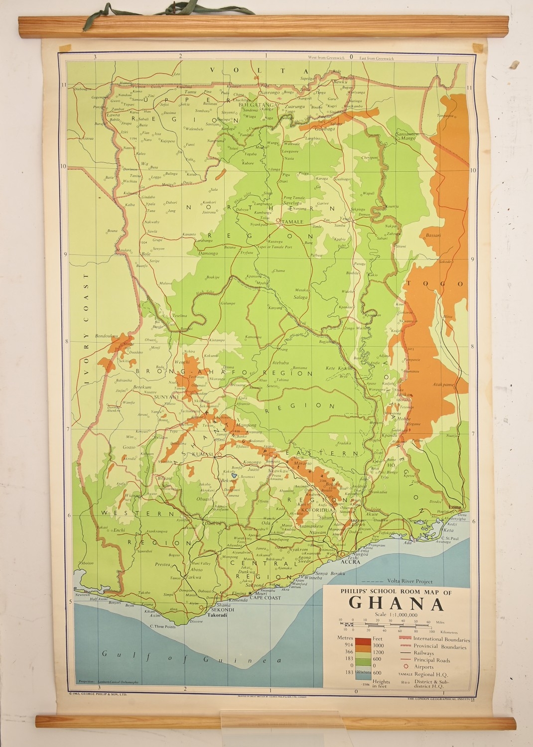
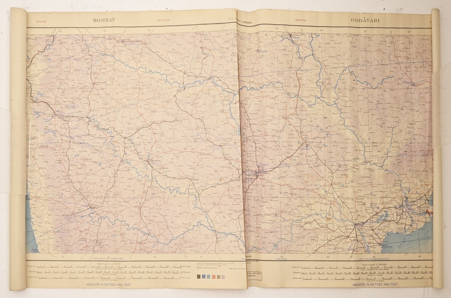
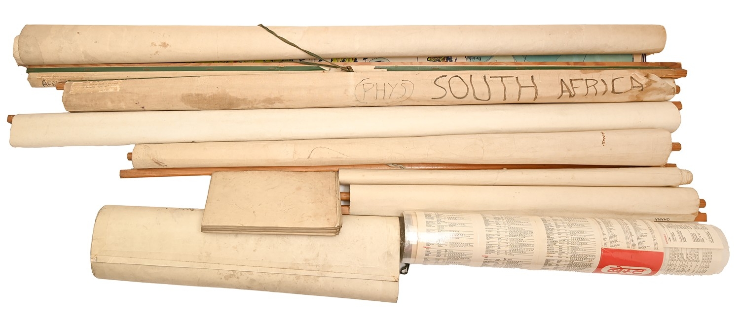
Maps. Bowles's New Four-Sheet Map of England and Wales [...], London: Printed for the Proprietors Bowles & Carver, n.d. [1810], engraving over 48 paper sheets, contemporary hand-colouring, laid on linen as issued, 132 x 140cm; five Philip's school wall roll-up maps, mid-20th c, including Ghana, the continent of Africa, Scandinavia, etc., waxed, on canvas, mixed sizes; a folio of loose maps, 18th-19th c, including Ireland, Leicestershire, Bradshaw's railway map, road map, Western Hemisphere, some ex-lib &/or conserved, mixed process prints and sizes
Fees apply to the hammer price:
Free Registration
27.6% inc VAT*
Flat Fee Registration
24.00% inc VAT*