

£260
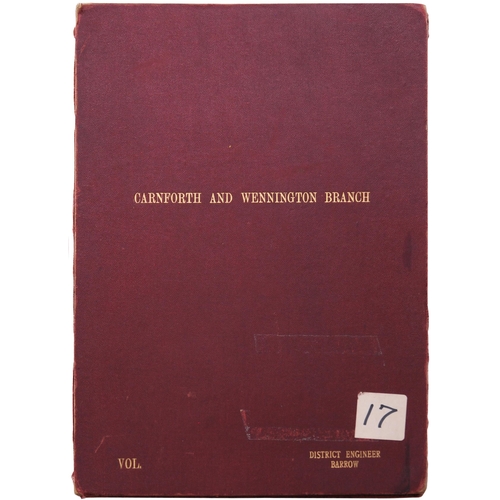
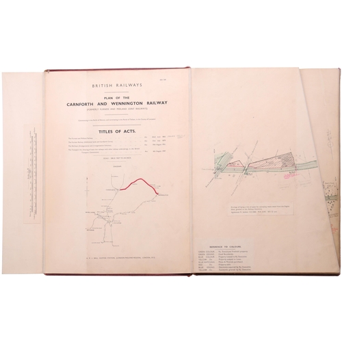
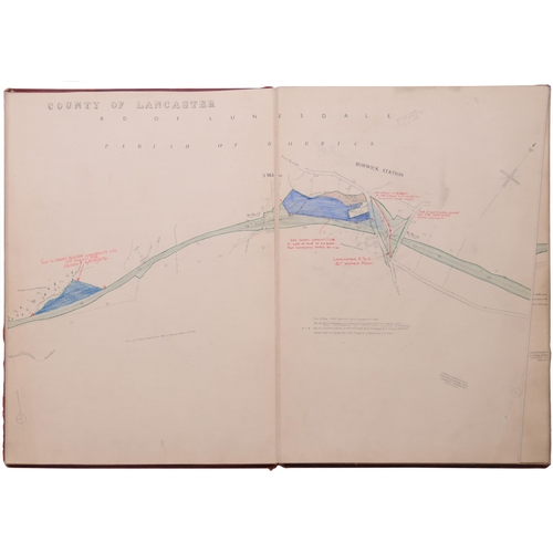
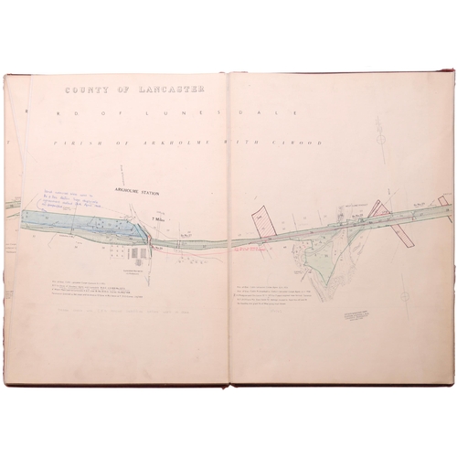
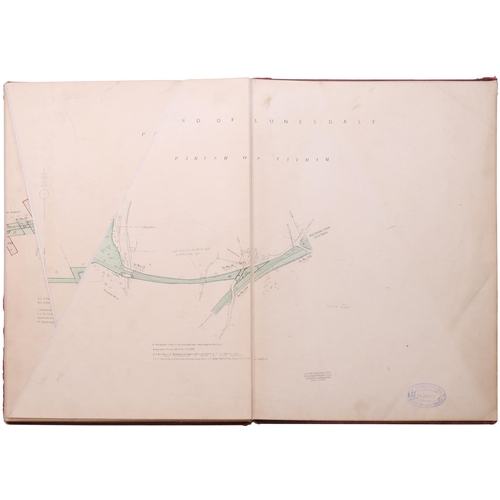
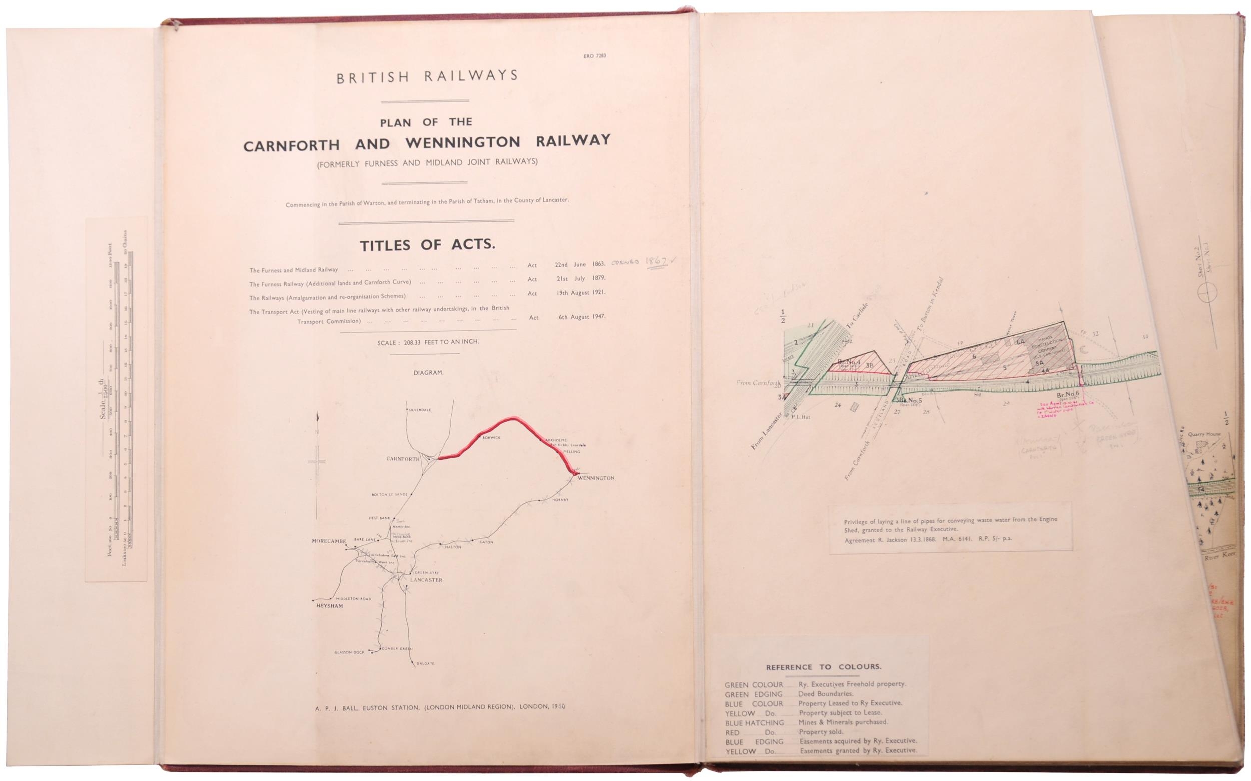
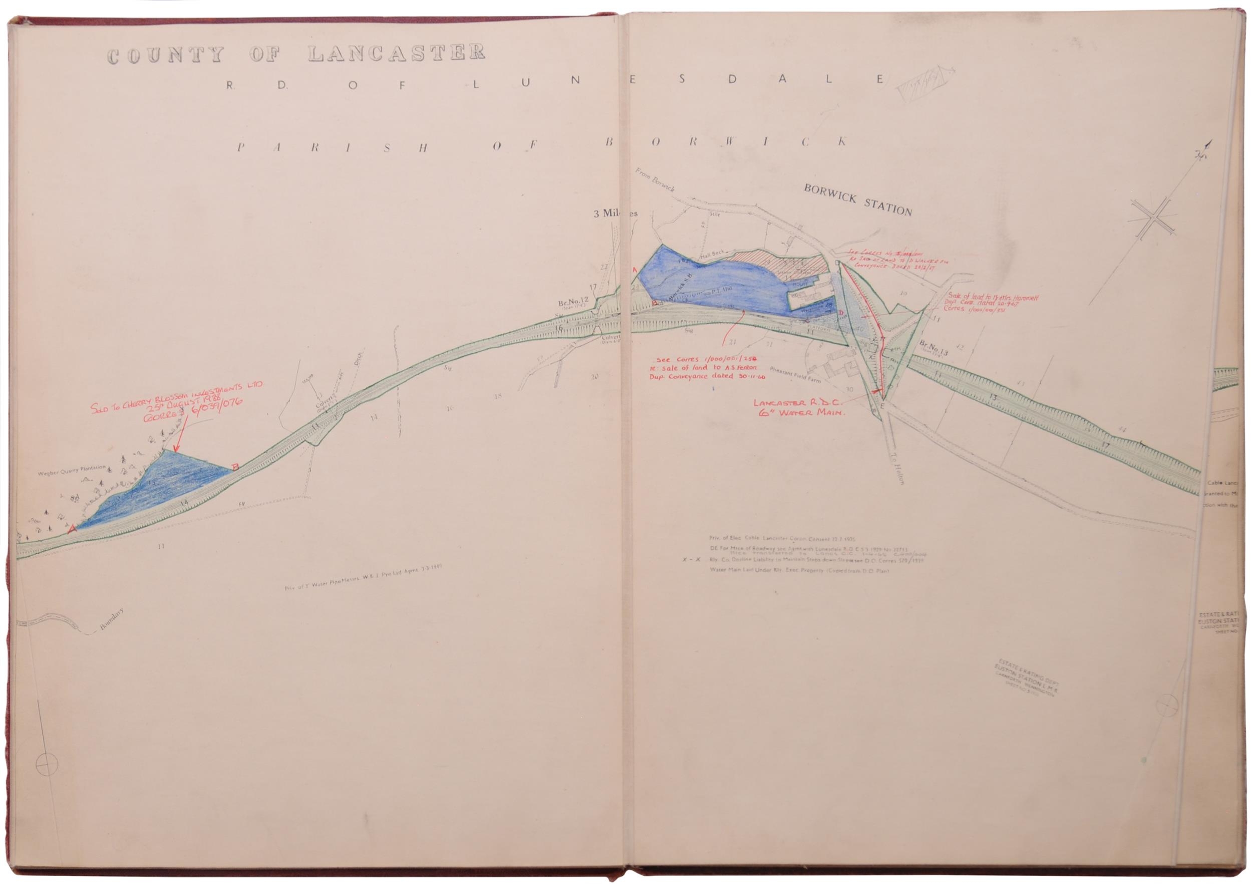
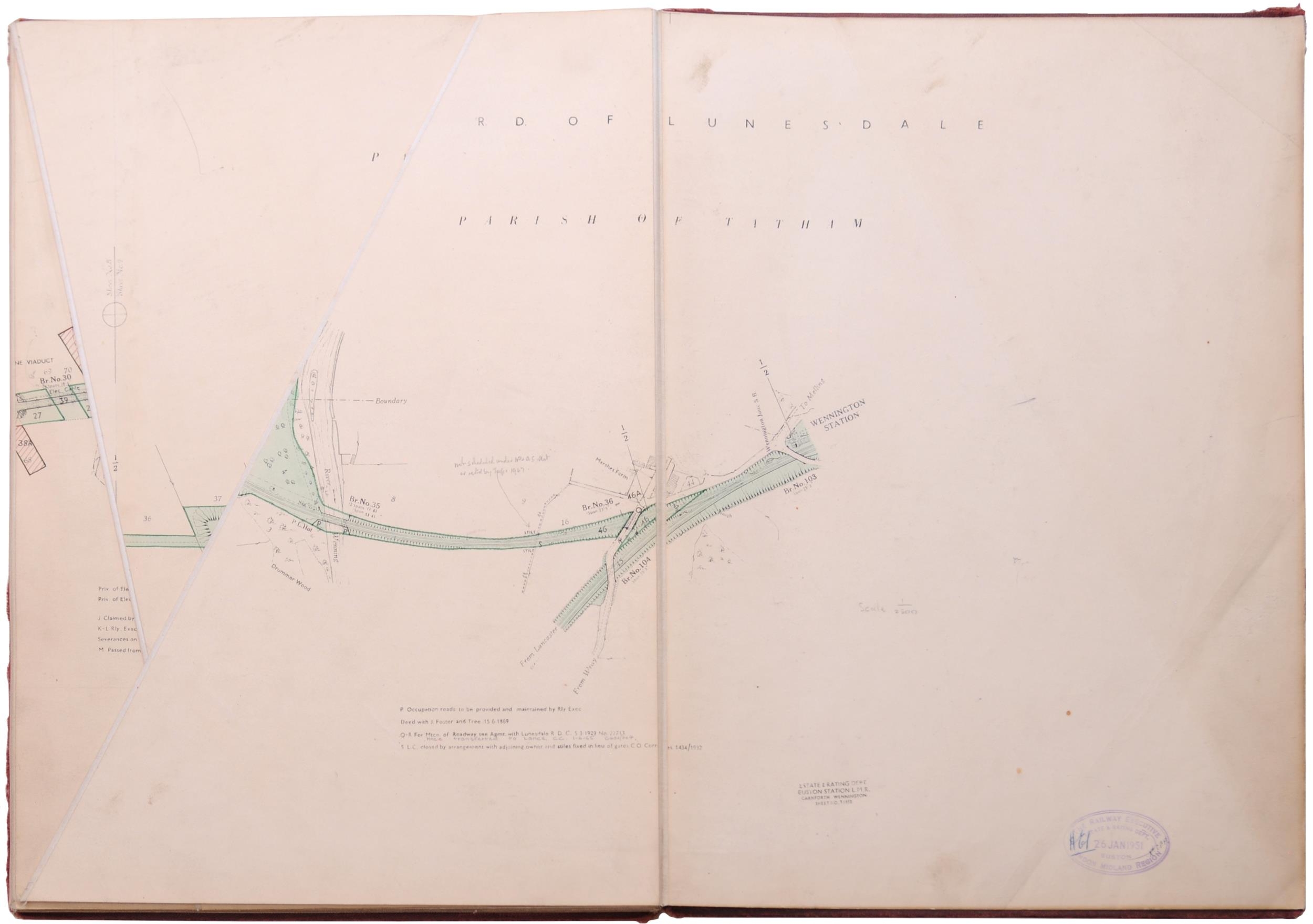
A set of Furness and Midland coloured plans, CARNFORTH AND WENNINGTON BRANCH, BR 1950, SURVEY, showing the route from just east of Carnforth, Borwick, Arkholme, Melling to the junction at Wennington. These plans are known as Terrier Maps and show great detail, land acquisitions and disposals, etc. Gilt titled board covers, 12"x18½", scale 208.33 feet = 1". (Postage Band: C)
Fees apply to the hammer price:
Free Registration
21.6% inc VAT*
Flat Fee Registration
18.00% inc VAT*

