£170
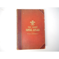
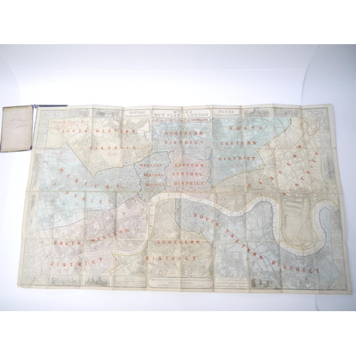
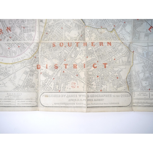
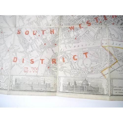
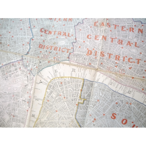
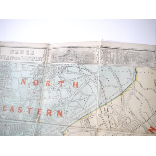
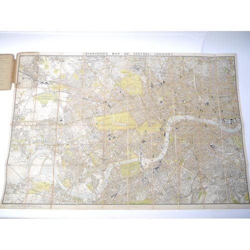
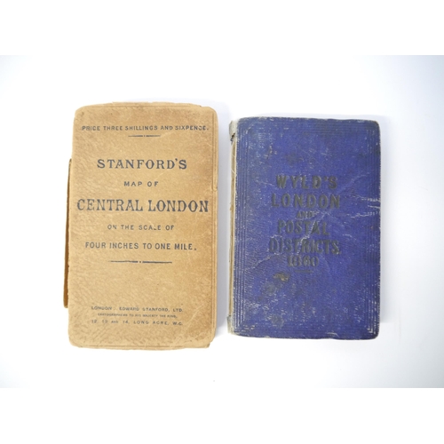
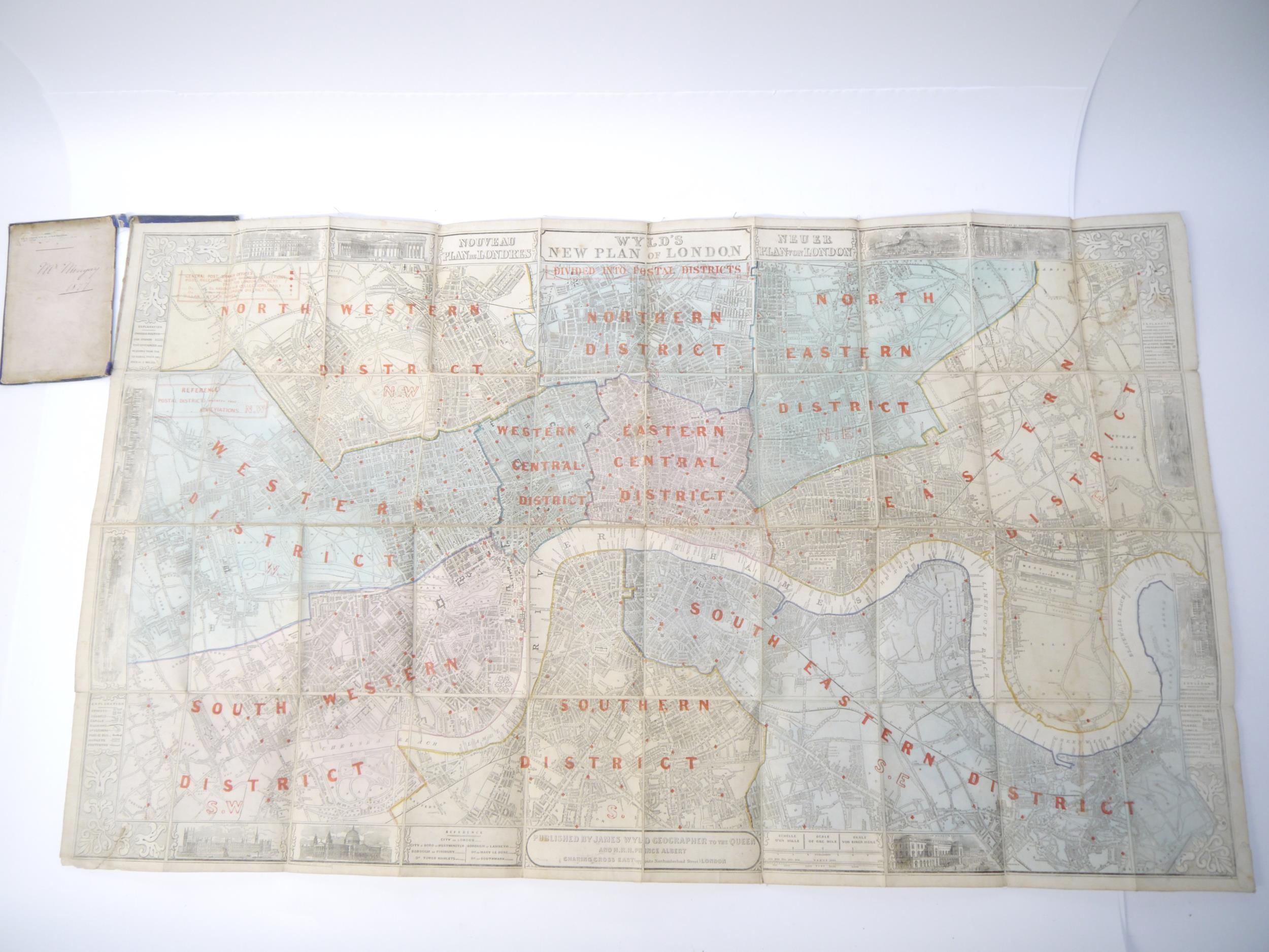
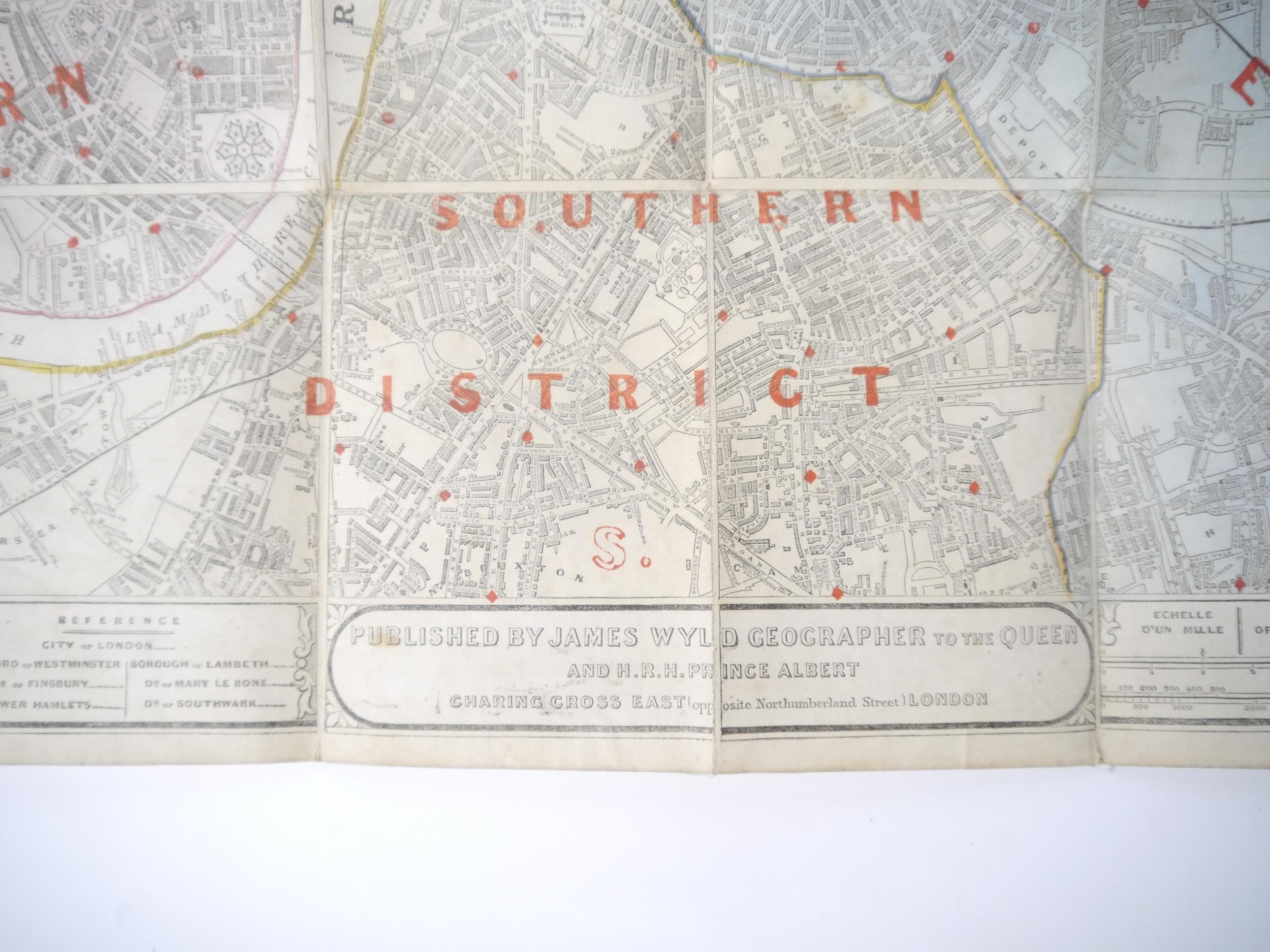
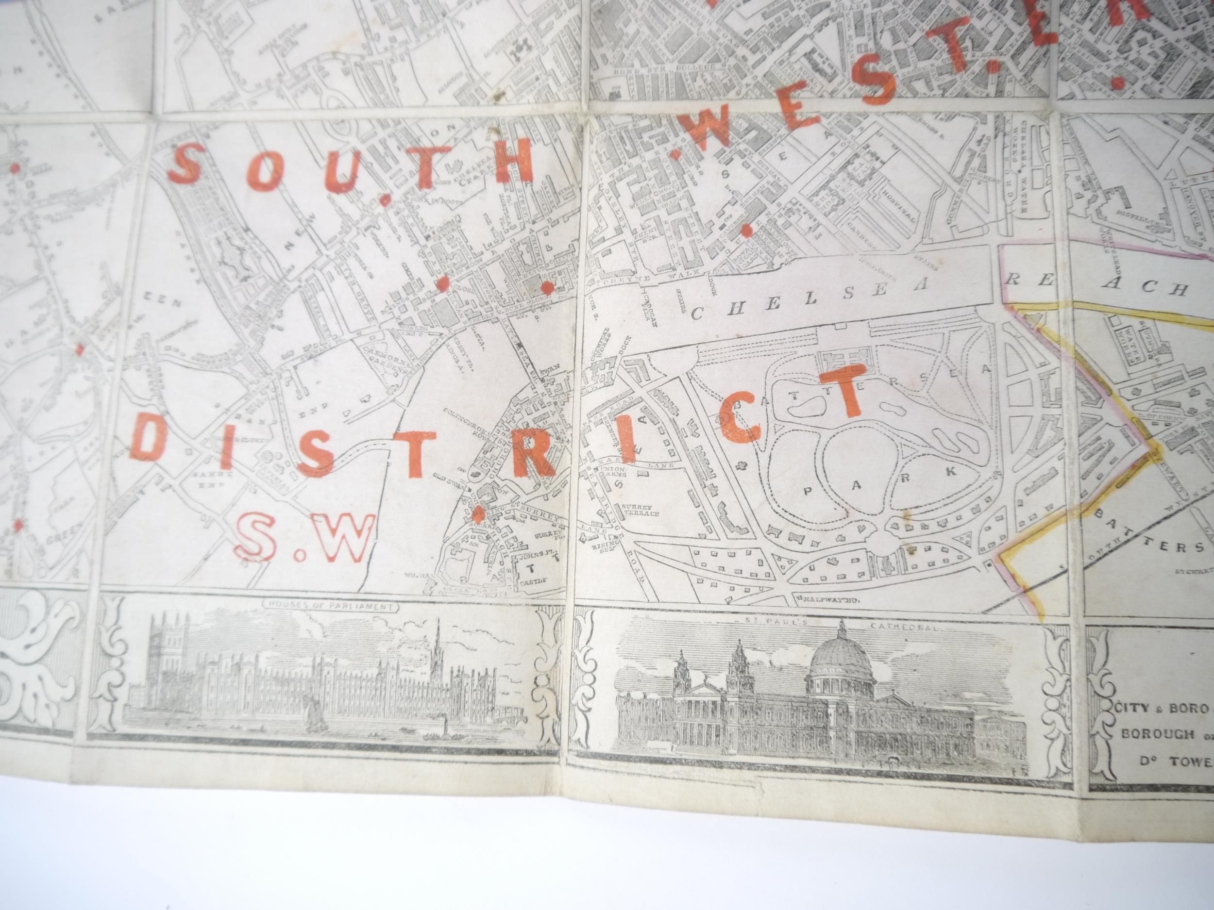
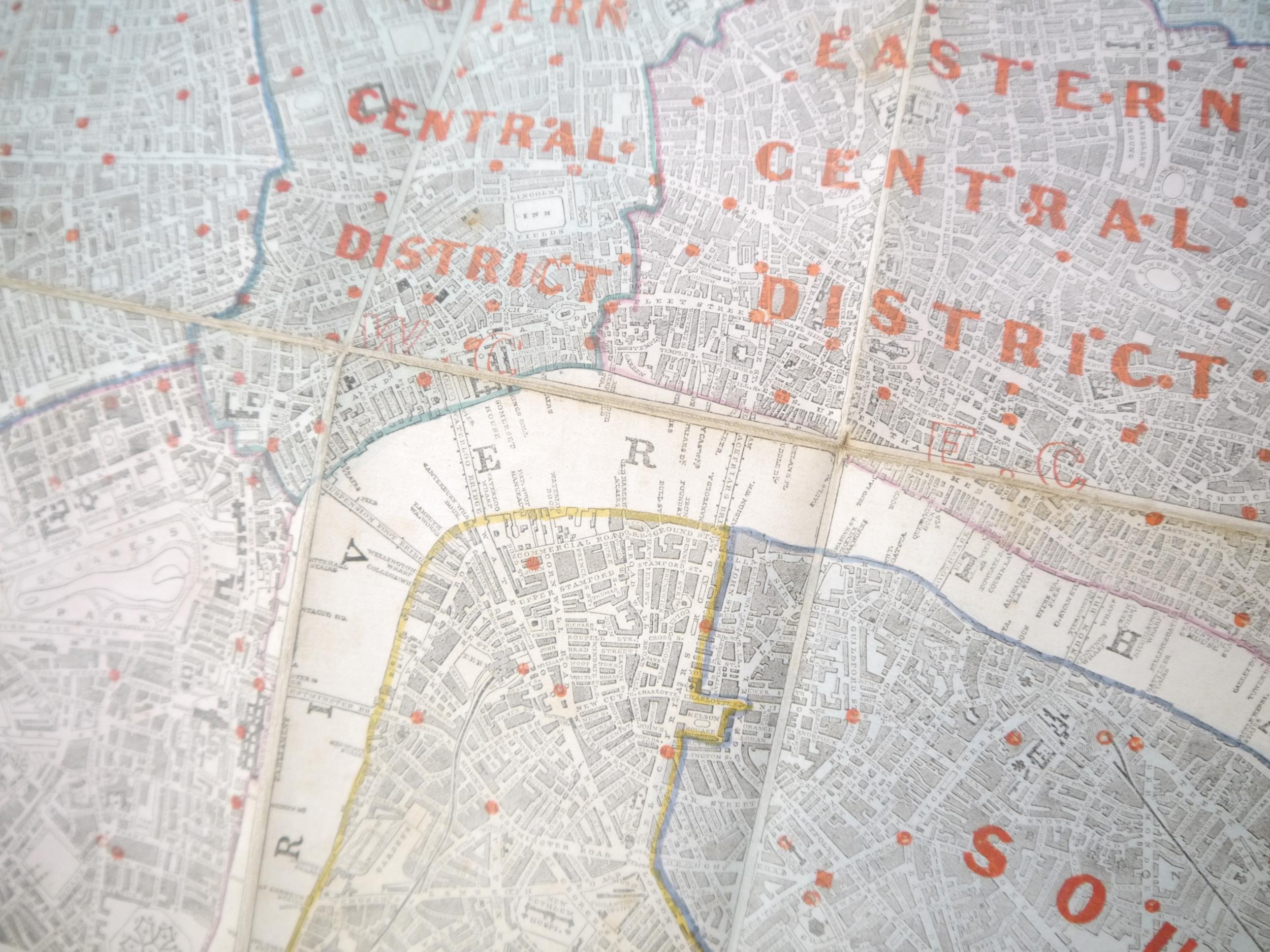
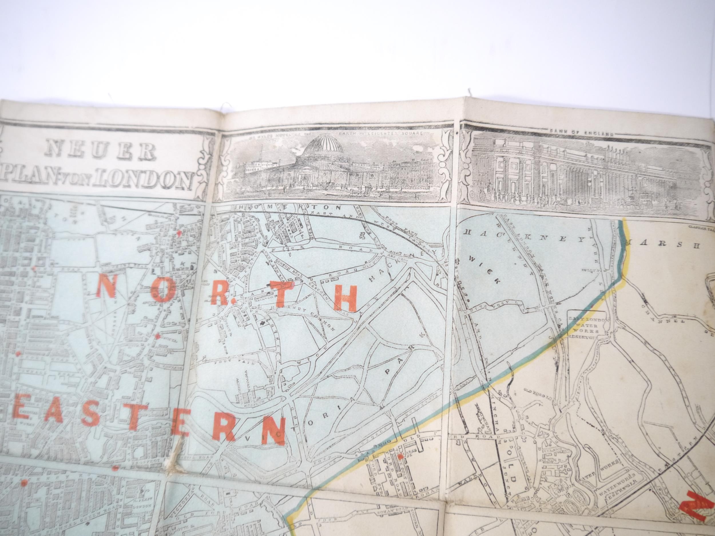
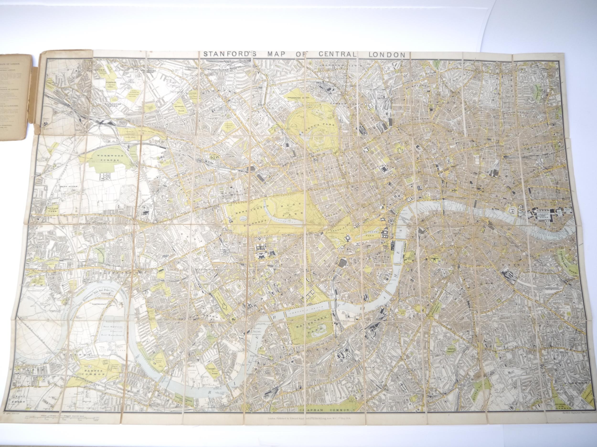
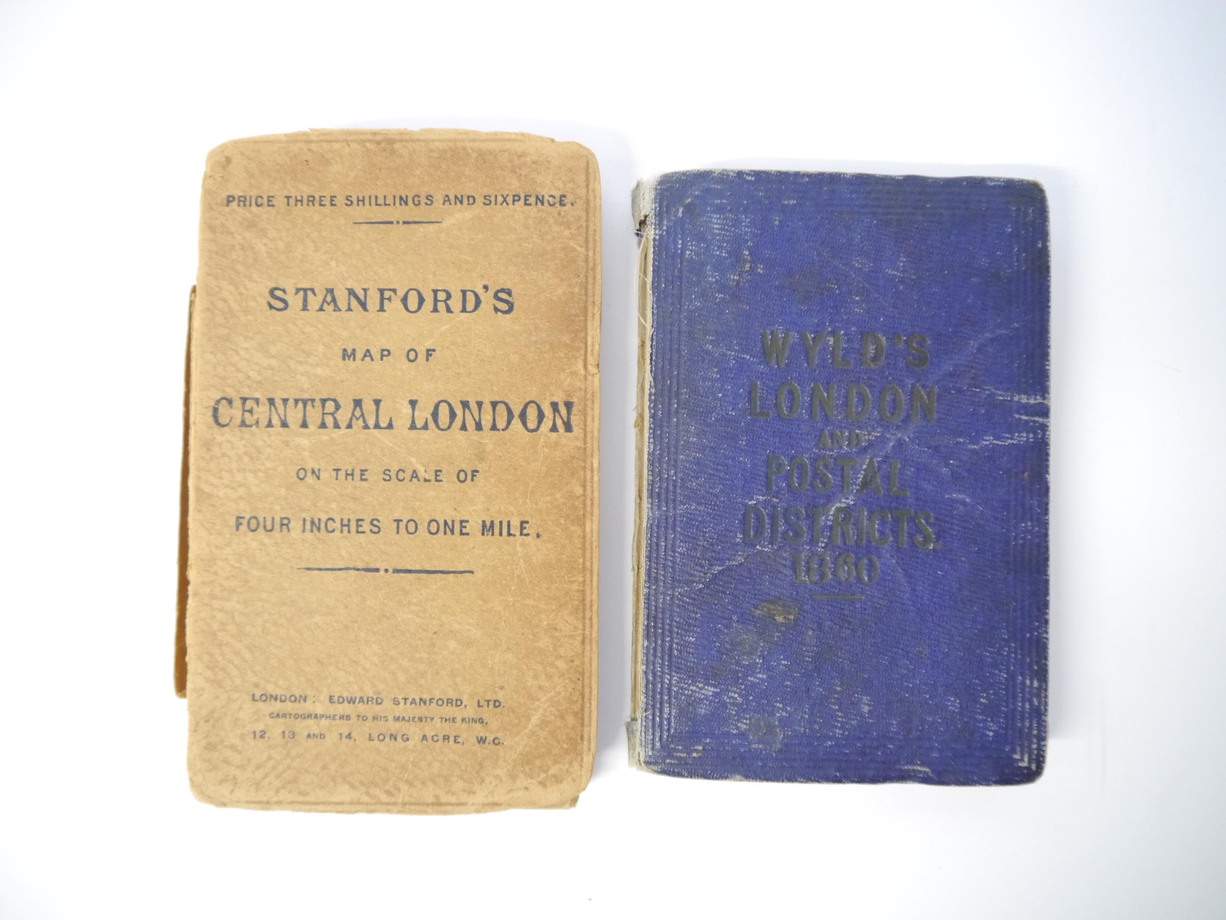
James Wyld: 'Wyld's New Plan of London 1860', engraved folding map of London, linen-backed, in 40 sections, with Post Office districts over-printed, 57 X 94 cms, folding into original cloth over boards (worn, lacking spine); together with Stanford's Map of Central London. Published 1st of May, 1914, folding map, colour-printed, linen-backed, in 40 sections, 67 x 99 cms, folding into original printed boards (upper board detached, spine worn) (2)
Fees apply to the hammer price:
Free Registration
21.6% inc VAT*
Flat Fee Registration
18.00% inc VAT*