£85
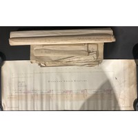
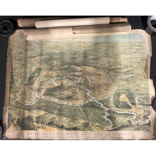
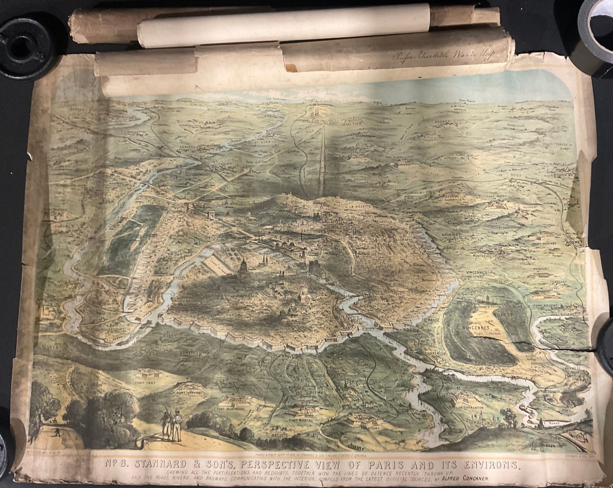
Cartography, historical maps – Stannard’s perspective View of Paris and its Environs, 1870, colour lithographic elevated panorama, engraved Alfred Concanen (1835-1886), illustrating the Franco-Prussian War of 1870 and the subsequent siege of Paris, showing the fortifications, some horizontal tears to east edge; Jankowski’s lithographic map illustrating the course of the Russo-Turkish war of 1877, 52cm wide; Lloyd’s map of Palestine and Syria (tour)19th century, with several traced copies; (qty)
Fees apply to the hammer price:
Free Registration
33.3% inc VAT*
Flat Fee Registration
29.70% inc VAT*