£100
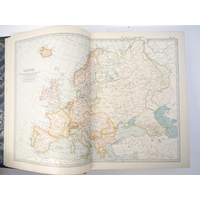
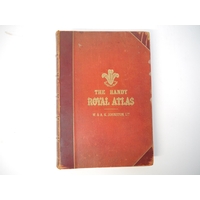
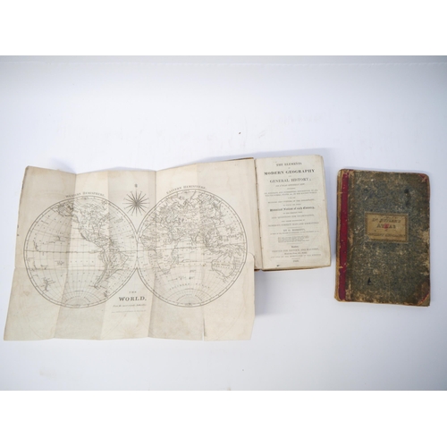
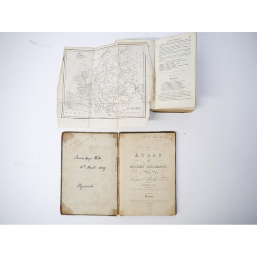
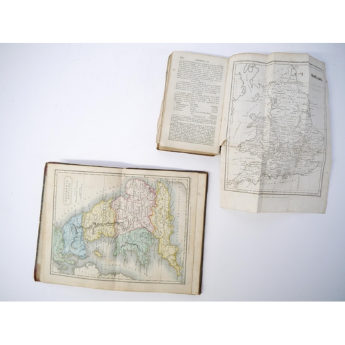
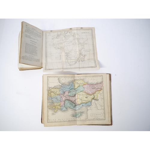
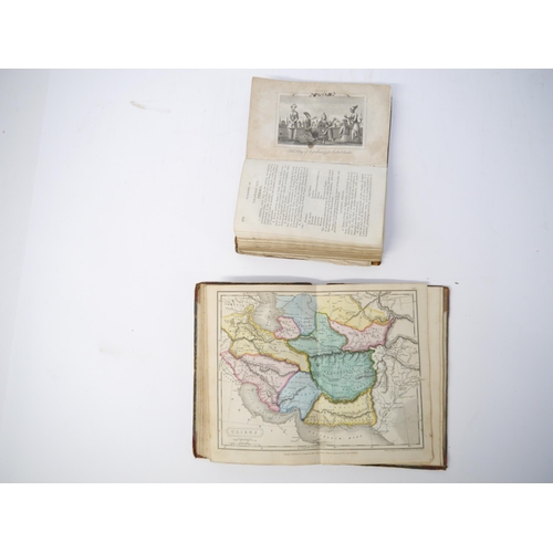
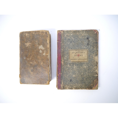
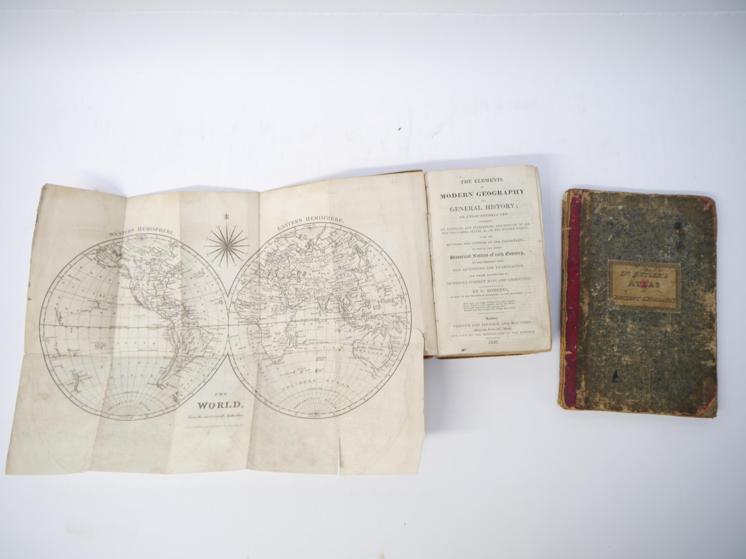
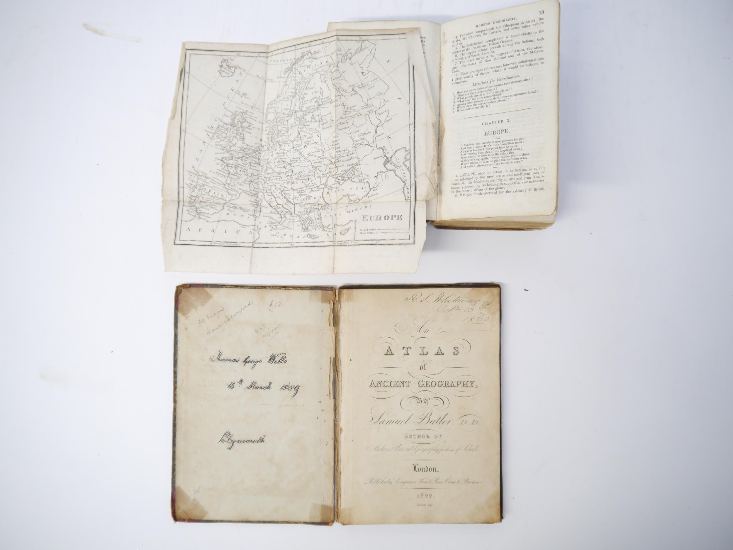
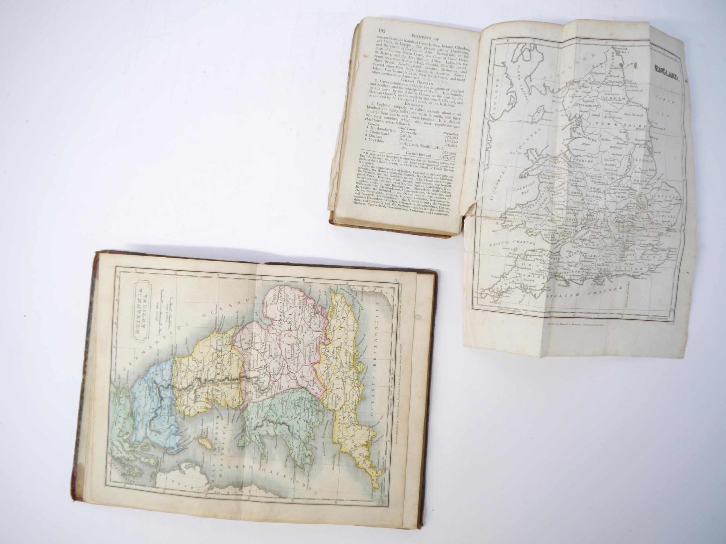
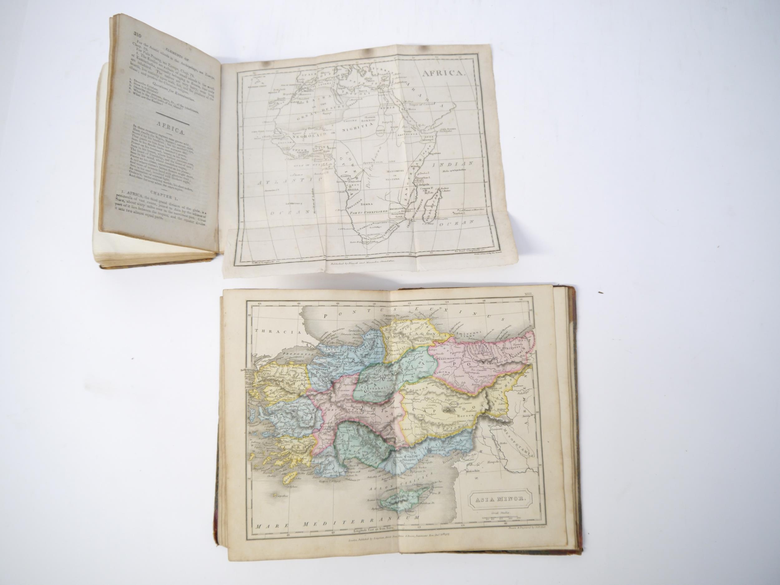
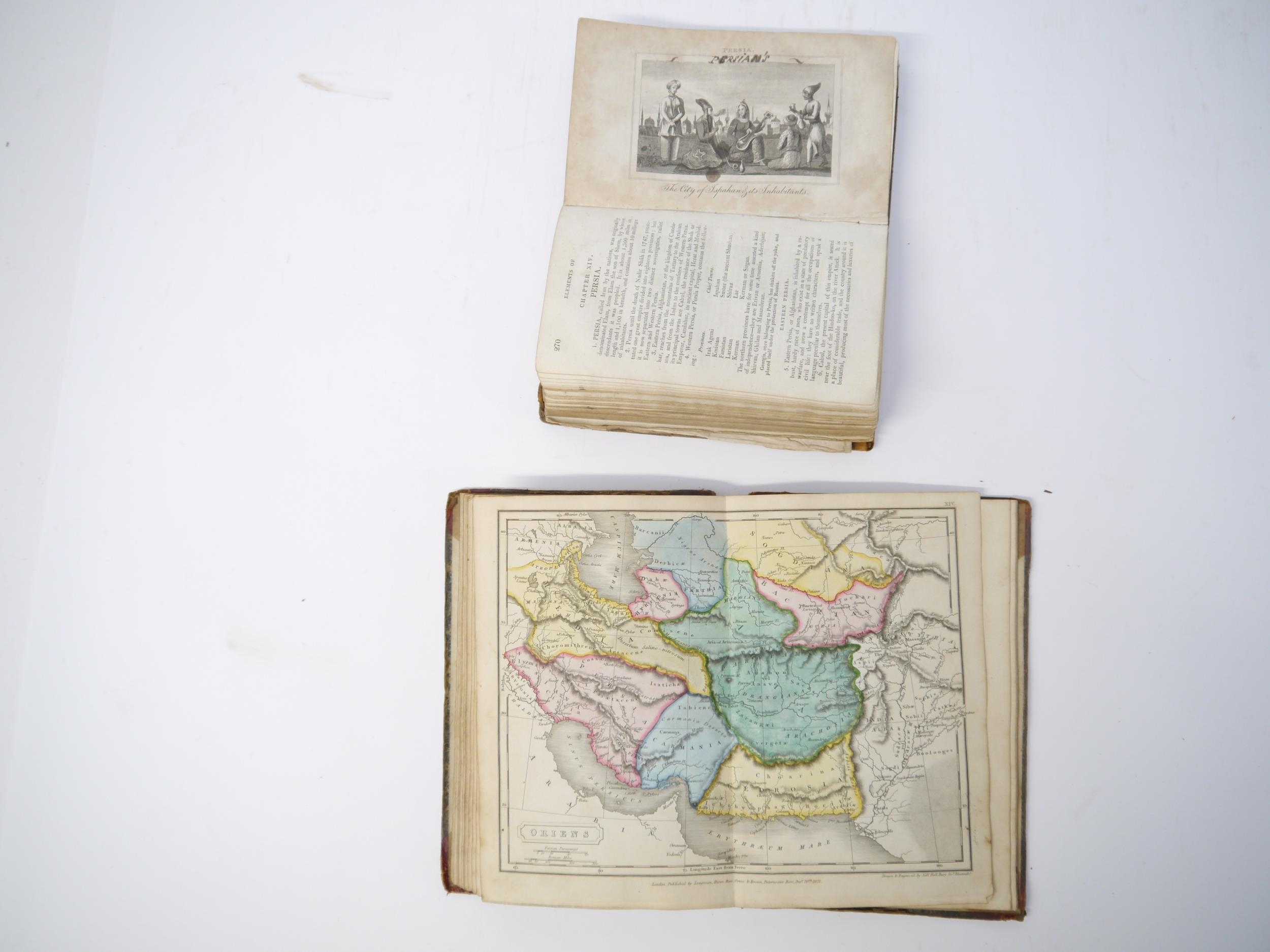
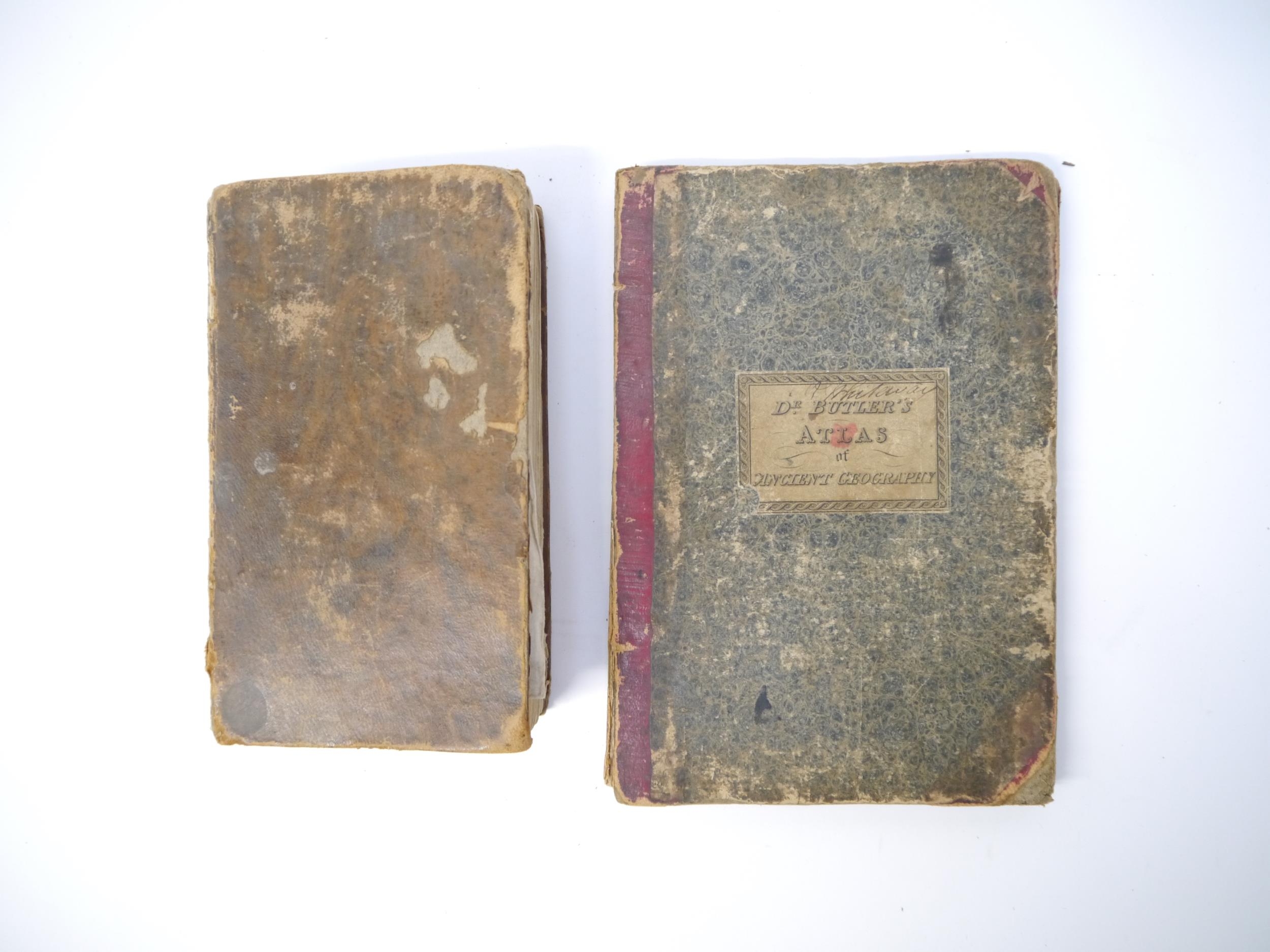
(Atlases, 19th Century Juvenile Education), George Roberts: 'The Elements of Modern Geography and General History; on a plan entirely new: Containing an Accurate and Interesting Description of all the Countries, States, &c, in the Known World; with the Manners and Customs of the Inhabitants; to which are added Historical Notices of each Country to the present time, and questions for examination. The whole illustrated by numerous correct maps and engravings.', London, Pinnock & Maunder, 1820, 1st edition, engraved folding double hemisphere world map frontis + 8 folding maps + 11 (of 12) engraved views of world cities and costume plates (lacks plate facing p.250) + 4 engraved plates at end on the construction of maps, xii,435,[1]pp, engraved views and costume plates with contemporary m/s captions in pen & ink to margins, contemporary calf (worn), later printed label to spine. An extremely scarce first printing, likely owing to heavy use due to its success as a school text book; together with Samuel Butler: 'An Atlas of Ancient Geography', London, Longman et al, 1822, copper engraved title page, index + 20 double page engraved maps (all with contemporary hand colouring except plate XX, plans of Rome, Rome & environs, Athens & Syracuse), maps/plates with contemporary manuscript titles/notes to reverse of each, original half roan over marbled paper covered boards (worn), printed paper label to front cover (2)
Fees apply to the hammer price:
Free Registration
21.6% inc VAT*
Flat Fee Registration
18.00% inc VAT*