£100 - £150
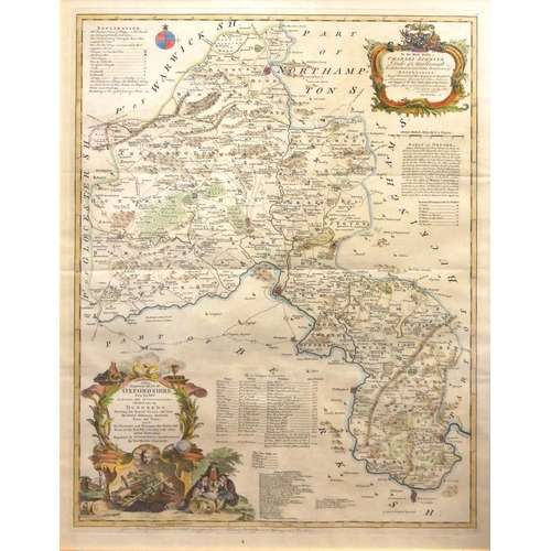
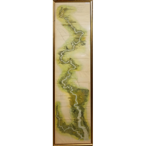
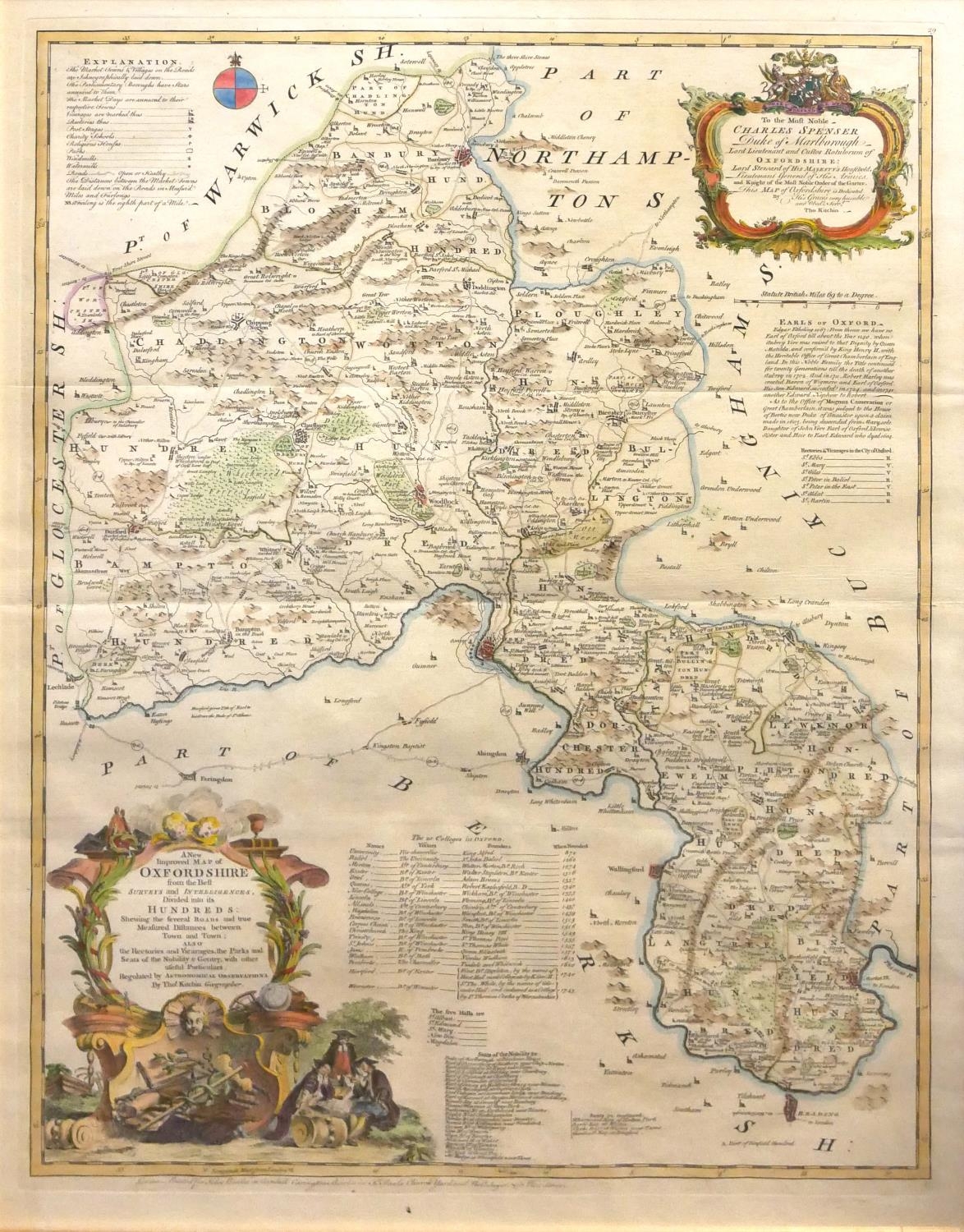
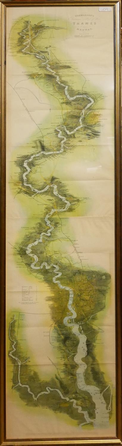
‘A NEW AND IMPROVED MAP OF OXFORDSHIRE’, THOMAS KITCHIN, 18TH CENTURY COLOURED MAP ENGRAVING
Illustrated with cartouche panels, scholars and cherubs, published by John Bowles in
Cornhill Carrington Bowles in St. Pauls Church Yard, C1759, sold together with another map of the Thames and Medway, both framed and glazed.
(Thomas Kitchin map measurements 53cm x 73cm/frame 63cm x 83cm)
Fees apply to the hammer price:
Free Registration
27.6% inc VAT*
Flat Fee Registration
24.00% inc VAT*