

€180
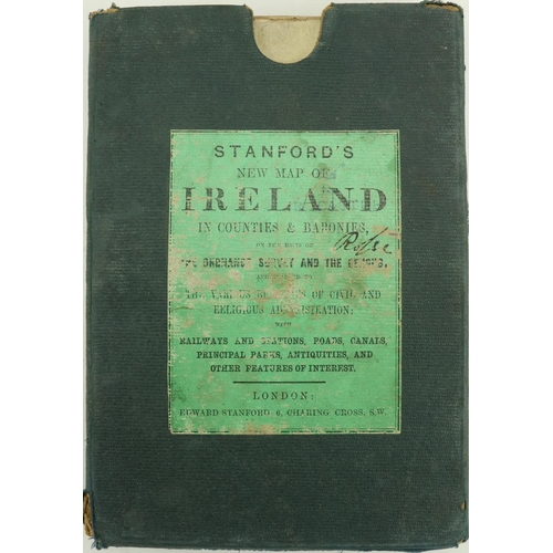
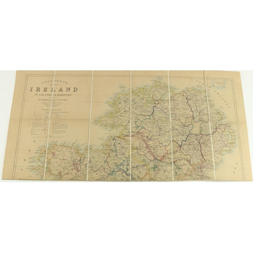
Map: Stanford (Ed.) New Map of Ireland in Counties and Baronies, on the basis of The Ordnance Survey & The Census... Lg. fold. hand coloured linen backed map, fold. 8vo, Lond. n.d. c. 1860, approx. 99.5cms x 79cms (39" x 31"), in orig. cloth slipcase. Both inscribed 'Rosse.' As a map, w.a.f. (1)
Provenance: Birr Castle Estate.
Fees apply to the hammer price:
Free Registration
28.69% inc VAT*
Flat Fee Registration
25.00% inc VAT*