£35
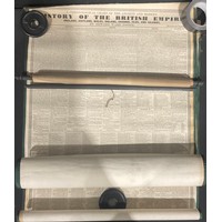
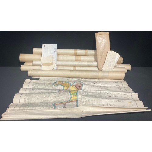
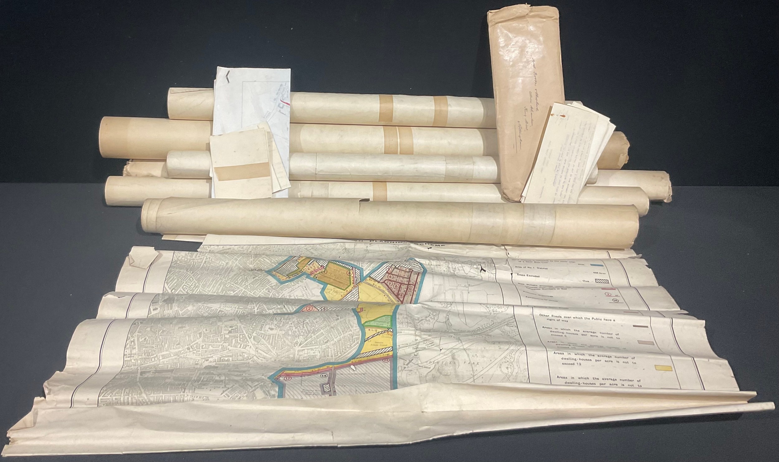
Cartography & Town Planning – An incomplete set of maps of Nottingham drawn up to illustrate the Corporation’s Draft Town Planning Scheme 1931 under T. Wallis Gordon, City Engineer 9in : 1 mile, District I map 2, District 2 Map 2 District 3 Map 2 (two copies), District 4 Map 2 District 5 Map 2 also Map No. 3 (no district named) (Qty); a road widening map of part of Cotgrave dated 1936 with accompanying letter from Nottingham County Council giving notice to the Home Pierrepont estate; further correspondence concerning the same and a large plan 49 x 21in. similar to the above (qty)
Fees apply to the hammer price:
Free Registration
33.3% inc VAT*
Flat Fee Registration
29.70% inc VAT*