


£300 - £500
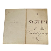
AN EARLY 19TH CENTURY HAND WRITTEN AND ILLUSTRATED SURVEYING MANUSCRIPT
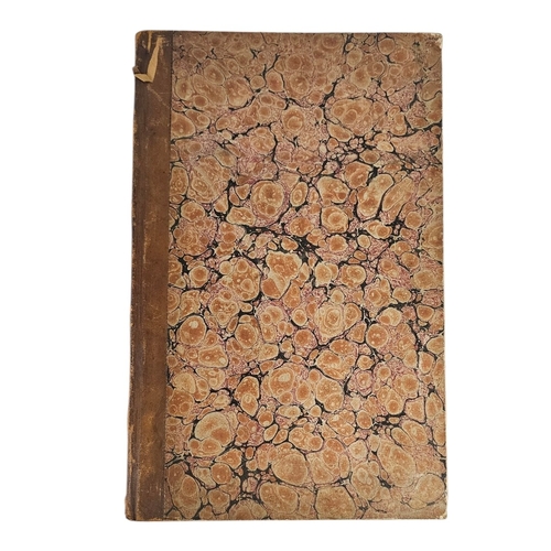
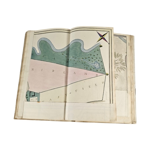
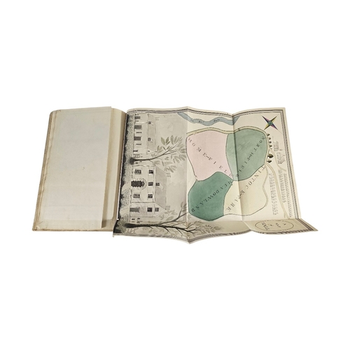
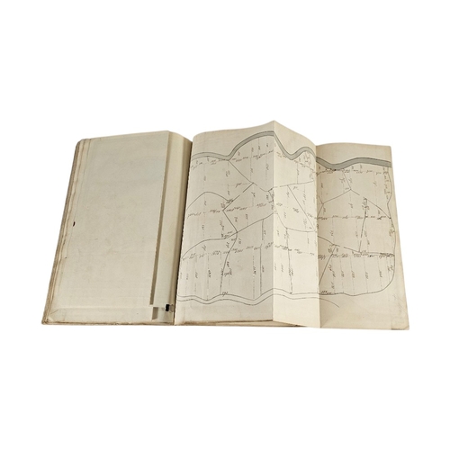
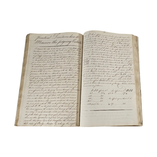
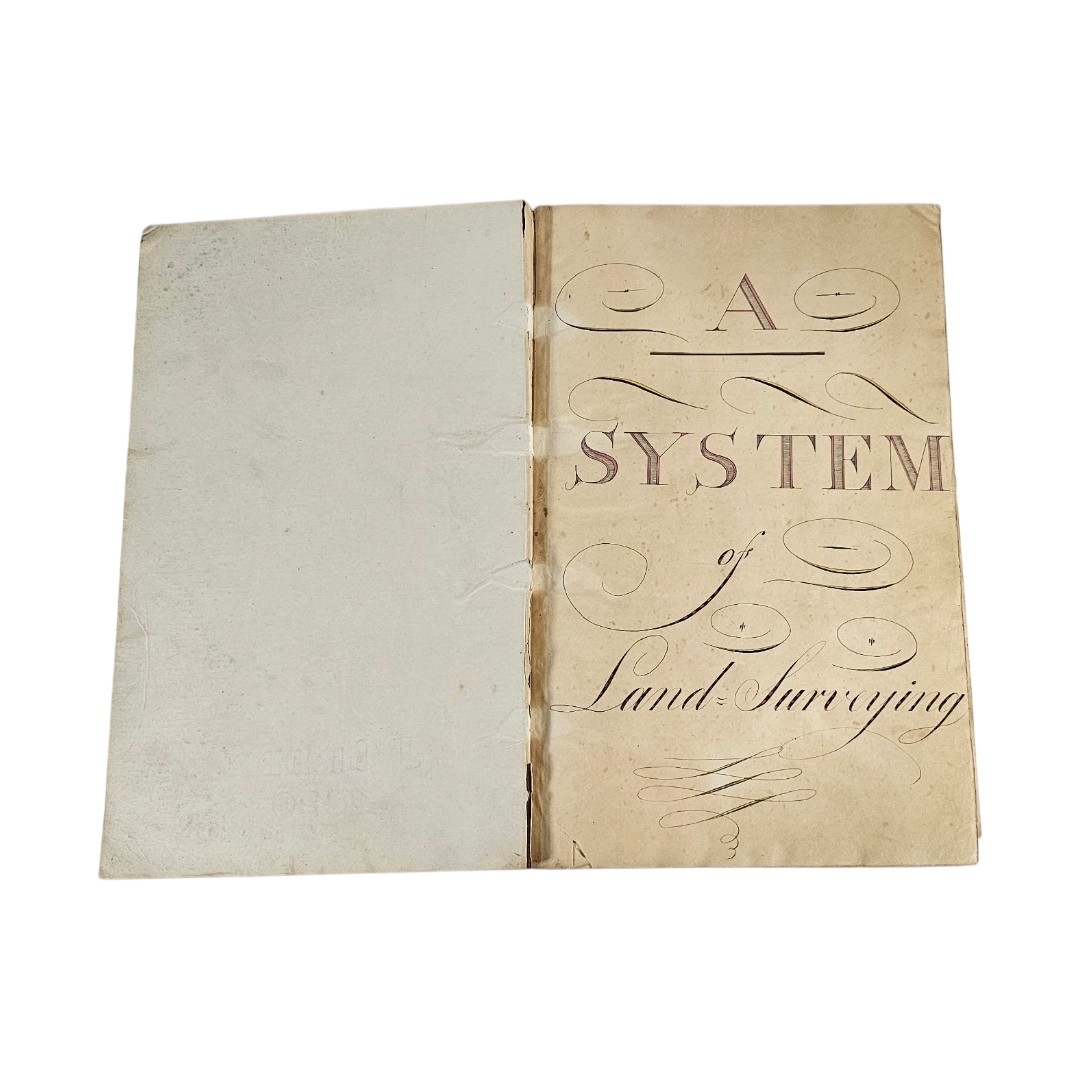
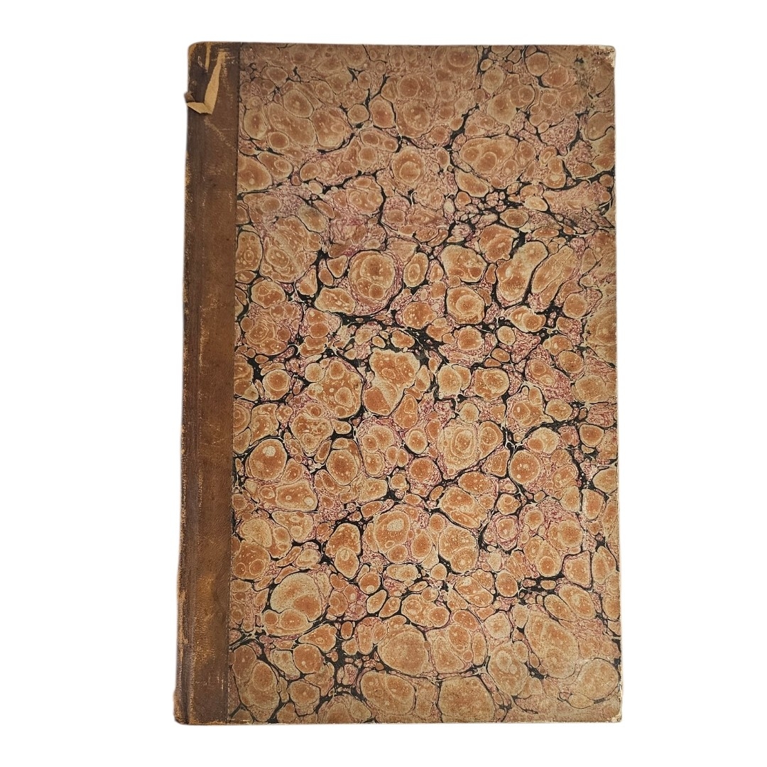
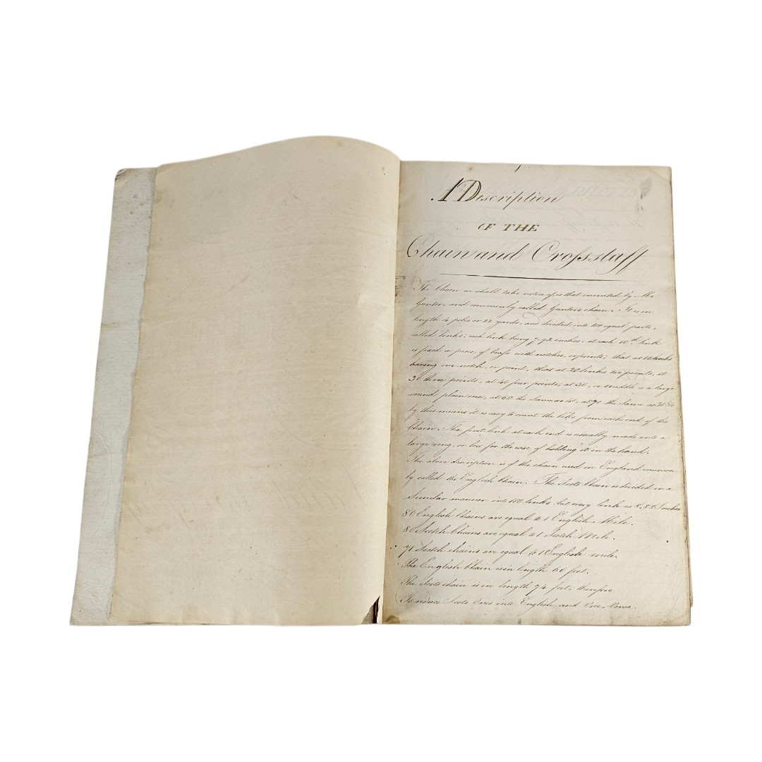
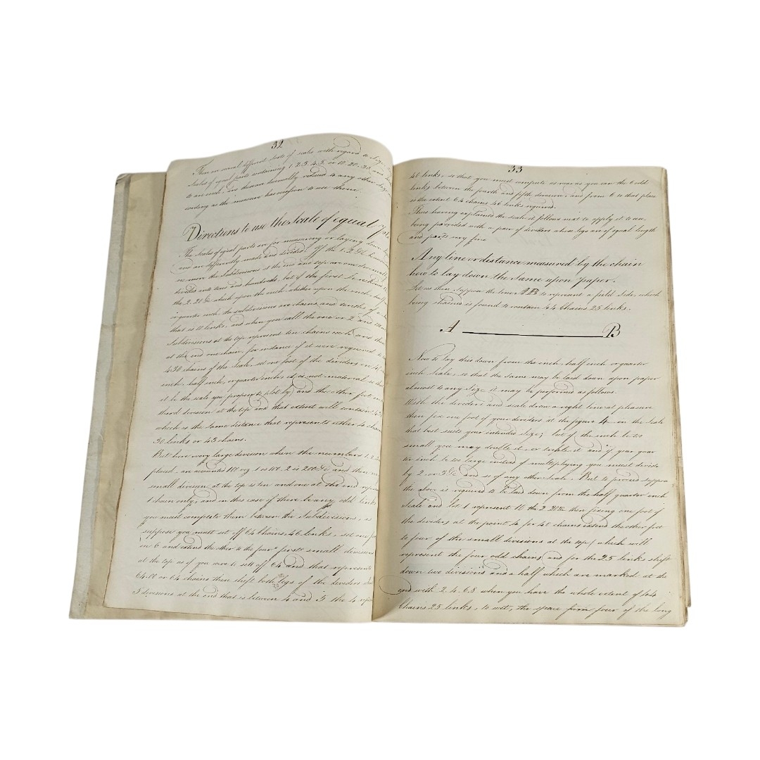
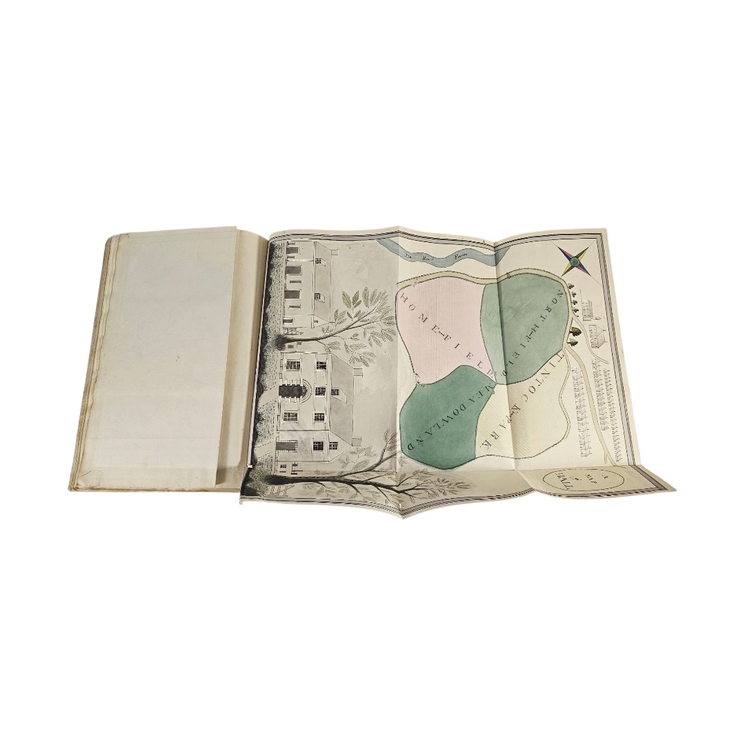
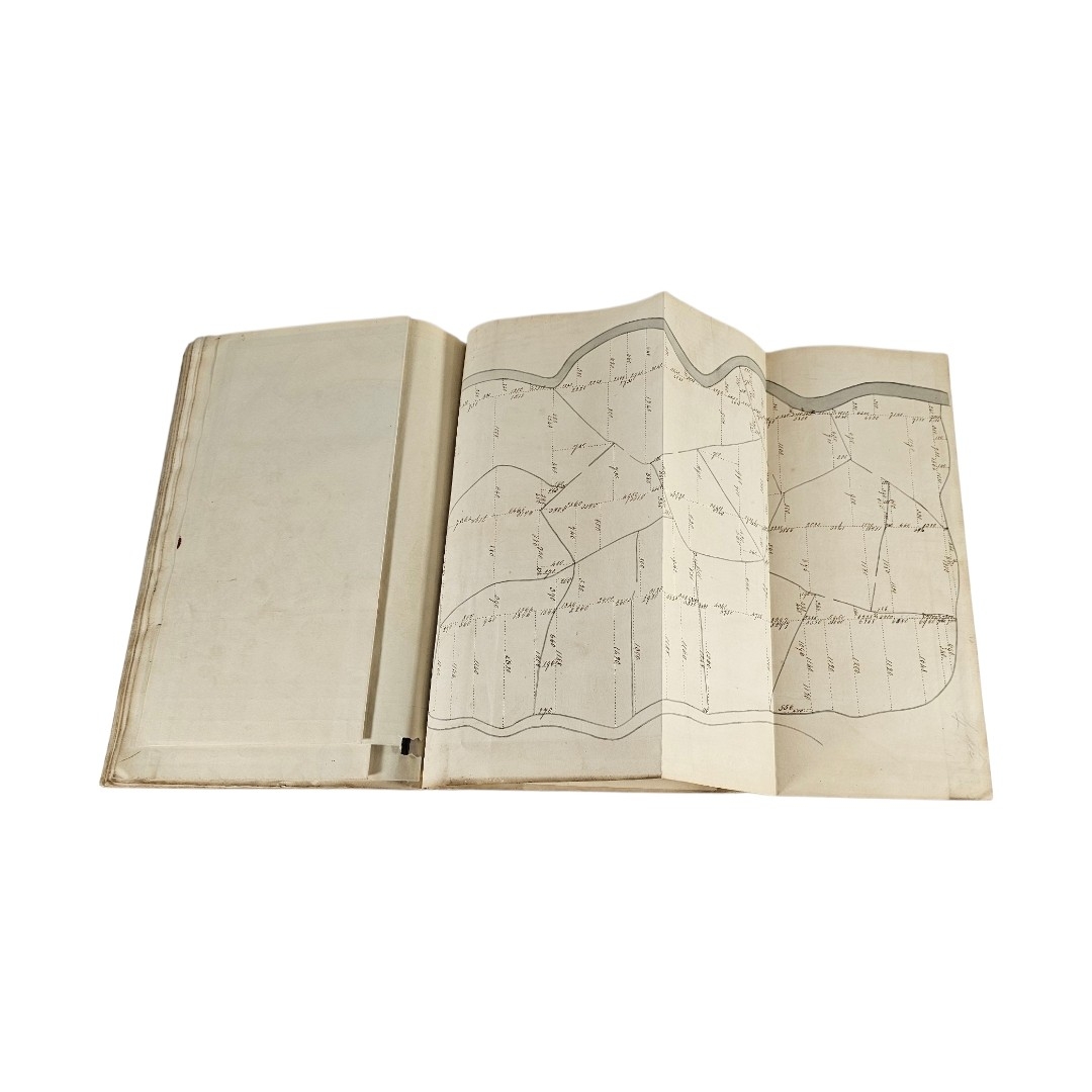
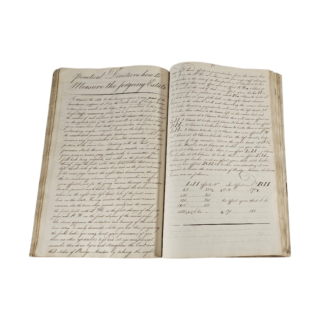
Titled ‘A system of Land Surveying, attributed to William Purves (later Captain William Purves of 9th Native Infantry, an illustrated volume in fine copperplate handwritten containing technical descriptions of Gunter’s Chain and ‘Methods’ for measuring distance, alongside charming watercolor illustrations. Highlights include large, hand-colored folding maps titled ‘A Plan of Stumps and Hall’, depicting a Georgian house and estate, in marbled binding.
Condition: binding, 82 pages and eight fold our illustrations, some slight creasing and staining
Fees apply to the hammer price:
Free Registration
30% inc VAT*
Flat Fee Registration
26.40% inc VAT*