£80 - £120
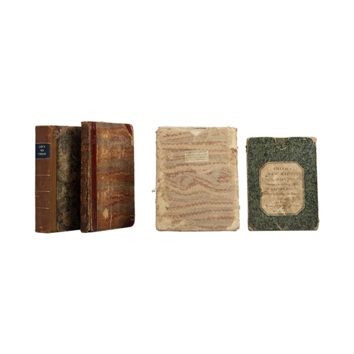
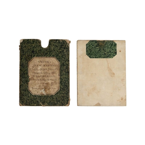
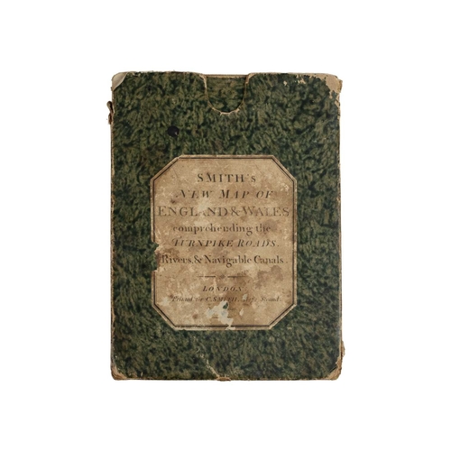
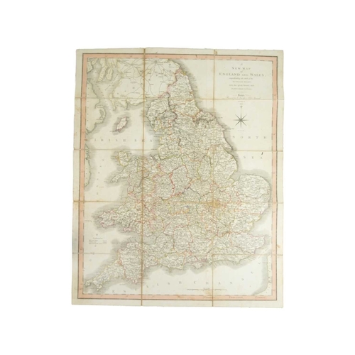
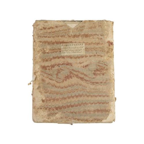
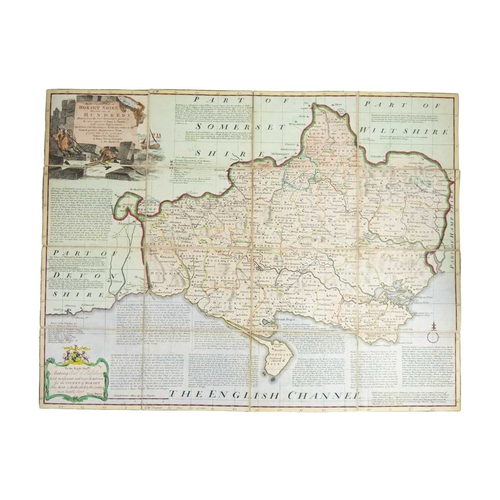
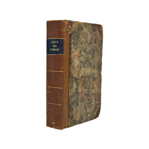
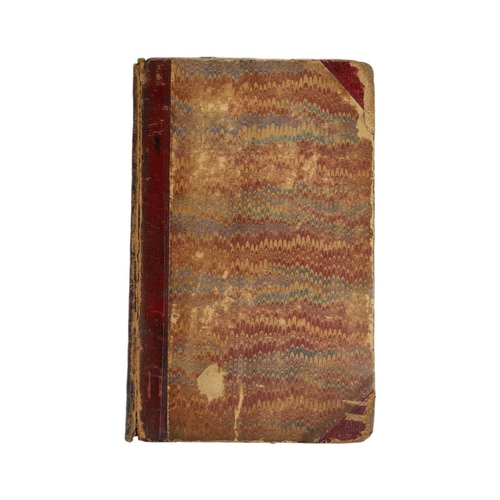
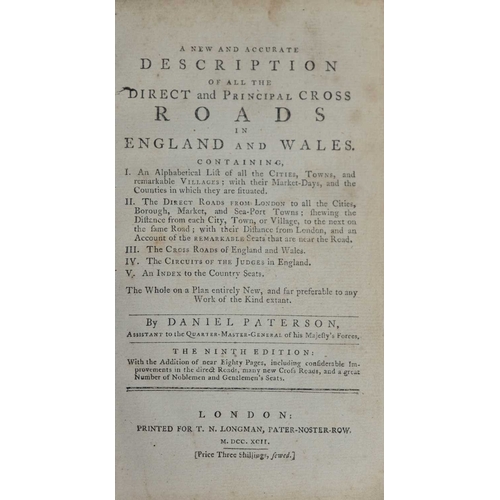
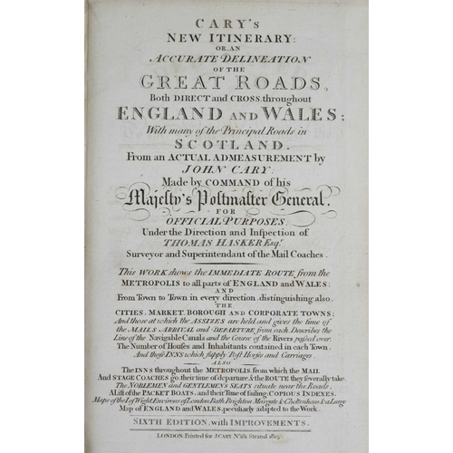
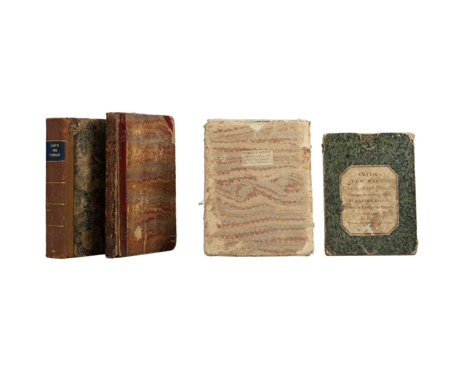
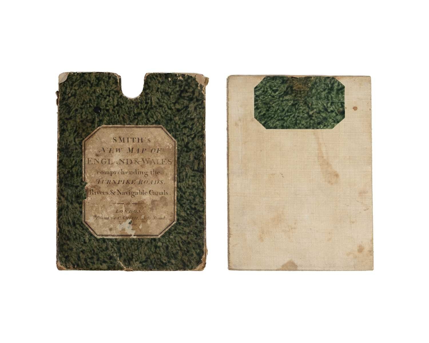
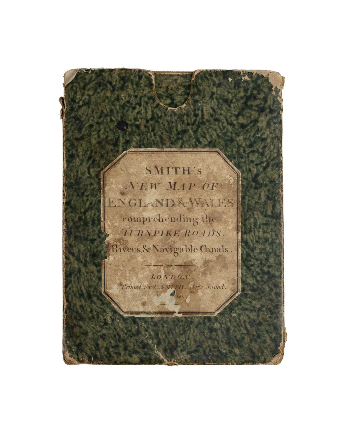
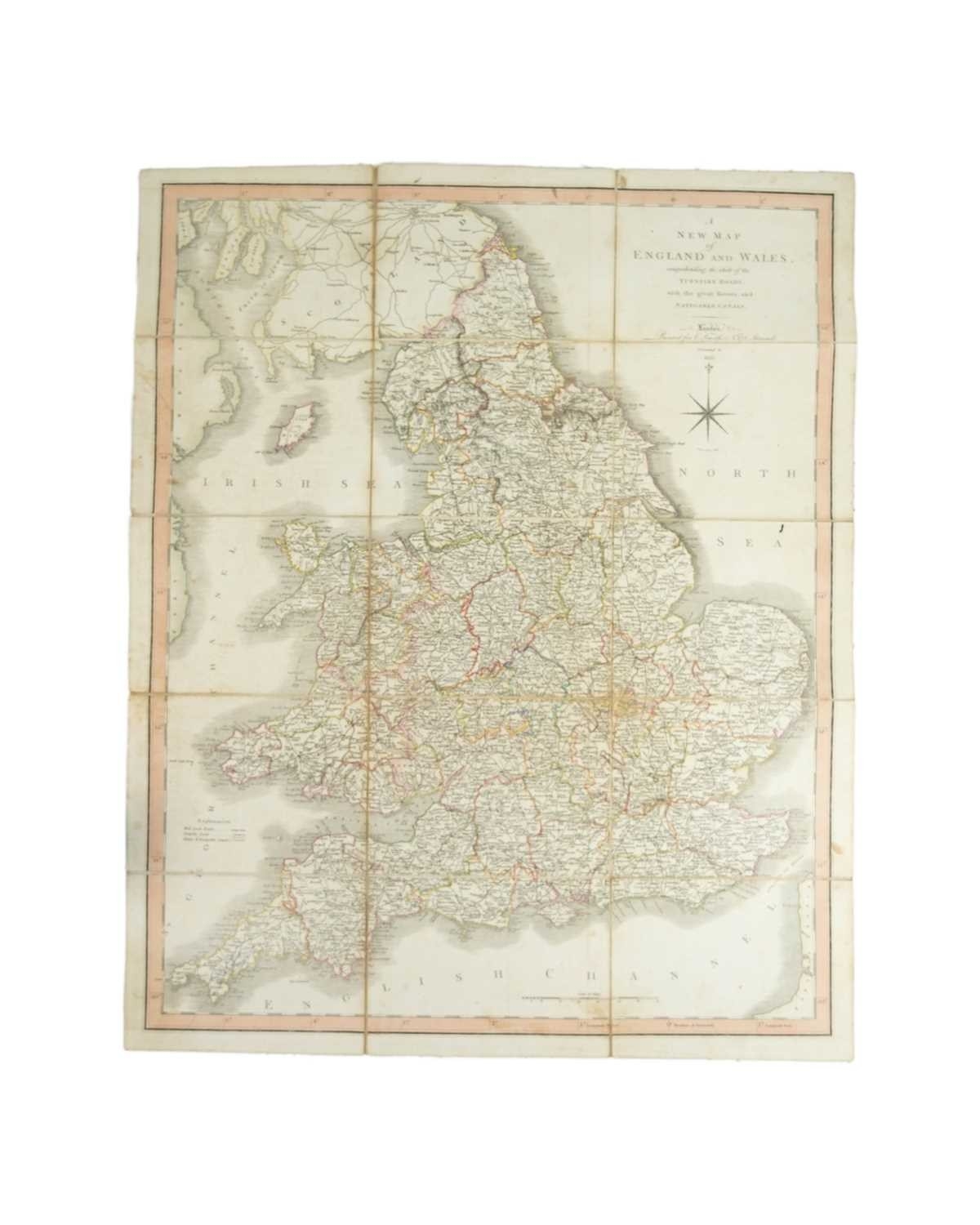
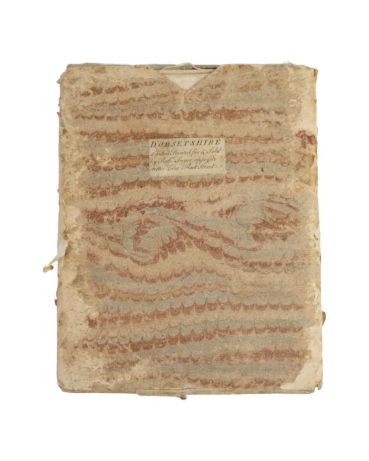
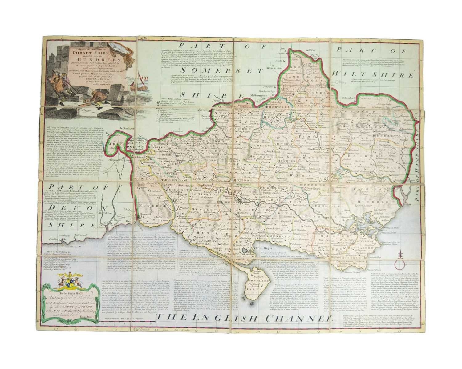
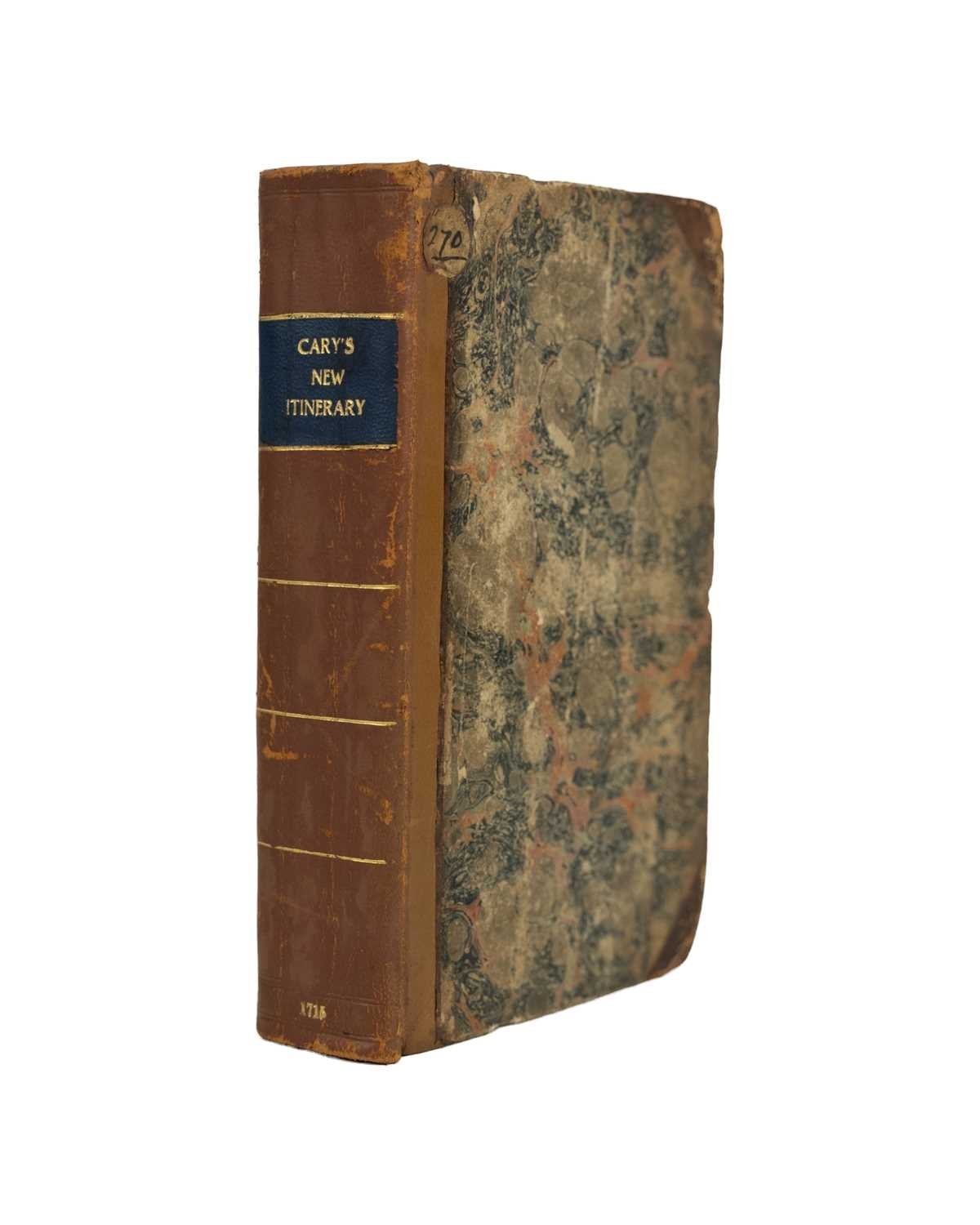
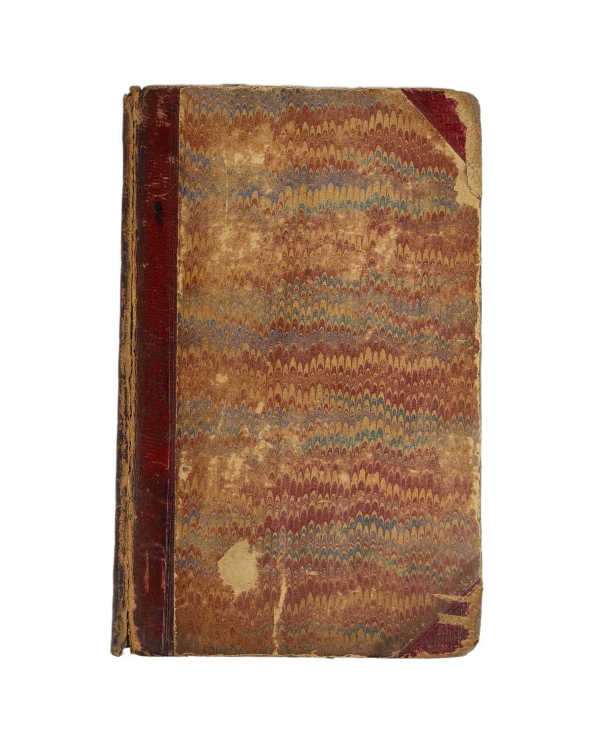
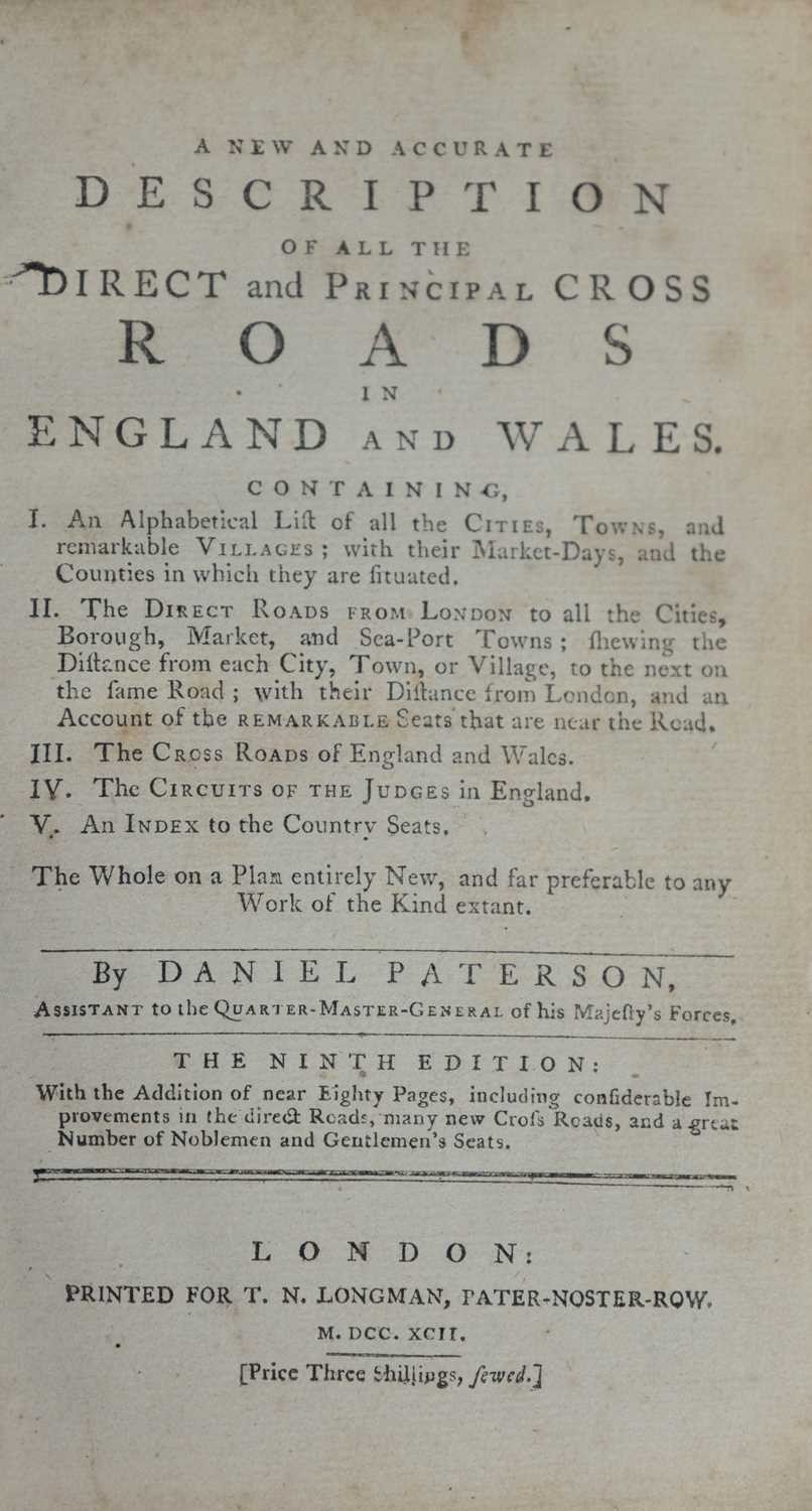
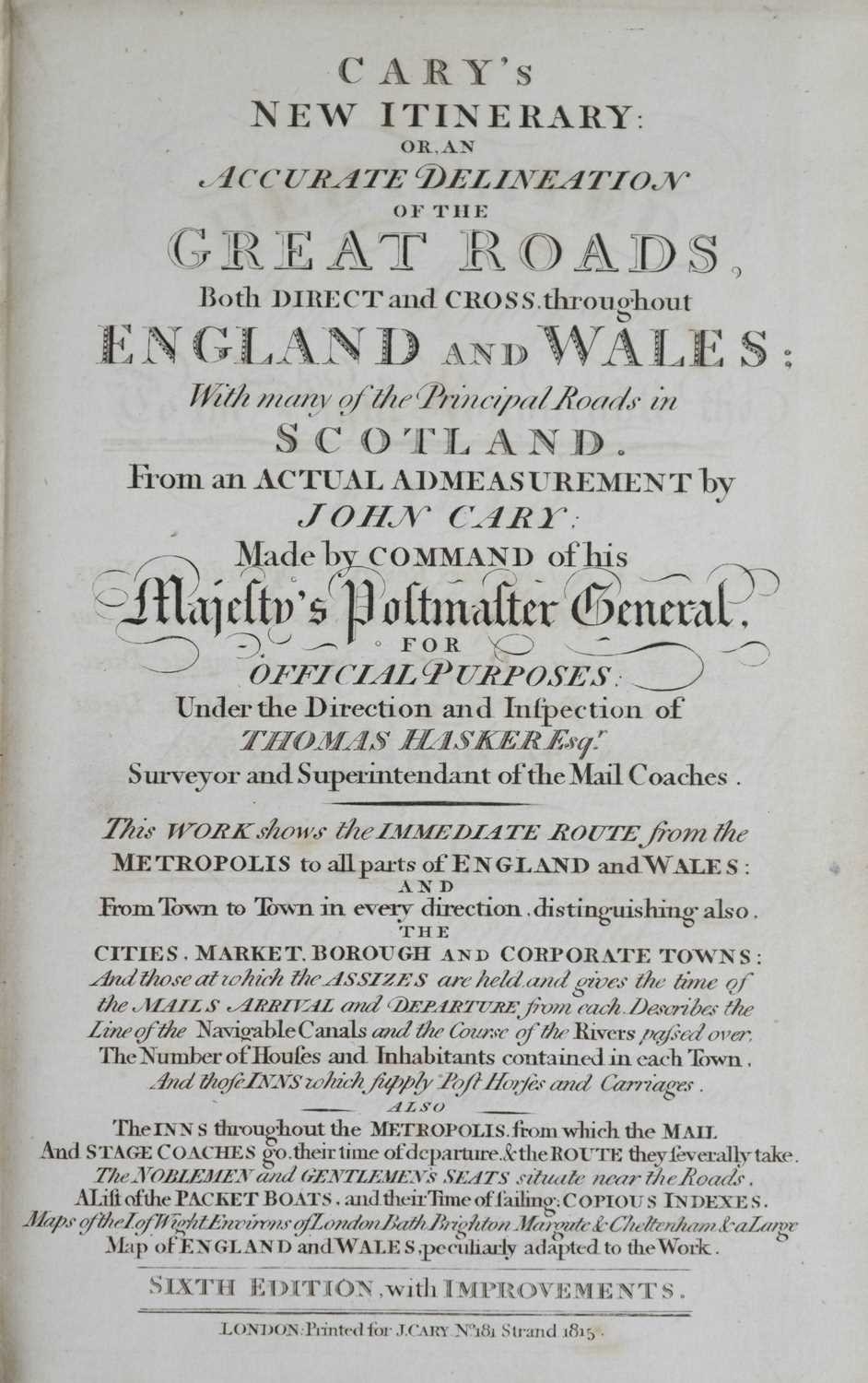
John Cary and Thomas Hasker Cary's New Itinerary: Or, An Accurate Delineation of the Great Roads, Both Direct and Cross throughout England and Wales..... Sixth edition, half calf with marbled boards rebacked, contemporary mapseller label to front pastedown C. Smith, later graphite inscription, calligraphic title and dedication, gutter tear to vg fold out map 'A New Map of England Wales', the work appears to be complete, vg, Printed for J. Cary, London, [c.1815]; Daniel Paterson. 'A New and Accurate Description of All the Direct and Principal Cross Roads in England and Wales,' ninth edition, half red morocco boards debound and rubbed, double page frontis map, internally vg, T. N. Longman, London, 1792; Emanuel Bowen. ' An Accurate Map of Dorset Shire Divided into its Hundreds...,' hand coloured copper engraved map, sectionalised and laid onto linen, contemporary marbled slip, full hand colouring with some unfortunate later borders, [Carington Bowles and Robert Sayer, circa 1765]; with a 'Smith's New Map of England & Wales comprehending the Turnpike Roads, Rivers, & Navigable Canals,' in its original card case. (4)
Fees apply to the hammer price:
Free Registration
28.8% inc VAT*
Flat Fee Registration
25.20% inc VAT*