
£230
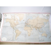
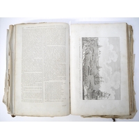
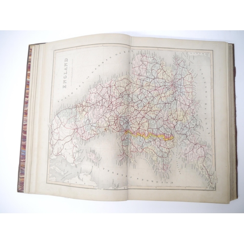
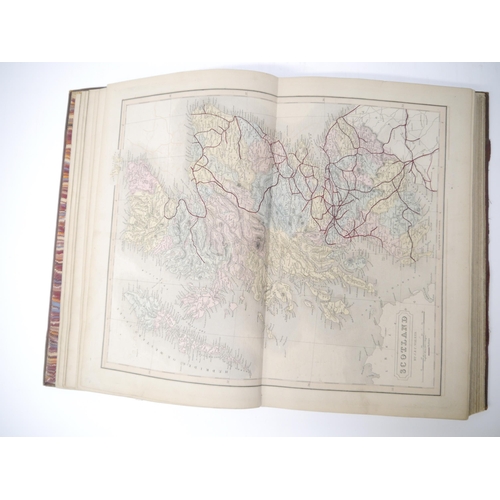
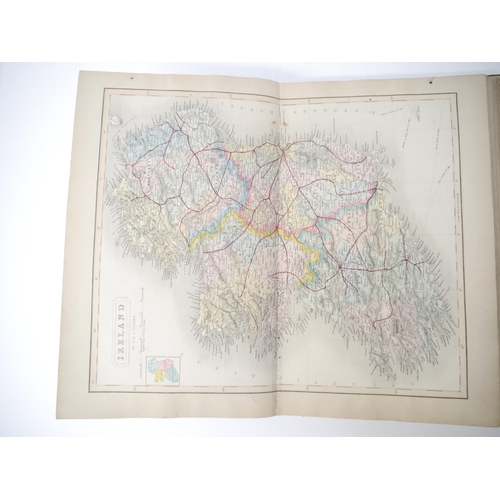
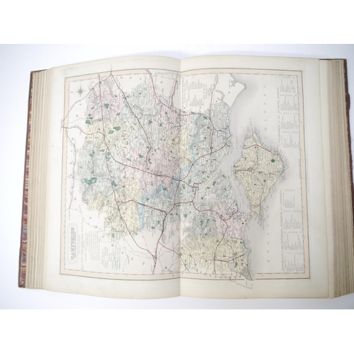
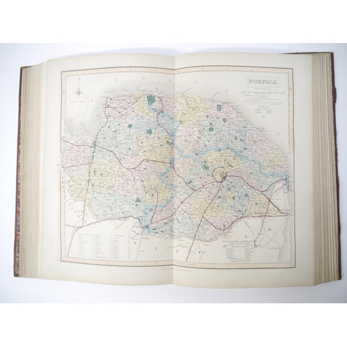
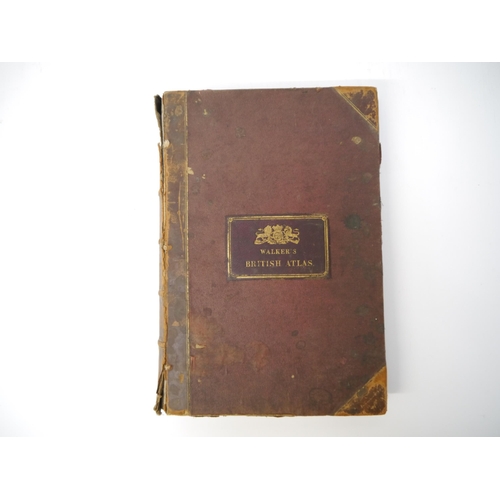
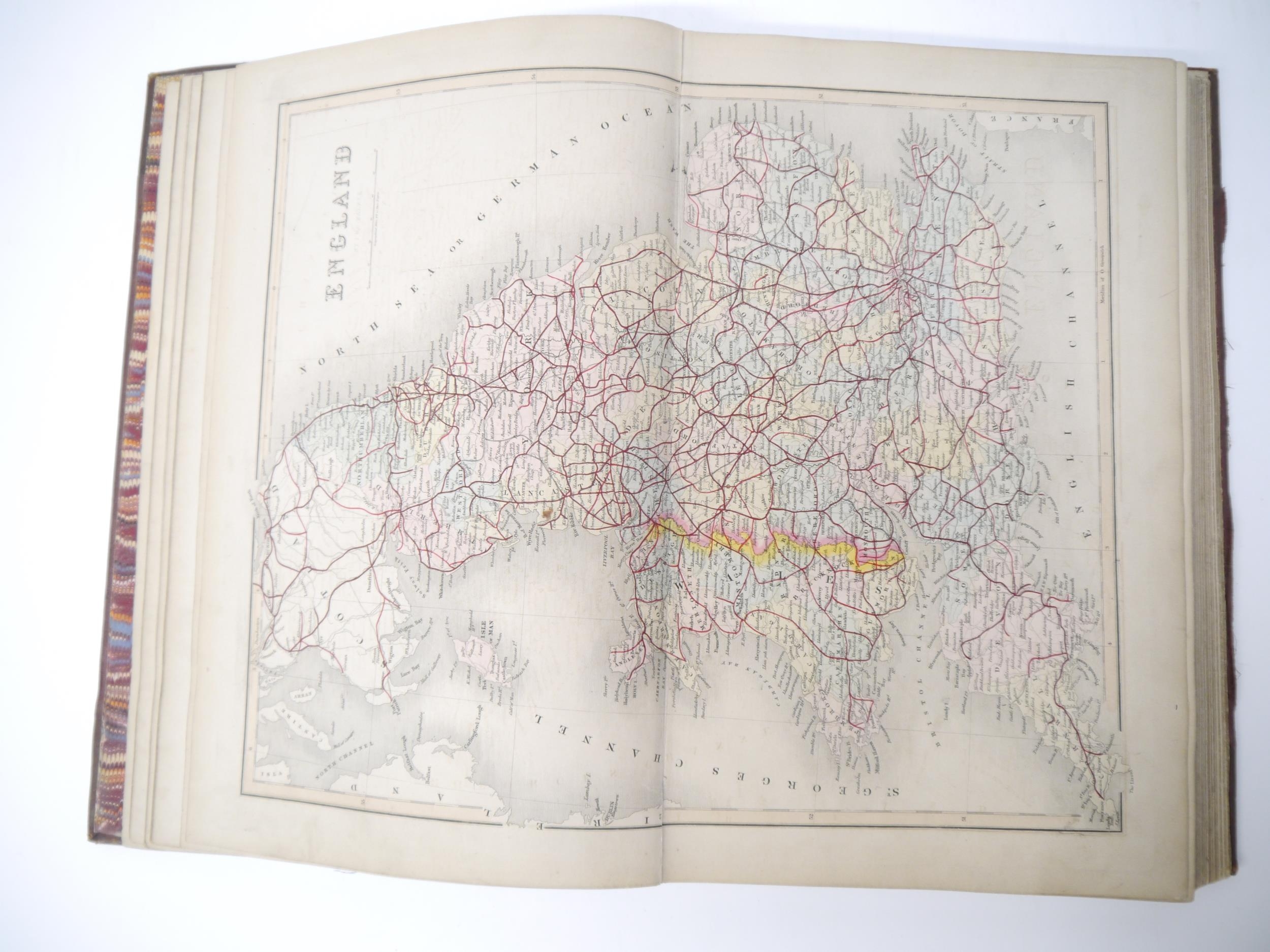
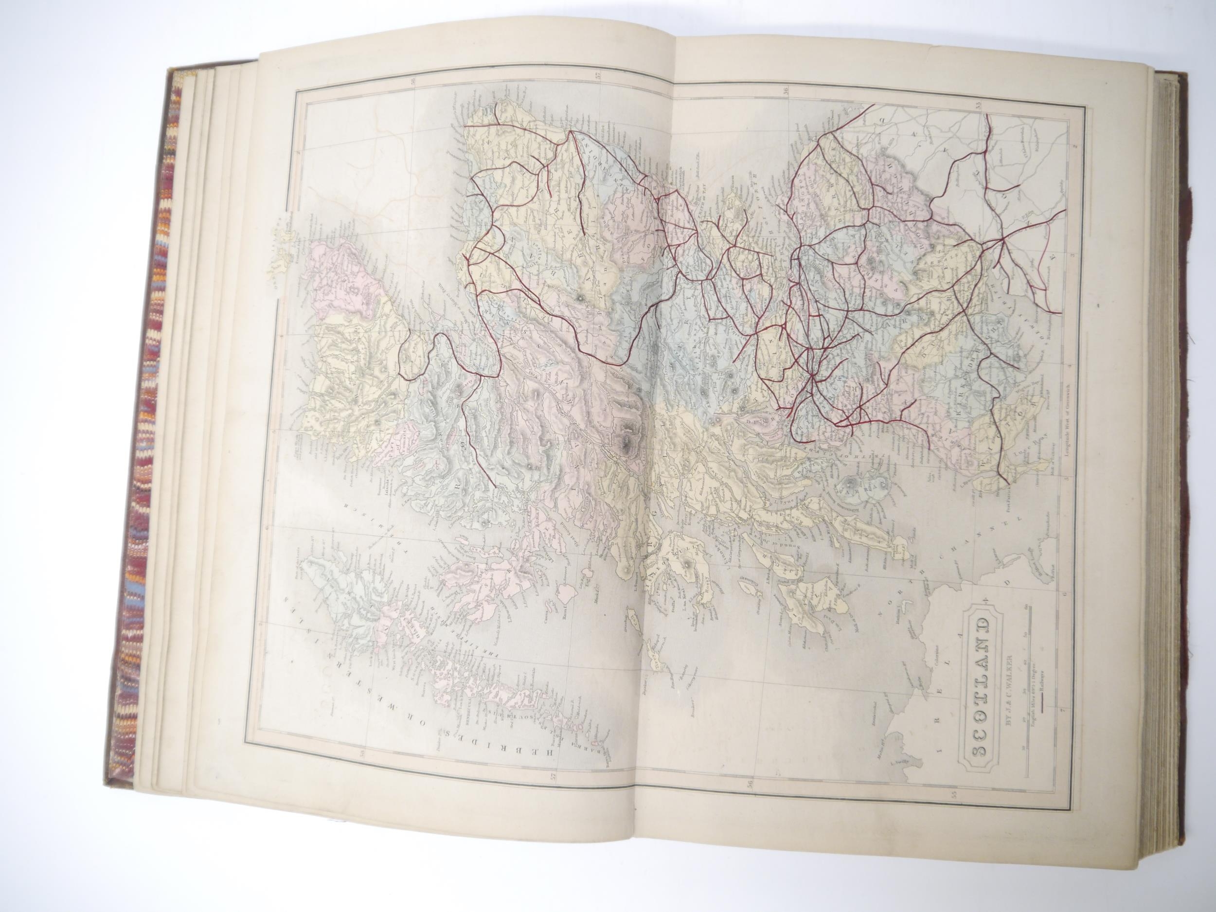
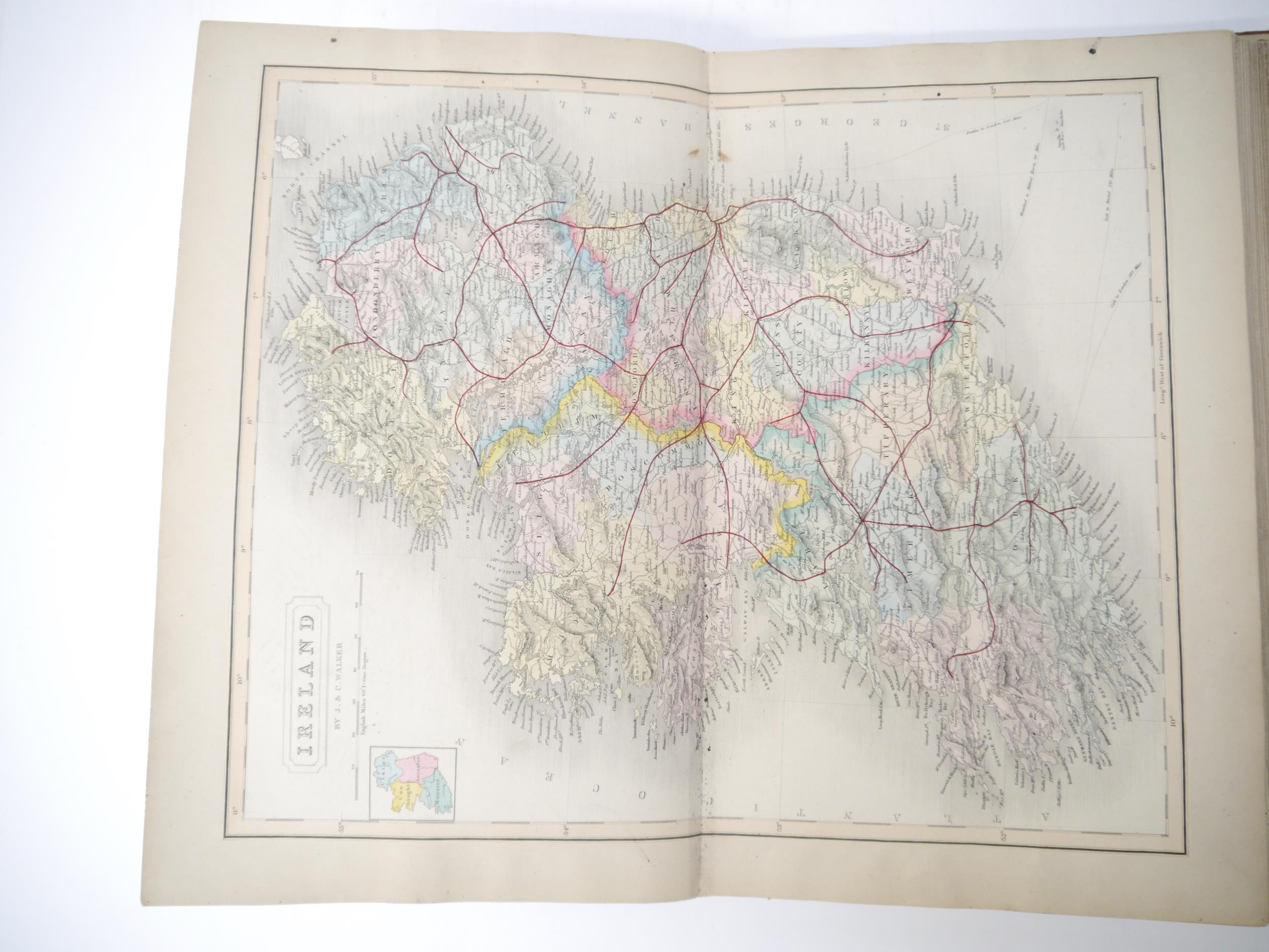
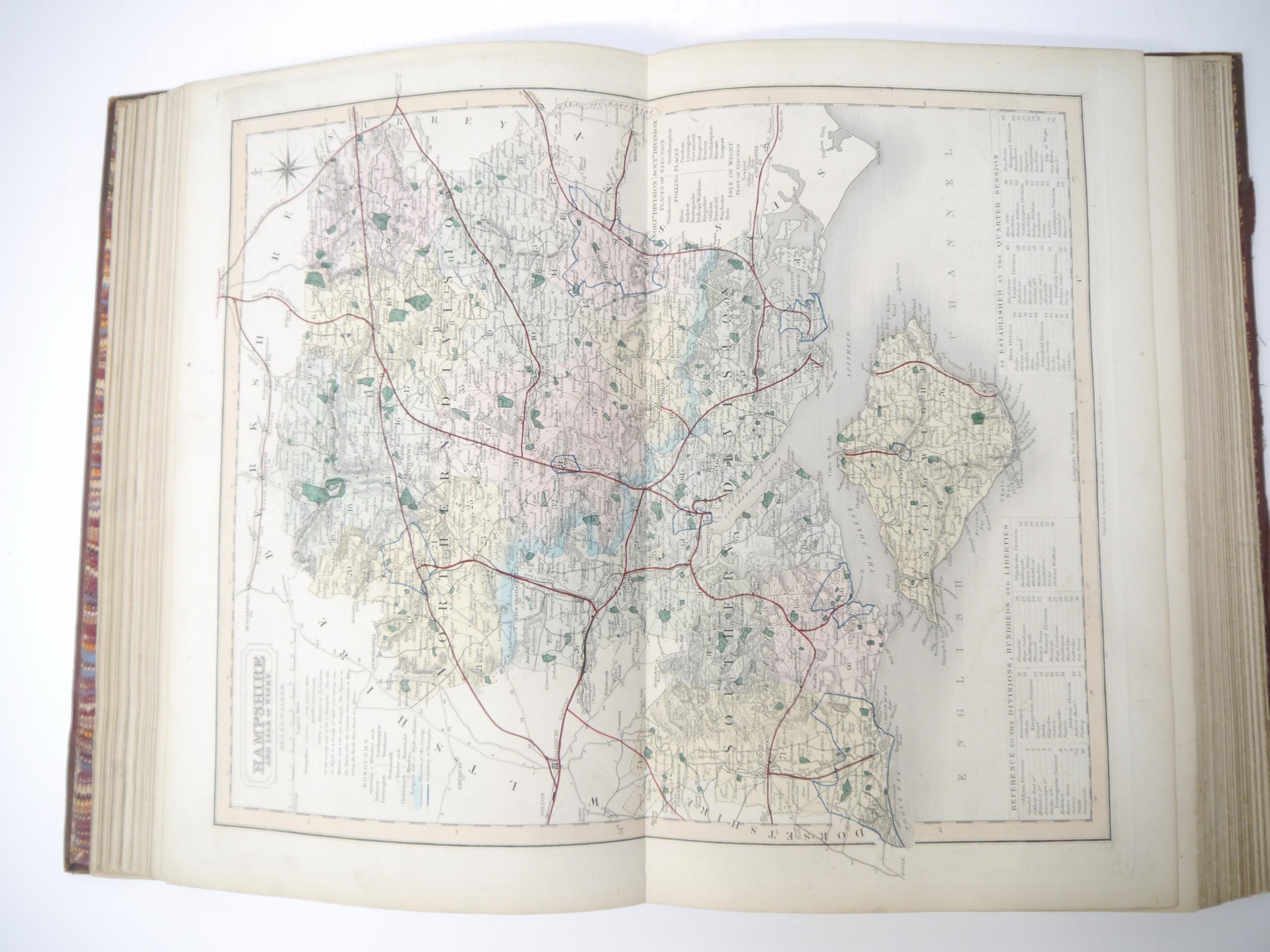
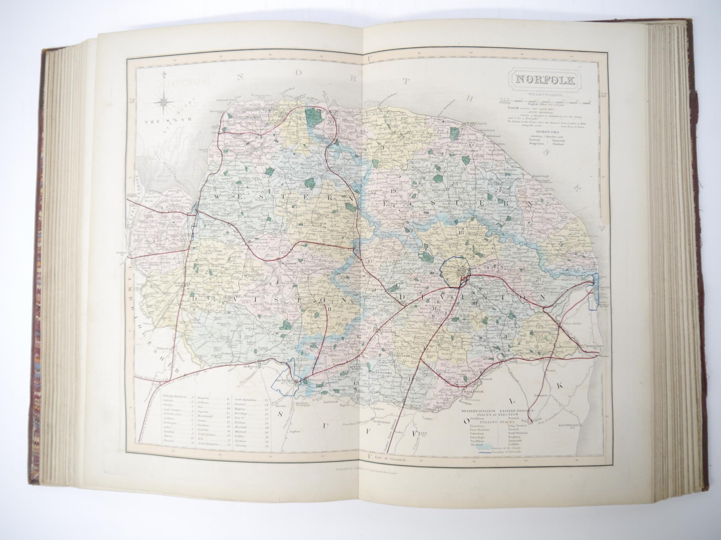
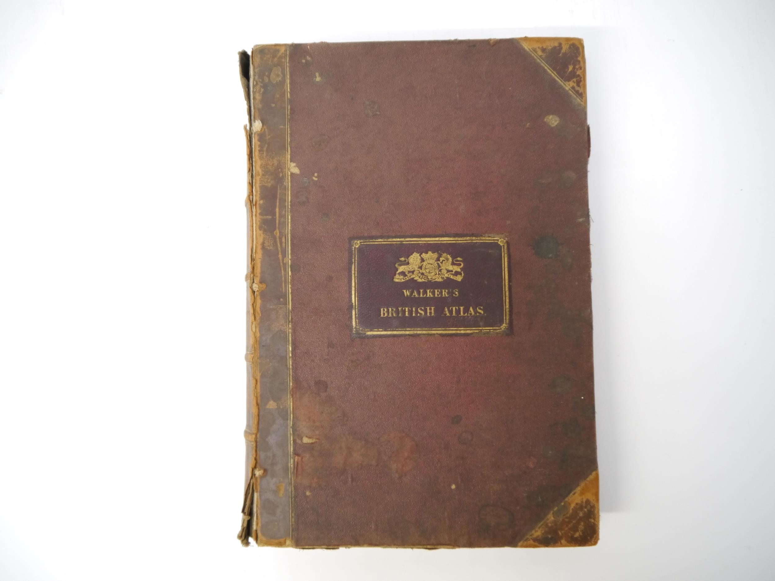
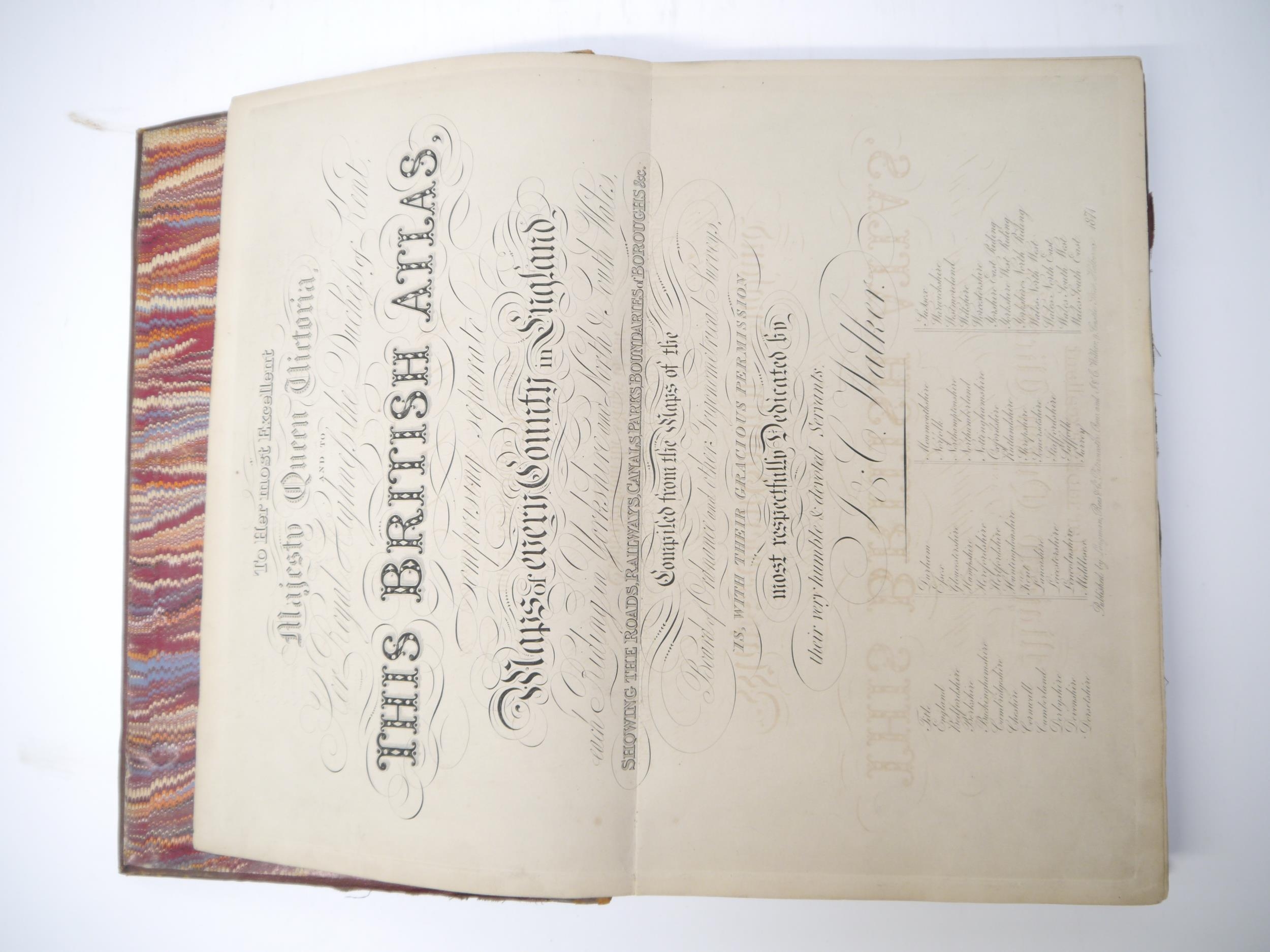
(Atlases, Great Britain), J. & C. Walker (published): 'British Atlas, comprising separate maps of every county in England, each Riding in Yorkshire and North & South Wales, showing the roads, railways, canals, parks, boundaries of boroughs &c. compiled from the maps of the Board of Ordnance and other trigonometrical surveys', London, Longman Rees & Co and J & C Walker, 1874, double page copper engraved title page/dedication page, 5 double page tables of populations of market towns in each county etc, 49 double page engraved hand coloured maps as called for (comprising England, Scotland, Ireland, plus 46 county maps), folio, contemporary half calf gilt (worn), gilt leather title label with gilt Coat of Arms of Queen Victoria above title mounted to front cover
Fees apply to the hammer price:
Free Registration
21.6% inc VAT*
Flat Fee Registration
18.00% inc VAT*