£400
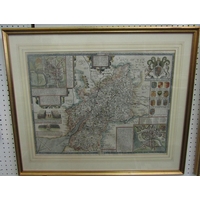
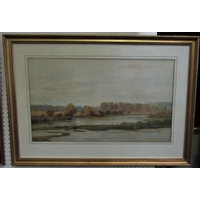
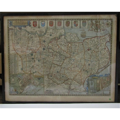
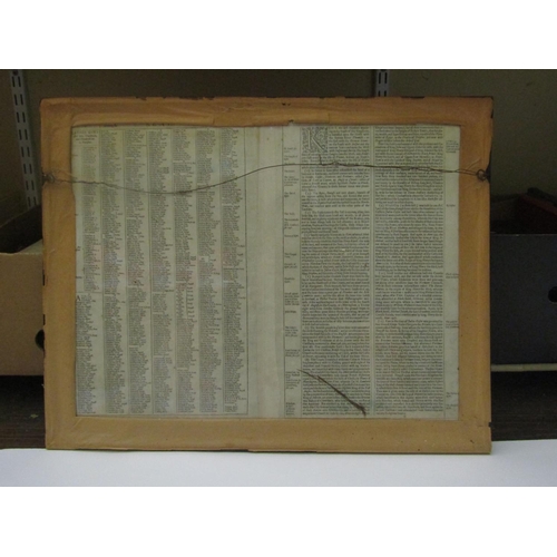
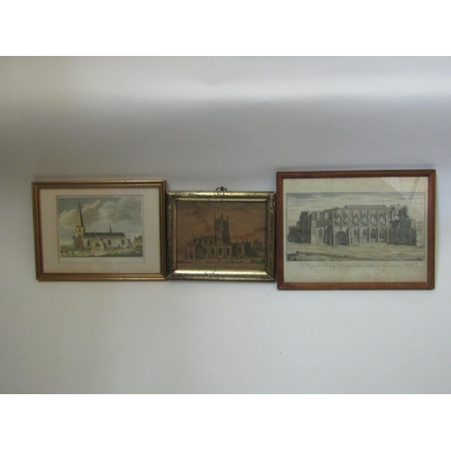
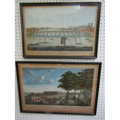
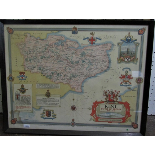
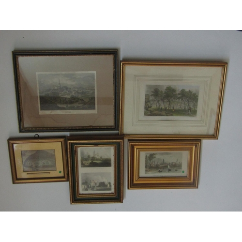
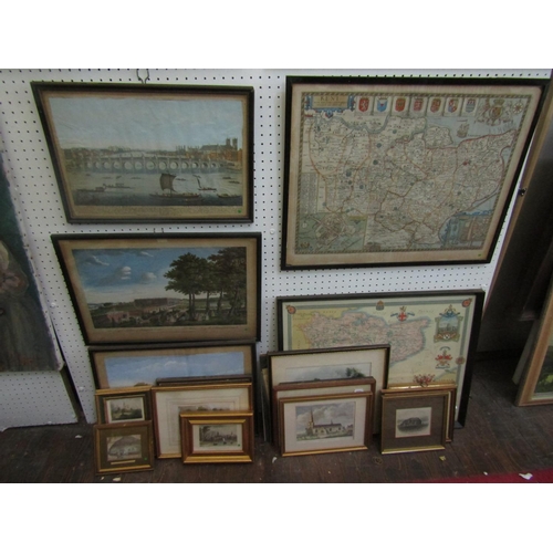
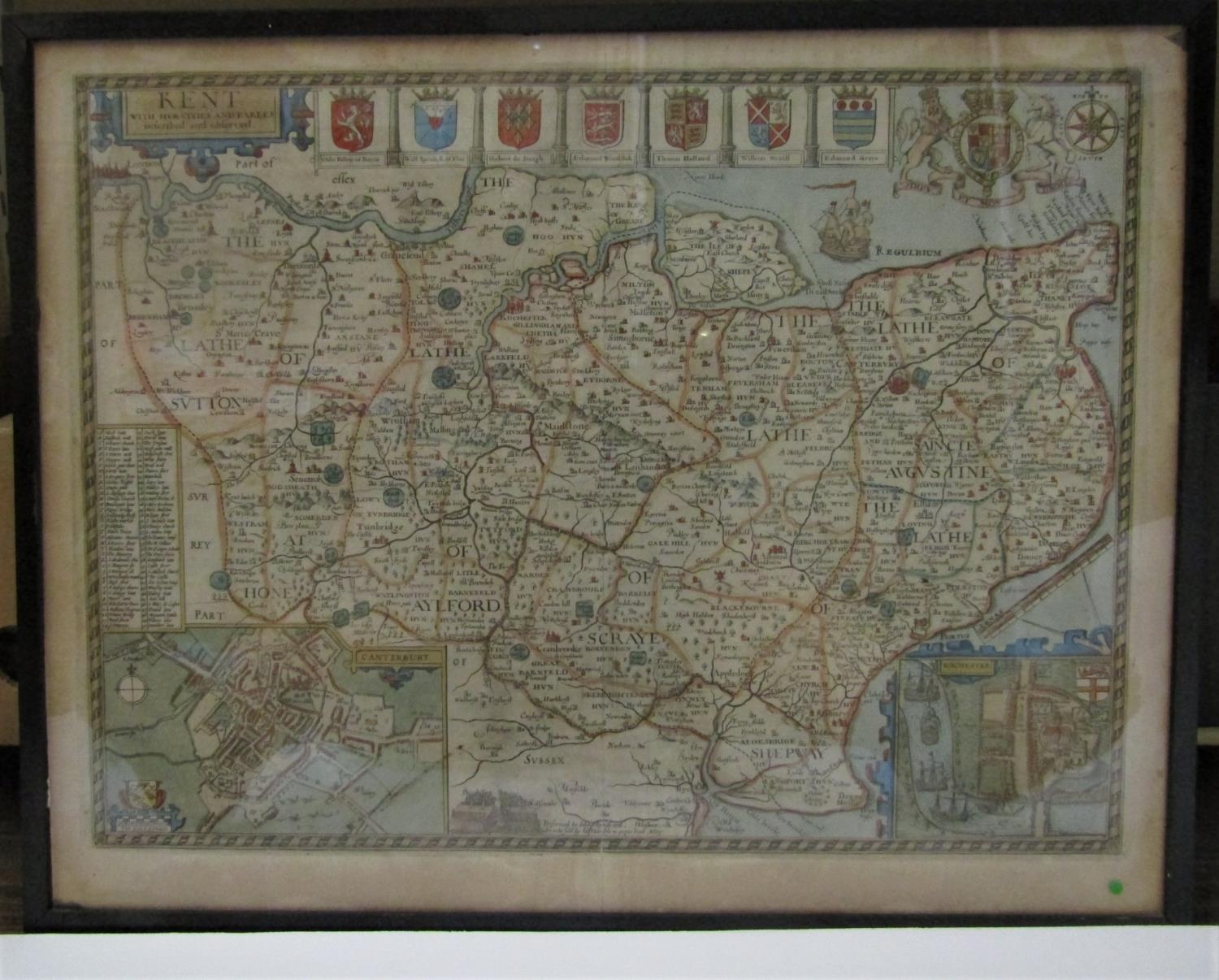
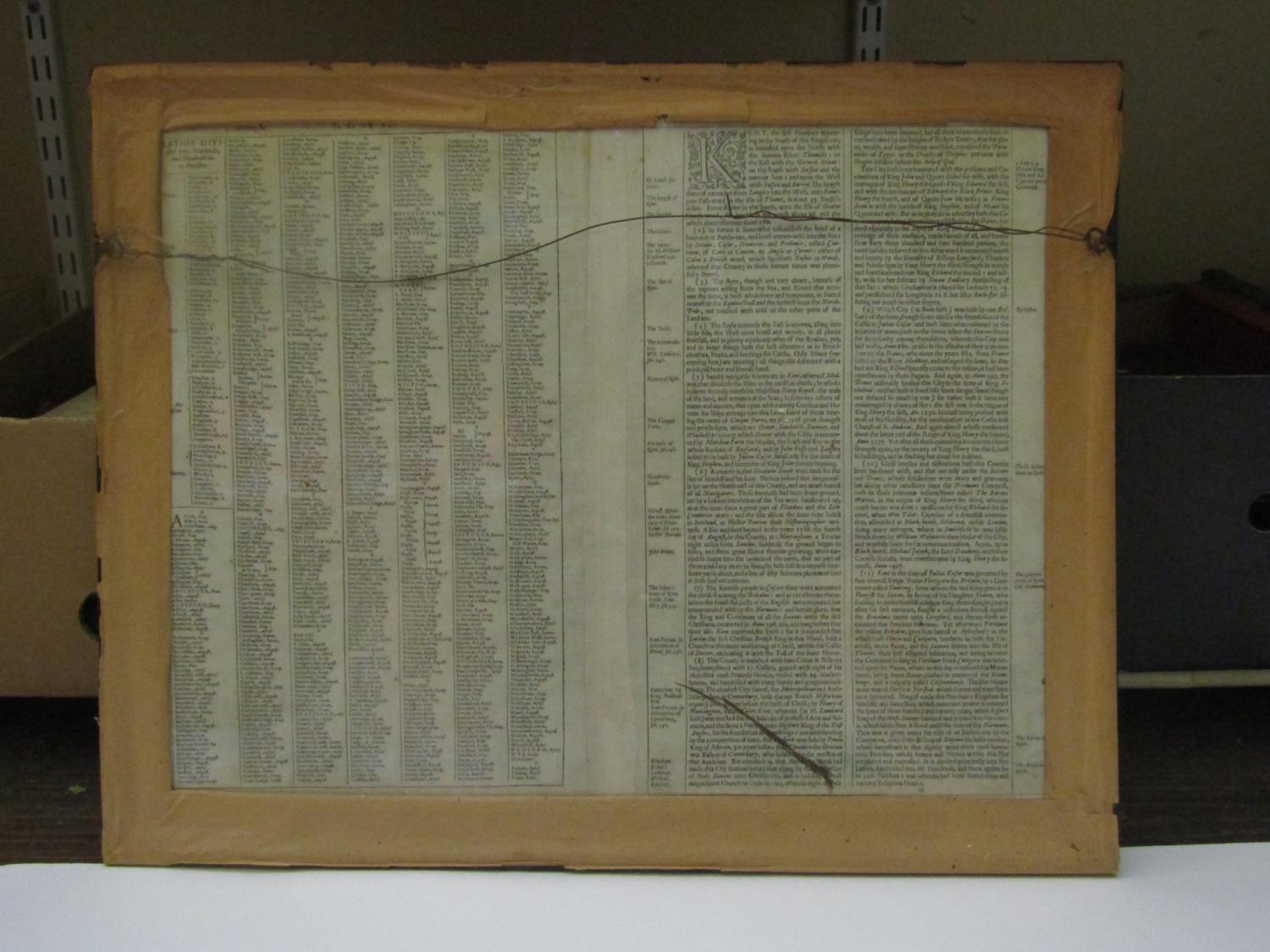
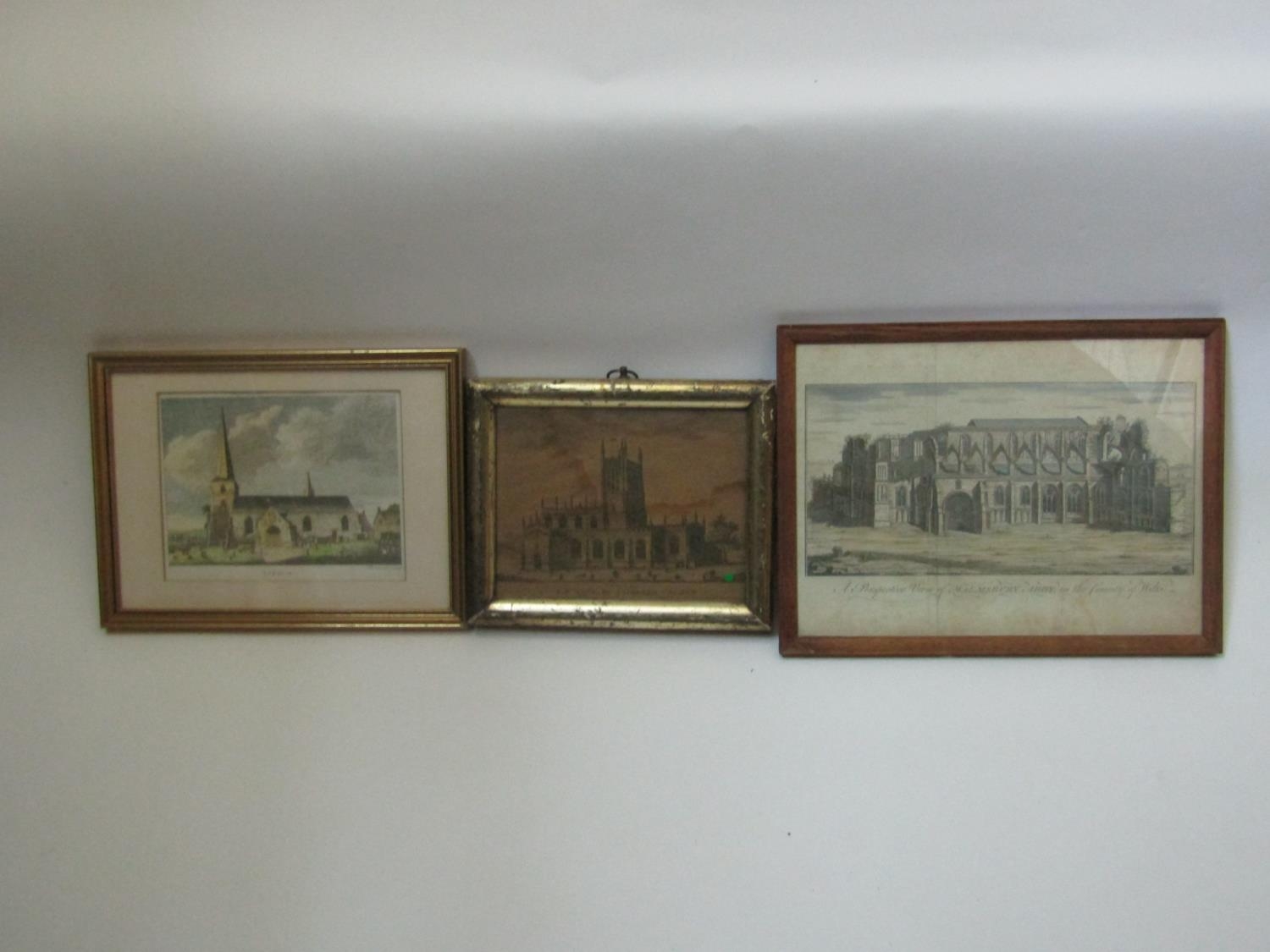
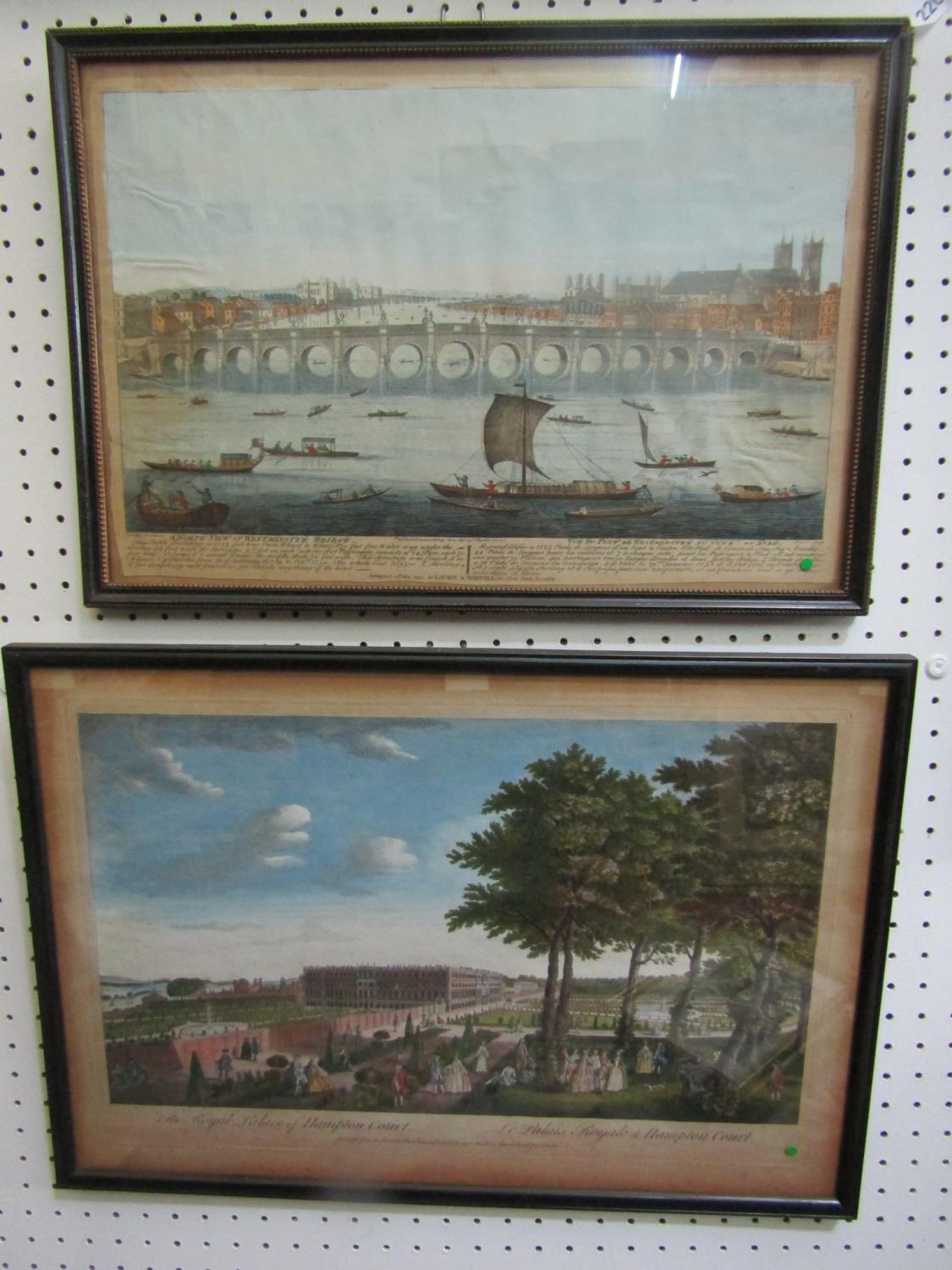
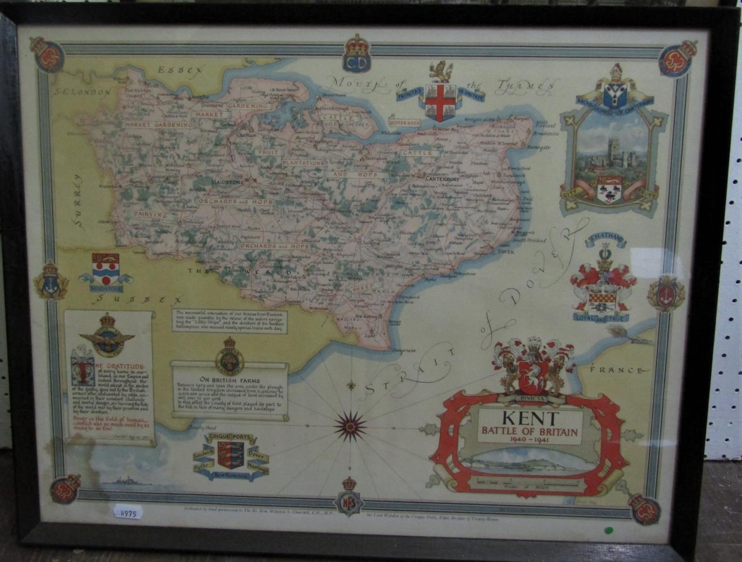
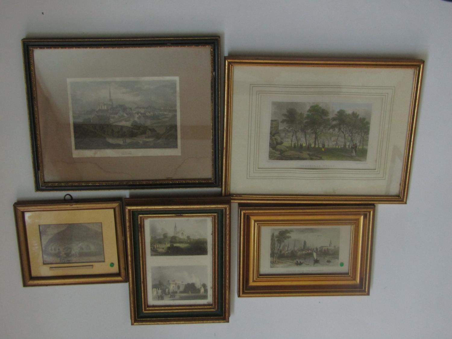
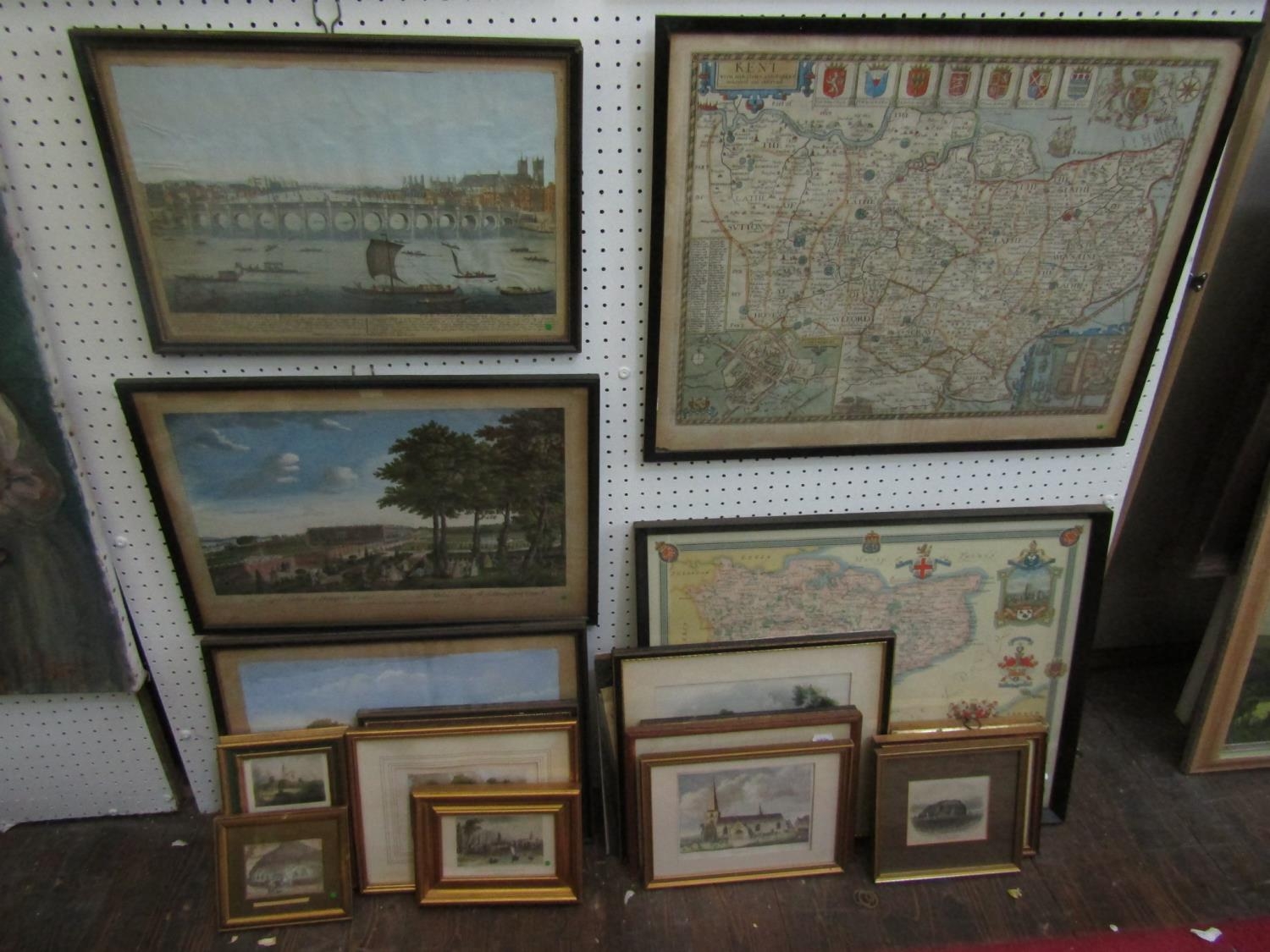
John Speed (British 1552-1629) - Hand coloured engraved map of Kent sold by George Humble, 42 x 54.5cm approx visible sheet size, together with a coloured map of Kent showing the Battle of Britain locations 1940-1941, various late 18th and 19th century topographical prints and engravings including a view of the Royal Hospital at Chelsea, engraved by T Bowles, 29.5 x 43cm, an engraving of a view of Westminster Bridge, by Parr, published 1794 by Laurie & Whittle, 26 x 39.5cm approx visible sheet size, etc, mostly framed (a collection)
Please see images
Fees apply to the hammer price:
Free Registration
25.2% inc VAT*
Flat Fee Registration
21.60% inc VAT*